Twentynine Palms in San Bernardino County, California — The American West (Pacific Coastal)
Cattle Days in Hidden Valley
Inscription.
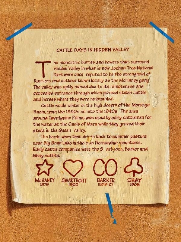
The monolithic buttes and towers that surround Hidden Valley in what is now Joshua Tree National Park were once reputed to be the stronghold of Rustlers and outlaws known locally as the McHaney gang. The valley was aptly named due to its remoteness and concealed entrance through which passed stolen cattle and horses where they were re-branded.
Cattle would winter in the high desert of the Morongo Basin, from the 1880s on into the 1940s. The area around Twentynine Palms was used by early cattlemen for the water at the Oasis Of Mara while they grazed their stock in the Queen Valley.
The herds were then driven back to summer pasture near Big Bear Lake in the San Bernardino mountains. Early cattle companies were the Swarthout, Barker and Shay outfits.
Erected 2000 by Action 29 Palms. (Marker Number 16.)
Topics. This historical marker is listed in these topic lists: Agriculture • Parks & Recreational Areas • Settlements & Settlers.
Location. 34° 8.349′ N, 116° 3.284′ W. Marker is in Twentynine Palms, California, in San Bernardino County. Marker is on Adobe Road just south of Gorgonio Drive, on the right when traveling south. Mural and marker cover the north side of the building at this address. Touch for map. Marker is at or near this postal address: 6308 Adobe Road, Twentynine Palms CA 92277, United States of America. Touch for directions.
Other nearby markers. At least 8 other markers are within 2 miles of this marker, measured as the crow flies. Jack Cones (a few steps from this marker); Good Times at Smith's Ranch (a few steps from this marker); Keys' Desert Queen Ranch (within shouting distance of this marker); Flash Flood (about 400 feet away, measured in a direct line); The Desert Trail (about 500 feet away); Oasis of Mara (approx. 0.3 miles away); Minerva Hamilton Hoyt (approx. 1.2 miles away); Champion of the Desert (approx. 1.2 miles away). Touch for a list and map of all markers in Twentynine Palms.
More about this marker. Mural artist: John Pugh of Los Gatos, CA.
Related markers. Click here for a list of markers that are related to this marker. Oasis of Murals • 29 Palms
Also see . . .
1. Valentine's Day. Action 29 Palms website entry:
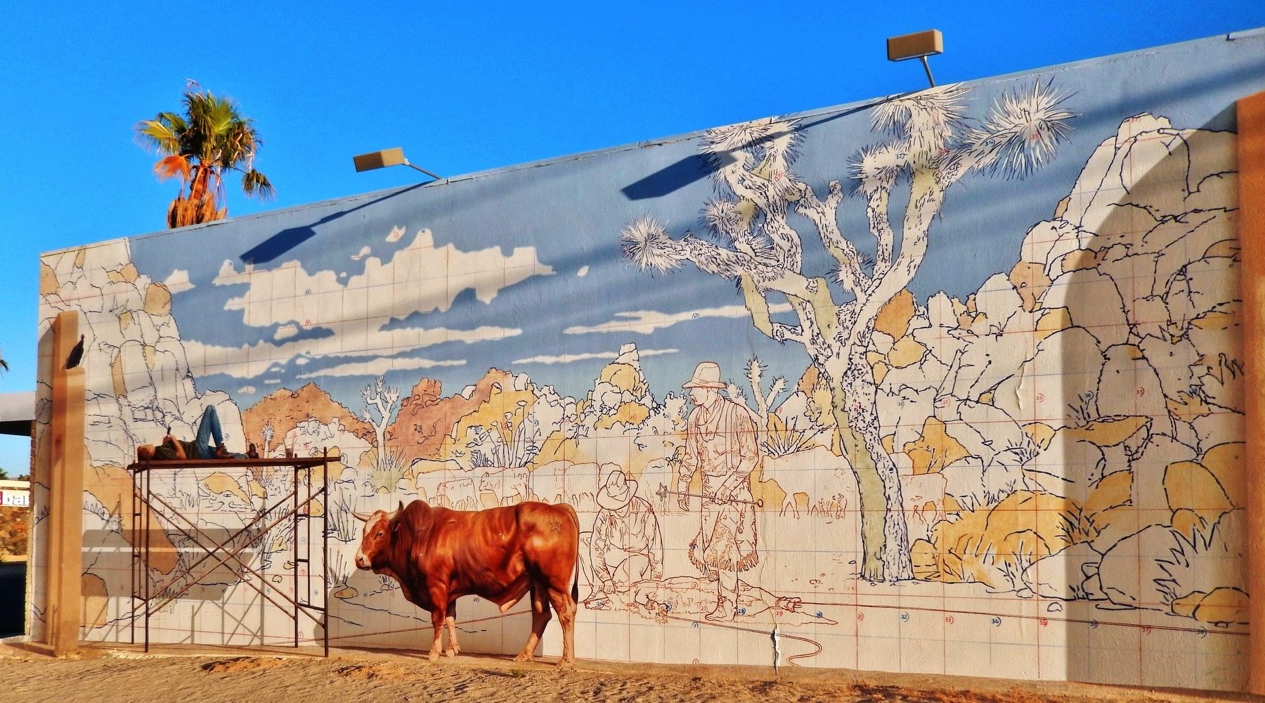
This trompe l’oeil mural tells a story about an artist who fell asleep while painting a mural. As the artist dreams about his subject, Cattle Days in Hidden Valley, in what is now Joshua Tree National Park, a rodeo bull named Valentine is metamorphosed into reality next to the scaffolding. Named for the white heart shape on his head, Valentine also bears the McHaney gang brand, as if he traveled out of the historical scene in the mural. Waiting for the artist to awake, along with a patient vulture, Valentine will soon have his day. The mural was created by art illusionist John Pugh, who is world famous for his trompe l’oeil (fool the eye) murals. (Submitted on January 29, 2021, by Cosmos Mariner of Cape Canaveral, Florida.)
2. Cow Camp. Wikipedia entry:
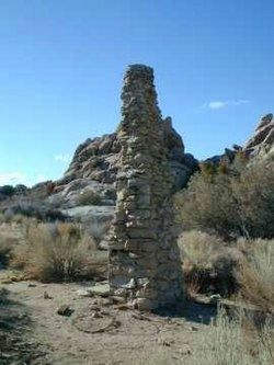
Cow Camp, located in Joshua Tree National Park, was associated with cattle rustling in the 1880s and 1890s. The camp was first established by the "McHaney Gang" in the late 1880s. Cattle rustlers used the camp into the 1890s. (Submitted on January 29, 2021, by Cosmos Mariner of Cape Canaveral, Florida.)

via Wikipedia, unknown
3. Cow Camp remnant
National Register of Historic Places Nomination Form
Click for more information.
Click for more information.
Credits. This page was last revised on October 31, 2021. It was originally submitted on January 28, 2021, by Cosmos Mariner of Cape Canaveral, Florida. This page has been viewed 390 times since then and 51 times this year. Photos: 1, 2. submitted on January 29, 2021, by Cosmos Mariner of Cape Canaveral, Florida. 3. submitted on October 31, 2021, by Larry Gertner of New York, New York.

