Near Worden in Yellowstone County, Montana — The American West (Mountains)
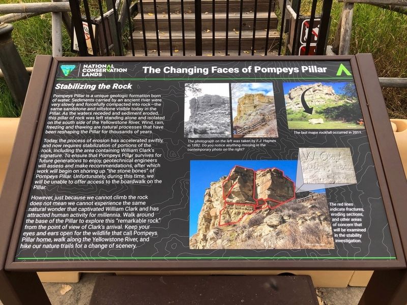
The Changing Faces of Pompeys Pillar
Stabilizing the Rock

Photographed By Barry Swackhamer, September 14, 2020
1. The Changing Faces of Pompeys Pillar Marker
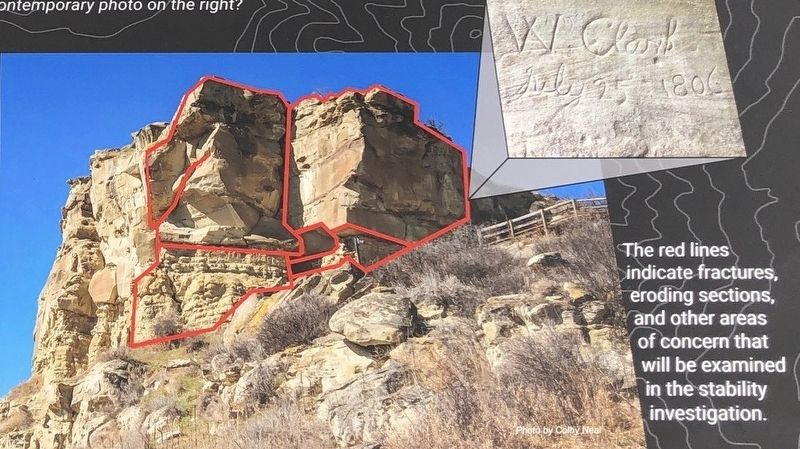
Captions: (upper center two photos) The photograph on the left was taken by F.J. Haynes in 1882. Do you notice anything missing in the contemporary photo on the right?; (upper right) The last major rockfall occurred in 2011.; (bottom right) The red lines indicate fractures, eroding sections, and other areas of concern that will be examined in the stability investigation.
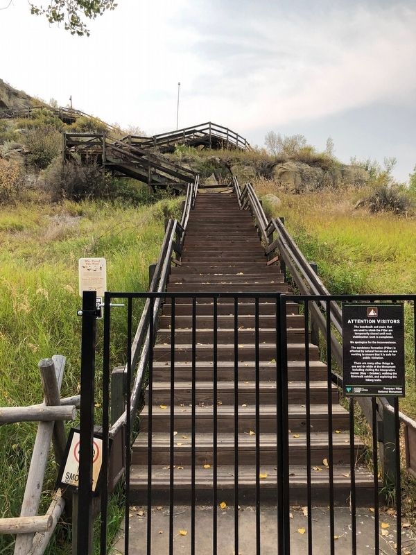
Today, the process of erosion has accelerated swiftly, and now requires stabilization of portions of the rock, including the area containing William Clark's signature. To ensure that Pompeys Pillar survives for future generations to enjoy, geotechnical engineers will assess and make recommendations, after which work will begin on shoring up "the stone bones" of Pompeys Pillar. Unfortunately during this time, we will be unable of offer access to the boardwalk on the Pillar.
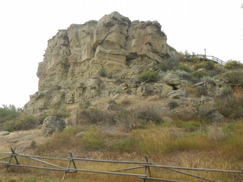
However, just because we cannot climb the rock does not mean we cannot experience the same natural wonder that captivated William Clark and has attracted human activity for millennia. Walk around the base of the Pillar to explore this "remarkable rock" from the point of view of Clark's arrival. Keep you eyes and ears open for the wildlife that call Pompeys Pillar home, walk along the Yellowstone River, and hike our nature trails for a change of scenery.
Erected by Bureau of Land Management.
Topics and series. This historical marker is listed in this topic list: Natural Features. In addition, it is included in the Lewis & Clark Expedition series list.
Location. 45° 59.729′ N, 108° 0.243′ W. Marker is near Worden, Montana, in Yellowstone County. Marker can be reached from State Highway 312 near South 31st Road, on the right when traveling west. The marker is located at the base of the boardwalk up Pompeys Pillar. Touch for map. Marker is at or near this postal address: 3001 Highway 312, Worden MT 59088, United States of America. Touch for directions.
Other nearby markers. At least 8 other markers are within walking distance of this marker. The Pompeys Pillar Legacy (here, next to this marker); Pompey's Pillar (within shouting distance of this marker); Three Forks: Clark's Party Splits (within shouting distance of this marker); Yellowstone River: A Water Expressway (within shouting distance of this marker); Transportation: Traveling Downstream (within shouting distance of this marker); Transportation: Hoofing It (within shouting distance of this marker); A Crossroads of Events (about 400 feet away, measured in a direct line); Injury Forces a Halt to Build Canoes (about 400 feet away). Touch for a list and map of all markers in Worden.
Credits. This page was last revised on January 28, 2021. It was originally submitted on January 28, 2021, by Barry Swackhamer of Brentwood, California. This page has been viewed 135 times since then and 8 times this year. Photos: 1, 2, 3, 4. submitted on January 28, 2021, by Barry Swackhamer of Brentwood, California.


