Near La Pointe in Ashland County, Wisconsin — The American Midwest (Great Lakes)
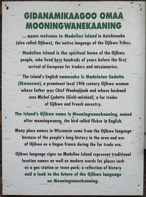
Gidanamikaagoo omaa Mooningwanekaaning
Photographed by McGhiever, September 5, 2019
1. Gidanamikaagoo omaa Mooningwanekaaning marker
Madeline Island is the spiritual home of the Ojibwe people, who lived here hundreds of years before the first arrival of European fur traders and missionaries.
The island's English namesake is Madeleine Cadotte (Ikwesewe), a prominent local 19th century Ojibwe woman whose father was Chief Waabajijaak and whose husband was Michel Cadotte (Gichi-miishen), a fur trader of Ojibwe and French ancestry.
The island's Ojibwe name is Mooningwanekaaning, named after mooningwaneg, the bird called flicker in English.
Many places name in Wisconsin come from the Ojibwe language because of the people's long history in the area and use of Ojibwe as a lingua franca during the fur trade era.
Ojibwe language signs on Madeline Island represent traditional location names as well as modern words for places such as a gas station or town park; a reflection of history and a look to the future of the Ojibwe language on Mooningwanekaaning.
Topics. This historical marker is listed in these topic lists: Indigenous Peoples and Communities
this page online
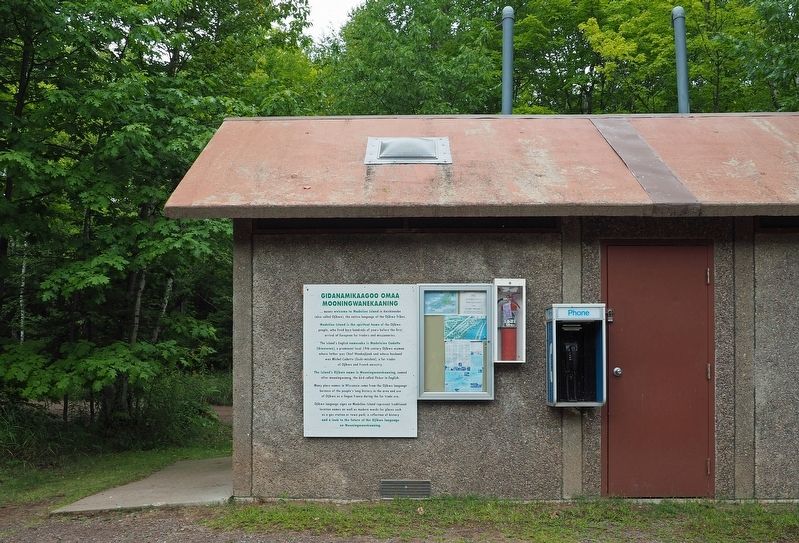
Location. 46° 49.179′ N, 90° 40.612′ W. Marker is near La Pointe, Wisconsin, in Ashland County. It is on Town Park Circle east of Big Bay Road, on the left when traveling east. Marker is in Big Bay Town Park, mounted on the restroom building near the east end of the parking lot. Touch for map. Marker is at or near this postal address: 2305 Town Park Circle, La Pointe WI 54850, United States of America. Touch for directions.

Regionally, this marker is on the North Shore. It is also in the American Midwest, in the Corn Belt, and on Lake Superior’s South Shore Region. Globally, it is in North America, in the Great North Woods, on the Great Lakes, in the Western Hemisphere, in the Western World, and in the Anglosphere. Historically, it finds itself in what was once the Viceroyalty of New France, the territory of the Mississippian Culture, and the Northwest Territory.
Other nearby markers. At least 8 other markers are within 7 miles of this marker, measured as the crow flies: Human History at Big Bay (within shouting distance of this marker); Blow Down Area
Photographed by McGhiever, September 5, 2019
2. Marker on park building
Another marker is no longer nearby. Madeline Island (was approx. 5.9 miles away but has been permanently removed).
Credits. This page was last revised on January 30, 2021. It was originally submitted on January 29, 2021, by McGhiever of Minneapolis, Minnesota. This page has been viewed 1,149 times since then and 53 times this year. Photos: 1, 2. submitted on January 29, 2021, by McGhiever of Minneapolis, Minnesota. • Mark Hilton was the editor who published this page.
