Hills Park in Atlanta in Fulton County, Georgia — The American South (South Atlantic)
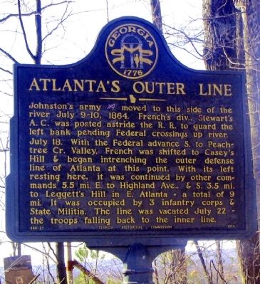
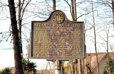
Atlanta's Outer Line
July 18. With the Federal advance S. to Peachtree Cr. Valley, French was shifted to Casey’s line of Atlanta at this point. With its left resting here, it was continued by other commands 5.5 mi. E. to Highland Ave., & S. 3.5 mi. to Leggett’s Hill in E. Atlanta -- a total of 9 mi. It was occupied by 3 infantry corps & State Militia. The line was vacated July 22 -- the troops falling back to the inner line.
Erected 1956 by Georgia Historical Commission. (Marker Number 060-87.)
Topics and series. This historical marker is listed in this topic list: War, US Civil. In addition, it is included in the Georgia Historical Society series list. A significant historical year for this entry is 1864.
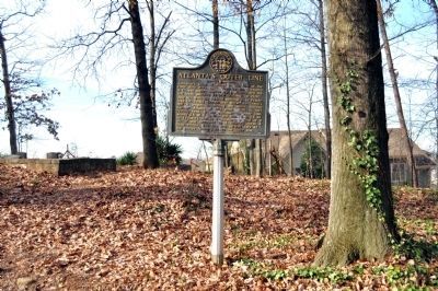
Location. 33° 48.528′ N, 84° 26.797′ W. Marker is in Atlanta, Georgia, in Fulton County. It is in Hills Park. Marker is on Old Marietta Road NW, 0.2 miles Marietta Road NW, on the left when traveling south. Casey's Hill, on which the marker is located, and the marker are at the very rear (west) of Crest Lawn Memorial Park (2000 Marietta Boulevard). Old Marietta Road and Maid Lane are closed off and accessible only through Crest Lawn. Touch for map. Marker is in this post office area: Atlanta GA 30318, United States of America. Touch for directions.
Other nearby markers. At least 8 other markers are within 2 miles of this marker, measured as the crow flies. Casey's Hill (about 500 feet away, measured in a direct line); Montgomery Cemetery (approx. 0.8 miles away); French's Line (approx. 0.9 miles away); Johnston’s Army Crossed the River (approx. 1.2 miles away); Disputed Passage (approx. 1.2 miles away); Moore's Mill (approx. 1.2 miles away); Battle at Moore’s Mill (approx. 1.2 miles away); Standing Peach Tree (approx. 1.4 miles away). Touch for a list and map of all markers in Atlanta.
Credits. This page was last revised on February 8, 2023. It was originally submitted on March 2, 2009, by David Seibert of Sandy Springs, Georgia. This page has been viewed 1,455 times since then and 24 times this year. Photos: 1. submitted on March 2, 2009, by David Seibert of Sandy Springs, Georgia. 2, 3. submitted on January 5, 2012, by David Seibert of Sandy Springs, Georgia. • Craig Swain was the editor who published this page.


