Susquehanna in Susquehanna County, Pennsylvania — The American Northeast (Mid-Atlantic)
Agriculture
Photographed by William Fischer, Jr., January 25, 2021
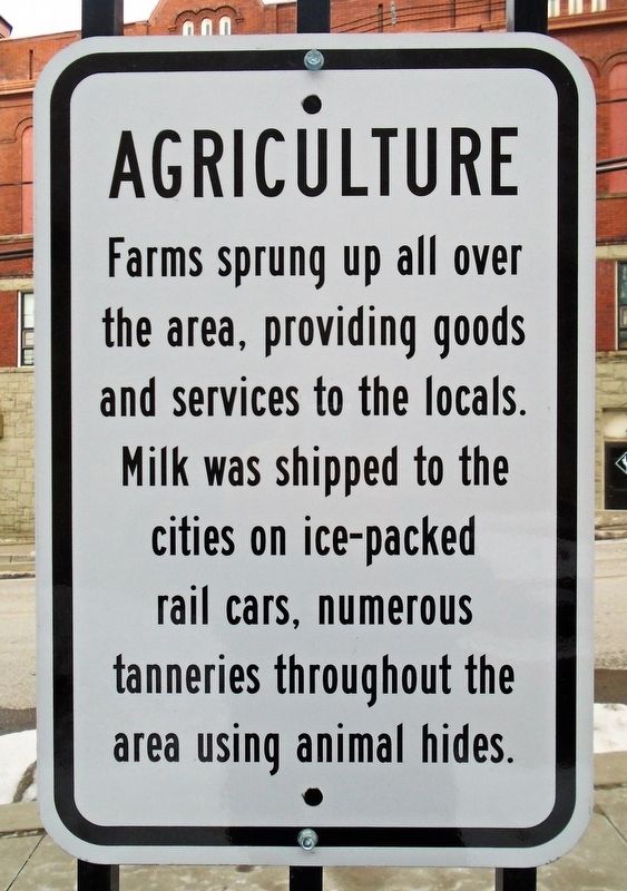
1. Agriculture Marker
goods and services to the locals. Milk was shipped
to the cities on ice-packed rail cars, numerous
tanneries throughout the area using animal hides.
Erected 2019 by Susquehanna Community Development Association.
Topics. This historical marker is listed in these topic lists: Agriculture • Industry & Commerce.
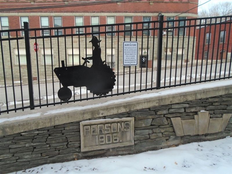
Location. 41° 56.754′ N, 75° 36.213′ W. Marker is in Susquehanna, Pennsylvania, in Susquehanna County. It is at the intersection of Franklin Avenue (Pennsylvania Route 92/171) and Main Street ( Route 171), on the right when traveling south on Franklin Avenue. Marker is in the "Pocket Park," former location of the Post Office/Persons' building. Touch for map. Marker is in this post office area: Susquehanna PA 18847, United States of America. Touch for directions.

Regionally, this marker is in Pennsylvania’s Wyoming Valley. It is also in the American Northeast, in the Mid-Atlantic, in Appalachia, and specifically in Northern Appalachia. Globally, it is in North America, the Western Hemisphere,
this page online
Other nearby markers. At least 8 other markers are within walking distance of this marker: Susquehannock People (here, next to this marker); Bluestone Mining (a few steps from this marker); Railroad (a few steps from this marker); Community Veteran's Service Board (within shouting distance of this marker); Veterans Memorial (within shouting distance of this marker); War Memorial (within shouting distance of this marker); Commemorating 300th Birthday of Pennsylvania (within shouting distance of this marker); Saint John the Evangelist Catholic Church (approx. 0.2 miles away). Touch for a list and map of all markers in Susquehanna.
Also see . . .
1. Ice Harvesting On Lake Henry (Happenings Magazine, 2020).
2. Tioga County - Tioga's tanneries Information.
Photographed by William Fischer, Jr., January 25, 2021
2. Agriculture Marker
Credits. This page was last revised on March 14, 2026. It was originally submitted on January 30, 2021, by William Fischer, Jr. of Reynoldsburg, Ohio. This page has been viewed 209 times since then and 14 times this year. Photos: 1, 2. submitted on January 30, 2021, by William Fischer, Jr. of Reynoldsburg, Ohio.
