Bald Head Island in Brunswick County, North Carolina — The American South (South Atlantic)
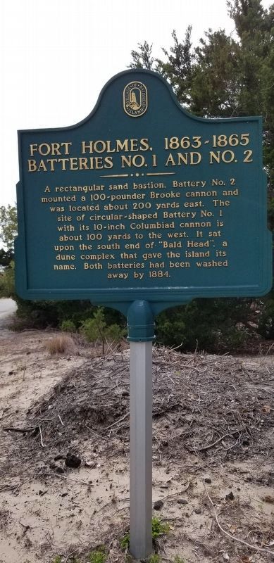
Fort Holmes, 1863-1865 Batteries No. 1 and No. 2
Inscription.
A rectangular sand bastion, Battery No. 2 mounted a 100-pounder Brooke Cannon and was located about 200 yards east. The site of circular-shaped Battery No. 1 with its 10-inch Columbiad cannon is about 100 yards to the west. It sat upon the south end of “Bald Head”, a dune complex that gave the island its name. Both batteries had been washed away by 1884.
Erected by Village of Bald Head Island.
Topics. This historical marker is listed in these topic lists: Forts and Castles • War, US Civil. A significant historical year for this entry is 1863.
Location. 33° 52.063′ N, 78° 0.33′ W. Marker is on Bald Head Island, North Carolina, in Brunswick County. Marker is at the intersection of West Bald Head Wynd and Cape Fear Trail, on the left when traveling south on West Bald Head Wynd. Touch for map. Marker is in this post office area: Southport NC 28461, United States of America. Touch for directions.
Other nearby markers. At least 8 other markers are within 3 miles of this marker, measured as the crow flies. Fort Holmes, 1863-1865 Battery Holmes (approx. ¼ mile away); Fort Holmes, 1863-1865 Battery No. 4 (approx. half a mile away); Guarding the Confederacy Lifeline (approx. half a mile away); Fort Holmes, 1863-1865 Encampment Site (approx. half a mile away); Revolutionary War Fort (approx. half a mile away); Confederate Blockade Runner Ella (approx. 0.6 miles away); Captain Charlie’s Station (approx. 2.7 miles away); Generator House (approx. 2.7 miles away). Touch for a list and map of all markers in Bald Head Island.
Credits. This page was last revised on January 31, 2021. It was originally submitted on March 31, 2018, by Charles Keller of Myrtle Beach, South Carolina. This page has been viewed 392 times since then and 37 times this year. Last updated on January 30, 2021, by Bradley Owen of Morgantown, West Virginia. Photo 1. submitted on March 31, 2018, by Charles Keller of Myrtle Beach, South Carolina. • Bernard Fisher was the editor who published this page.
Editor’s want-list for this marker. Wide shot of marker and its surroundings. • Can you help?
