Near Akeman Crossroad in Rhea County, Tennessee — The American South (East South Central)
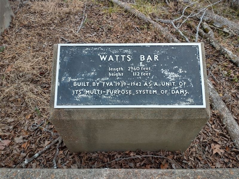
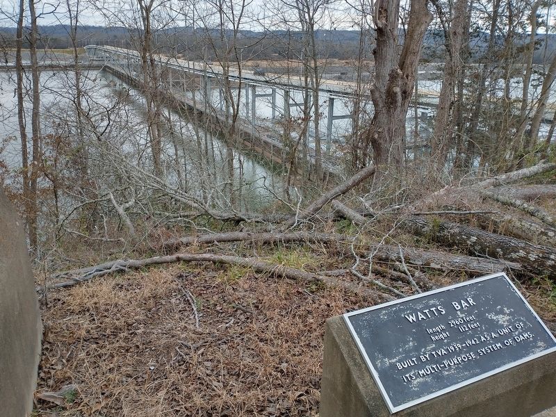
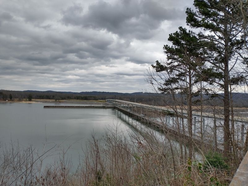
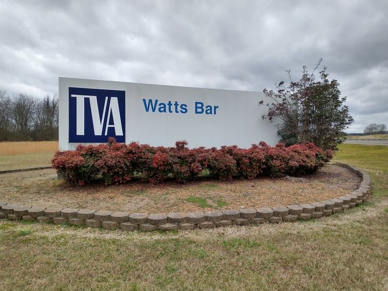
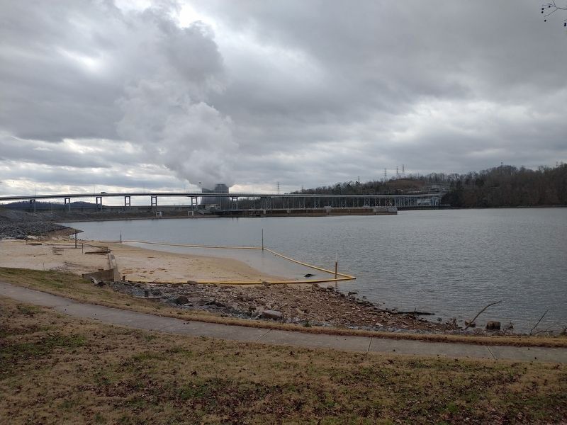
Watts Bar
length 2960 feet, height 112 feet
Erected by Tennessee Valley Authority.
Topics. This historical marker is listed in these topic lists: Charity & Public Work • Waterways & Vessels. A significant historical year for this entry is 1939.
Location. 35° 37.243′ N, 84° 47.117′ W. Marker is near Akeman Crossroad, Tennessee, in Rhea County. Marker can be reached from Watts Bar Highway (Tennessee Route 68) 0.8 miles east of Watts Bar Drive, on the right when traveling west. Touch for map. Marker is in this post office area: Spring City TN 37381, United States of America. Touch for directions.
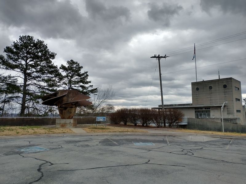
Other nearby markers. At least 8 other markers are within 9 miles of this marker, measured as the crow flies. Watts Bar Turbine (within shouting distance of this marker); The Rhea County Spartans (approx. 6.6 miles away); Hargus Melvin “Pig” Robbins (approx. 6.6 miles away); Meigs County War Memorial (approx. 7.3 miles away); Wheeler's Crossing (approx. 7.3 miles away); Decatur United Methodist Church (approx. 7.4 miles away); Washington Ferry (approx. 7.8 miles away); a different marker also named Washington Ferry (approx. 8.2 miles away).
Related markers. Click here for a list of markers that are related to this marker.
Credits. This page was last revised on February 2, 2021. It was originally submitted on January 31, 2021, by Tom Bosse of Jefferson City, Tennessee. This page has been viewed 164 times since then and 6 times this year. Photos: 1, 2, 3, 4, 5. submitted on January 31, 2021, by Tom Bosse of Jefferson City, Tennessee. 6. submitted on February 1, 2021, by Tom Bosse of Jefferson City, Tennessee. • Devry Becker Jones was the editor who published this page.
