Marker Logo HMdb.org THE HISTORICAL
MARKER DATABASE
“Bite-Size Bits of Local, National, and Global History”
Clinton in Anderson County, Tennessee — The American South (East South Central)
 

David Hall Cabin

Circa 1800


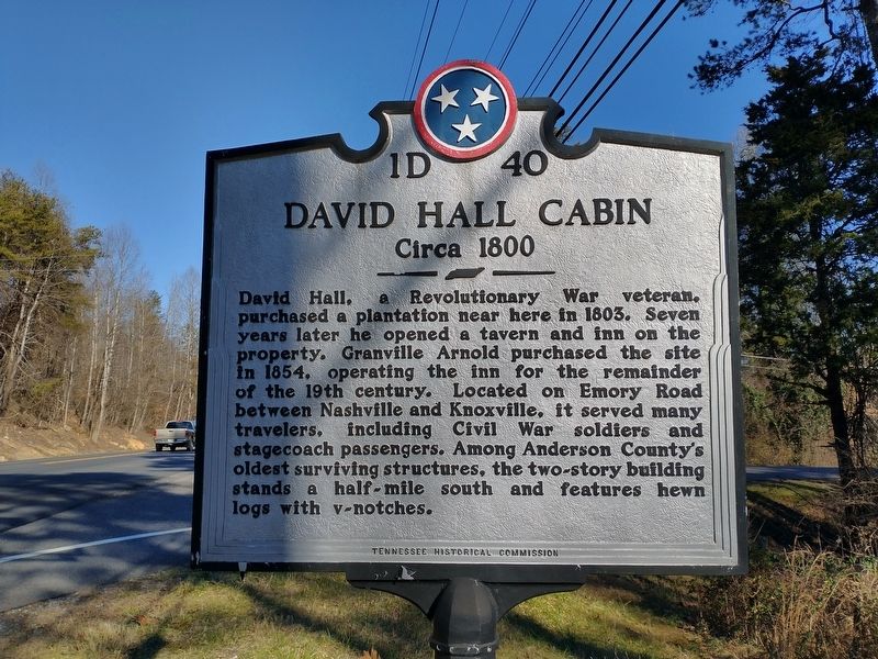
David Hall Cabin Marker image. Click for full size.
Photographed By Tom Bosse, January 23, 2021
1. David Hall Cabin Marker
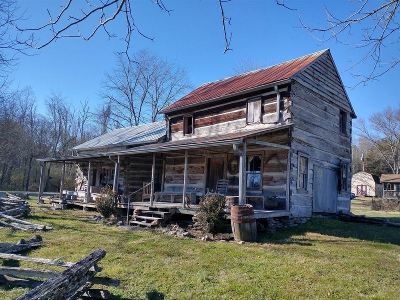
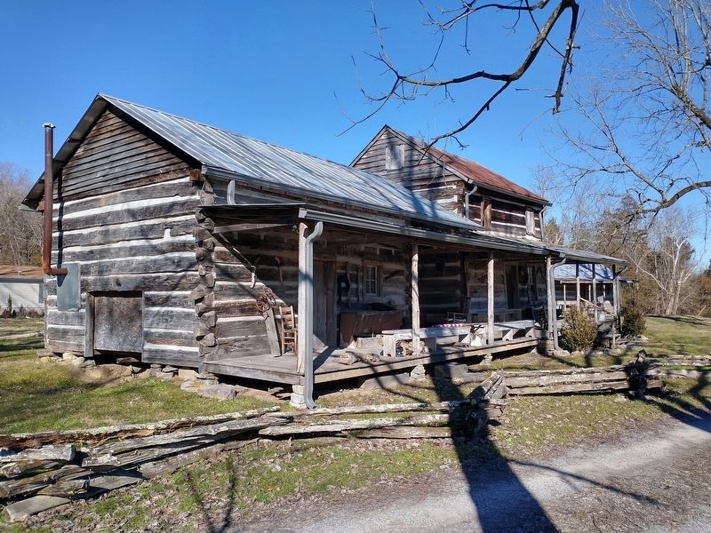
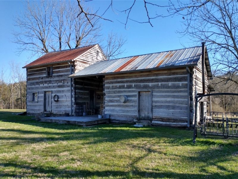
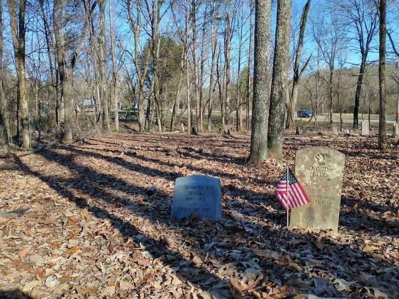
Inscription. David Hall, a revolutionary War veteran, purchased a plantation near here in 1803. Seven years later he opened a tavern and inn on the property. Granville Arnold purchased the site in 1854, operating the inn for the remainder of the 19th century. Located on Emory Road between Nashville and Knoxville, it served many travelers, including Civil War soldiers and stagecoach passengers. Among Anderson County's oldest surviving structures, the two-story building stands a half-mile south and features hewn logs with v-notches.
 
Erected by Tennessee Historical Commission. (Marker Number 1D 40.)
 
Topics and series. This historical marker is listed in these topic lists: Industry & CommerceSettlements & SettlersWar, US CivilWar, US Revolutionary. In addition, it is included in the Tennessee Historical Commission series list. A significant historical year for this entry is 1803.
 
Location. 36° 1.894′ N, 84° 8.509′ W. Marker is in Clinton, Tennessee, in Anderson County. Marker is at the intersection of Edgemoor Road (Tennessee Route 170) and New Henderson Road, on the right when traveling east on Edgemoor Road. Touch for map. Marker is at or near this postal address: 112 New Henderson Rd, Clinton TN 37716, United States of America. Touch for directions.
 
Other nearby markers. At least 8 other markers are within 5 miles of this marker, measured
Paid Advertisement
Click on the ad for more information.
Please report objectionable advertising to the Editor.
Click or scan to see
this page online
as the crow flies. Bull Run Steam Plant (approx. 1.2 miles away); The TVA System of Multi-Purpose Dams (approx. 1.2 miles away); The Anderson County Poor Farm (approx. 2.4 miles away); Elza Gate (approx. 3.8 miles away); Byington (approx. 4˝ miles away); Terrapin Hill (approx. 4.7 miles away); City of Clinton Field (approx. 4.7 miles away); Town Springs (approx. 4.7 miles away). Touch for a list and map of all markers in Clinton.
 
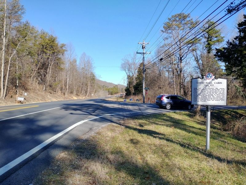
David Hall Cabin Marker image. Click for full size.
Photographed By Tom Bosse, January 23, 2021
2. David Hall Cabin Marker
David Hall Cabin image. Click for full size.
Photographed By Tom Bosse, January 23, 2021
3. David Hall Cabin
David Hall Cabin image. Click for full size.
Photographed By Tom Bosse, January 23, 2021
4. David Hall Cabin
David Hall Cabin (Back) image. Click for full size.
Photographed By Tom Bosse, January 23, 2021
5. David Hall Cabin (Back)
David Hall Gravesite image. Click for full size.
Photographed By Tom Bosse, January 23, 2021
6. David Hall Gravesite
 
 
Credits. This page was last revised on February 1, 2021. It was originally submitted on January 31, 2021, by Tom Bosse of Jefferson City, Tennessee. This page has been viewed 628 times since then and 67 times this year. Photos:   1, 2, 3, 4, 5, 6. submitted on January 31, 2021, by Tom Bosse of Jefferson City, Tennessee. • Devry Becker Jones was the editor who published this page.
Share this page.  
Share on Tumblr
m=165936

CeraNet Cloud Computing sponsors the Historical Marker Database.
This website earns income from purchases you make after using our links to Amazon.com. We appreciate your support.
Paid Advertisement
Apr. 25, 2024