North Virginia Beach , Virginia — The American South (Mid-Atlantic)
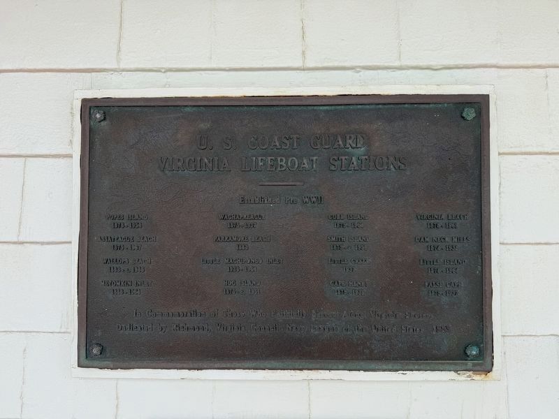
U.S. Coast Guard Virginia Lifeboat Stations
Photographed by Devry Becker Jones (CC0), June 11, 2025
1. U.S. Coast Guard Virginia Lifeboat Stations Marker
Popes Island, 1878 - 1954
Assateague Beach, 1875 - 1967
Wallops Beach, 1863 - c. 1946
Metomkin Inlet, 1888 - 1964
Wachapreague, 1875 - 1937
Parramore Beach, 1883
Little Machipongo Inlet, 1936 - 1954
Hog Island, 1875 - c. 1951
Cobb Island, 1875 - 1964
Smith Island, 1875 - c. 1958
Little Creek, 1937
Cape Henry, 1875 - 1939
Virginia Beach, 1878 - 1969
Dam Neck Mills, 1874 - 1938
Little Island, 1878 - 1964
False Cape, 1875 - 1937
Erected 1983 by Dedicated by Richmond, Virginia Council, Navy League of the United States.
Topics. This memorial is listed in these topic lists: Charity & Public Work • Military • Waterways & Vessels. A significant historical year for this entry is 1878.
Location. 36° 51.138′ N, 75° 58.53′ W. Memorial is in Virginia Beach, Virginia. It is in North Virginia Beach. It is on Virginia Beach Boardwalk just south of 24th Street, on the right when traveling south. Touch for map. Memorial is at or near this postal address: 2401 Atlantic Ave, Virginia Beach VA 23451, United States
this page online

Regionally, this memorial is in Hampton Roads, specifically in Coastal Virginia, and in the Hampton Roads Metropolitan Area. It is also in the American South, specifically in the Upper South, in the Tidewater, and on the Eastern Seaboard. Globally, it is in the North Atlantic Region, North America, the Western Hemisphere, the Western World, and the Anglosphere. Historically, it finds itself in what was once the territory of the Mississippian Culture, one of the original Thirteen Colonies, one of the Confederate States of America, and the Antebellum South.
Other nearby markers. At least 8 other markers are within walking distance of this marker: The United States Life-Saving Service Stations & Crews (here, next to this marker); Replica Race Point Surfboat (here, next to this marker); The Life-Saving Station (a few steps from this marker); Ship's Wheel / Stockless Anchor (a few steps from this marker); U-boats Off the Mid-Atlantic Coast (a few steps from this marker); Who's in the neighborhood? (a few steps from this marker); Neighborhood Alert! (a few steps from this marker); Pre-1800 Wooden Stock Anchor / Stockless Anchor
Photographed by Devry Becker Jones (CC0), January 30, 2021
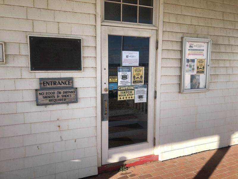
2. U.S. Coast Guard Virginia Lifeboat Stations Marker
Another marker is no longer nearby. Outer planking from a vessel (was a few steps from this marker but has been replaced with another marker now near it).
Photographed by Devry Becker Jones (CC0), June 11, 2025
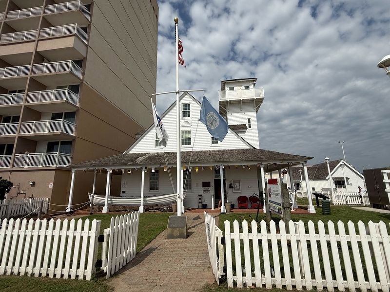
3. The former station along the boardwalk in Virginia Beach
Credits. This page was last revised on June 20, 2025. It was originally submitted on January 31, 2021, by Devry Becker Jones of Washington, District of Columbia. This page has been viewed 389 times since then and 31 times this year. Photos: 1. submitted on June 20, 2025, by Devry Becker Jones of Washington, District of Columbia. 2. submitted on January 31, 2021, by Devry Becker Jones of Washington, District of Columbia. 3. submitted on June 20, 2025, by Devry Becker Jones of Washington, District of Columbia.
