Franklin in Williamson County, Tennessee — The American South (East South Central)
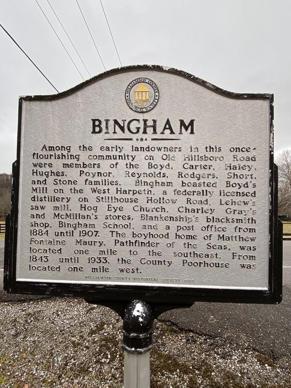
Bingham
Erected 1997 by Williamson County Historical Society.
Topics and series. This historical marker is listed in these topic lists: Industry & Commerce • Settlements & Settlers. In addition, it is included in the Tennessee – Williamson County Historical Society series list. A significant historical year for this entry is 1884.
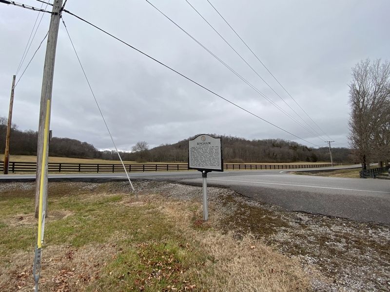
Location. 35° 55.525′ N, 86° 58.279′ W. Marker is in Franklin, Tennessee, in Williamson County. Marker is at the intersection of Boyd Mill Pike and Old Hillsboro Road (Tennessee Route 46), on the right when traveling east on Boyd Mill Pike. Touch for map. Marker is at or near this postal address: 3351 Boyd Mill Pike, Franklin TN 37064, United States of America. Touch for directions.
Other nearby markers. At least 8 other markers are within 3 miles of this marker, measured as the crow flies. William Irby Boyd Homestead ca. 1807 (approx. ¼ mile away); Boyd's Mill (approx. 0.3 miles away); Franklin-Hillsboro Turnpike / Franklin's Water Supply (approx. 2 miles away); Glass Mounds Archaeological Site (approx. 2.2 miles away); Leiper's Fork (approx. 2.3 miles away); Bank of Leiper's Fork / Hillsboro Methodist Church (approx. 2½ miles away); Boyd Mill Pike / Franklin-South Harpeth Turnpike (approx. 2.6 miles away); Leiper's Fork Church of Christ (approx. 2.6 miles away). Touch for a list and map of all markers in Franklin.
Credits. This page was last revised on February 2, 2021. It was originally submitted on January 31, 2021, by Darren Jefferson Clay of Duluth, Georgia. This page has been viewed 586 times since then and 54 times this year. Photos: 1, 2. submitted on January 31, 2021, by Darren Jefferson Clay of Duluth, Georgia. • Devry Becker Jones was the editor who published this page.

