Paterson in Passaic County, New Jersey — The American Northeast (Mid-Atlantic)
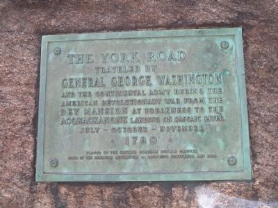
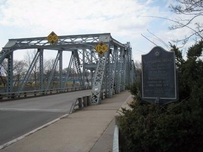
The York Road
General George Washington
and the Continental Army during the American Revolutionary War from the
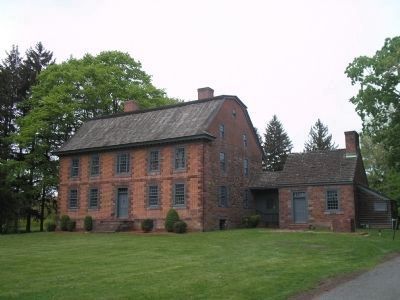
Dey Mansion at Preakness to the
Acquackanonk Landing on Passaic River
July - October - November
• 1780 •
Placed by the Captain Abraham Goodwin Chapter
Sons of the American Revolution -
Lafayette Centennial May 1934
Erected 1934 by Sons of the American Revolution, Captain Abraham Goodwin Chapter.
Topics and series. This historical marker is listed in these topic lists: Roads & Vehicles • War, US Revolutionary. In addition, it is included in the Sons of the American Revolution (SAR) series list. A significant historical month for this entry is May 1934.
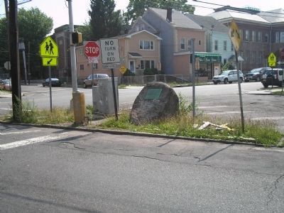
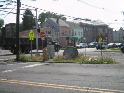
Location. 40° 54.395′ N, 74° 8.422′ W. Marker is in Paterson, New Jersey, in Passaic County. Marker is at the intersection of Vreeland Avenue (County Route 651) and 20th Avenue, on the left when traveling north on Vreeland Avenue. The marker is on a triangular piece of land at Vreeland and 20th Avenue. Touch for map. Marker is in this post office area: Paterson NJ 07504, United States of America. Touch for directions.
Other nearby markers. At least 8 other markers are within 2 miles of this marker, measured as the crow flies. Simeon Van Winkles (approx. half a mile away); Pulaski (approx. 0.7 miles away); Passaic County Soldiers and Sailors Monument (approx. 0.7 miles away); Abraham Godwin (approx. 0.7 miles away); Curie (approx. 0.7 miles away); Morlot Ave - 33rd St. Bridge Over the Passaic River (approx. 1.2 miles away); Van Houten-Hillman House (approx. 1.3 miles away); In Memory of Fair Lawn Police Officer Mary Ann Collura (approx. 1½ miles away). Touch for a list and map of all markers in Paterson.
Credits. This page was last revised on February 3, 2021. It was originally submitted on July 16, 2010, by Bill Coughlin of Woodland Park, New Jersey. This page has been viewed 1,187 times since then and 18 times this year. Last updated on January 31, 2021, by Carl Gordon Moore Jr. of North East, Maryland. Photos: 1, 2, 3, 4, 5. submitted on July 16, 2010, by Bill Coughlin of Woodland Park, New Jersey. • Bill Pfingsten was the editor who published this page.
