Miamisburg in Montgomery County, Ohio — The American Midwest (Great Lakes)
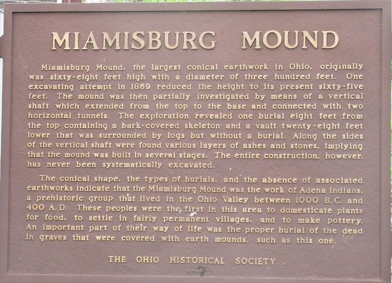
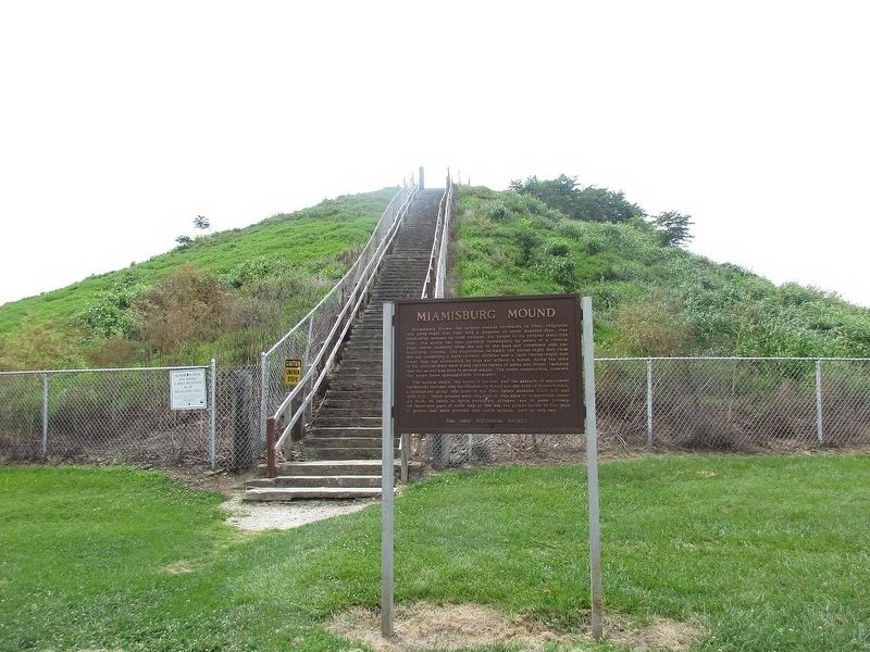
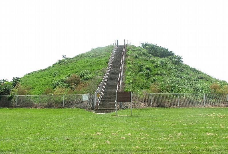
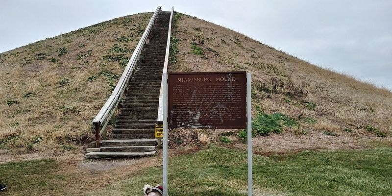
Miamisburg Mound
Photographed by Rev. Ronald Irick, July 18, 2017
1. Miamisburg Mound Marker
The conical shape, the type of burials, and the absence of associate earthworks indicate that the Miamisburg Mound was the work of Adena Indians, a prehistoric group that lived in the Ohio valley between 1000 B.C. and 400 A.D. These people were the first in this area to domesticate plants for food, to settle in fairly permanent villages, and to make pottery. An important
this page online
Erected by The Ohio Historical Society.
Topics. This historical marker is listed in these topic lists: Anthropology & Archaeology • Cemeteries & Burial Sites • Paleontology.
Location. 39° 37.658′ N, 84° 16.821′ W. Marker is in Miamisburg, Ohio, in Montgomery County. It is on Mound Rd near Enterprise Ct., on the left when traveling south. Touch for map. Marker is at or near this postal address: 695 Mound Rd, Miamisburg OH 45342, United States of America. Touch for directions.

Regionally, this marker is in the Dayton Metro and in the Miami Valley. It is also in the American Midwest and in the Corn Belt. Globally, it is in North America, the Western Hemisphere, the Western World, and the Anglosphere. Historically, it finds itself in what was once the Haudenosaunee (Iroquois) Confederacy, the territory of the Mississippian Culture, and the Northwest Territory.
Other nearby markers. At least 8 other markers are within walking distance
Photographed by Rev. Ronald Irick, July 18, 2017
2. Miamisburg Mound Marker
Photographed by Rev. Ronald Irick, July 18, 2017
3. Miamisburg Mound Marker
Marker can be seen at a distance, on the east side of the mound
Photographed by Craig Doda, January 6, 2021
4. Miamisburg Mound Marker
Photographed by Rev. Ronald Irick, July 18, 2017
5. Miamisburg Mound Marker
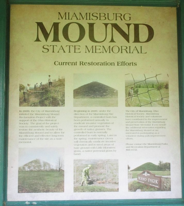
A poster in the adjacent shelter
Photographed by Rev. Ronald Irick, July 18, 2017
6. Miamisburg Mound Marker
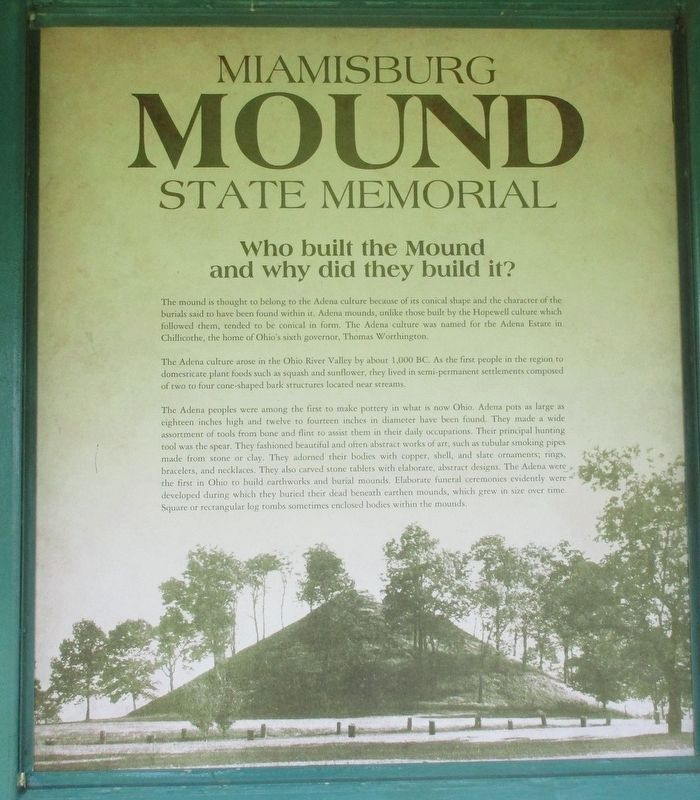
Another poster, there are six total
Credits. This page was last revised on February 6, 2023. It was originally submitted on July 20, 2017, by Rev. Ronald Irick of West Liberty, Ohio. This page has been viewed 931 times since then and 98 times this year. Last updated on February 1, 2021, by Craig Doda of Napoleon, Ohio. Photos: 1, 2, 3. submitted on July 20, 2017, by Rev. Ronald Irick of West Liberty, Ohio. 4. submitted on February 5, 2023, by Craig Doda of Napoleon, Ohio. 5, 6. submitted on July 20, 2017, by Rev. Ronald Irick of West Liberty, Ohio. • Bill Pfingsten was the editor who published this page.
