South Trenton in Mercer County, New Jersey — The American Northeast (Mid-Atlantic)
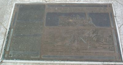
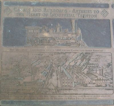
Canals and Railroads – Arteries to the Heart of Industrial Trenton
Inscription.
As the United States began to feel the full force of the Industrial Revolution and expand its own manufacturing and commercial base, cities like Trenton that were blessed with an advantageous location were in the forefront of transportation developments. By the 1830s and 1840s, Trenton was fast emerging as an important node in the regional canal and rail system. Both the Delaware and Raritan Canal and the Camden and Amboy Railroad were chartered by the New Jersey legislature on the same day, February 4, 1830. The two projects combined forces a year later as the Joint Companies, and then exercised a monopoly over all southwest-northeast regional transportation between Philadelphia and New York for the next 30 years. In the meantime, the Delaware Canal was built between 1827 and 1834 along the Pennsylvania bank of the Delaware River chiefly to ship coal from the Lehigh Valley downstream to Philadelphia and other towns in the Lower Delaware.
The Delaware and Raritan Canal, completed in 1834 between Bordentown on the Delaware River and New Brunswick on the Raritan, was used chiefly for transportation. It played a critical role in the pottery and iron and steel industries as a means of shipping in raw materials like clay, semi-processed iron and coal and shipping out finished products. A separate canal, the seven-mile long Trenton Water Power, also completed in 1834, was built to supply hydropower to many of the city’s industries. The peak usage of the Delaware and Raritan Canal and the Trenton Water Power occurred in the 1860s and 1870s. By the 1930s, both waterways had long outlived their original purpose and were being filled in or put to other uses.
The original main line of the Camden and Amboy Railroad, opened in 1833-34, bypassed Trenton, but within five years a branch line had been built through the city running alongside the Delaware and Raritan Canal. The Belvidere Delaware Railroad, an important downriver coal-carrying route, opened between Trenton and Lambertville in 1851 and was extended to Belvidere in 1855. When the Joint Companies monopoly expired in the early 1860s other rail lines soon coursed through Trenton, including the Delaware and Bound Brook in 1876 and the East Trenton Railroad in 1884. The Camden and Amboy Railroad was absorbed into the Pennsylvania Railroad in 1871 and much of its network still survives today, including sections now forming part of the Southern New Jersey Light Rail Transit System.
Links to learn more – Delaware and Raritan Canal State Park, New Jersey; New Jersey Railroad & Transportation Heritage Museum, Philipsburg, New Jersey
Erected 2004 by New Jersey Department of Transportation.
Topics and series.
This historical marker is listed in these topic lists: Railroads & Streetcars • Waterways & Vessels. In addition, it is included in the Delaware Canal (AKA Delaware Division of the Pennsylvania Canal), and the Pennsylvania Railroad (PRR) series lists. A significant historical month for this entry is February 1772.
Location. 40° 11.914′ N, 74° 45.507′ W. Marker is in Trenton, New Jersey, in Mercer County. It is in South Trenton. Marker can be reached from New Jersey Route 29. This marker is part of South River Walk Park which is built over Route 29. Touch for map. Marker is in this post office area: Trenton NJ 08611, United States of America. Touch for directions.
Other nearby markers. At least 8 other markers are within walking distance of this marker. Cooper & Hewitt ….. Iron & Steel (here, next to this marker); Roebling …… Wire Rope and American Bridges (here, next to this marker); From Teacups to Toilets (here, next to this marker); 1750 (here, next to this marker); 1776 (here, next to this marker); 1777 (here, next to this marker); 1784 (here, next to this marker); 1778 (here, next to this marker). Touch for a list and map of all markers in Trenton.
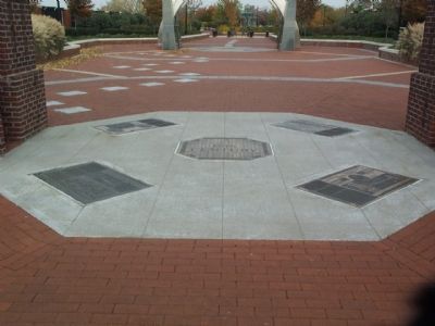
More about this marker. This is one of four subject markers under the 19th Century Arch.
Credits. This page was last revised on February 16, 2023. It was originally submitted on December 18, 2007, by Gary Nigh of Trenton, New Jersey. This page has been viewed 1,511 times since then and 15 times this year. Last updated on February 3, 2021, by Carl Gordon Moore Jr. of North East, Maryland. Photos: 1, 2, 3. submitted on December 18, 2007, by Gary Nigh of Trenton, New Jersey. • Bill Pfingsten was the editor who published this page.


