Williamsburg, Virginia — The American South (Mid-Atlantic)
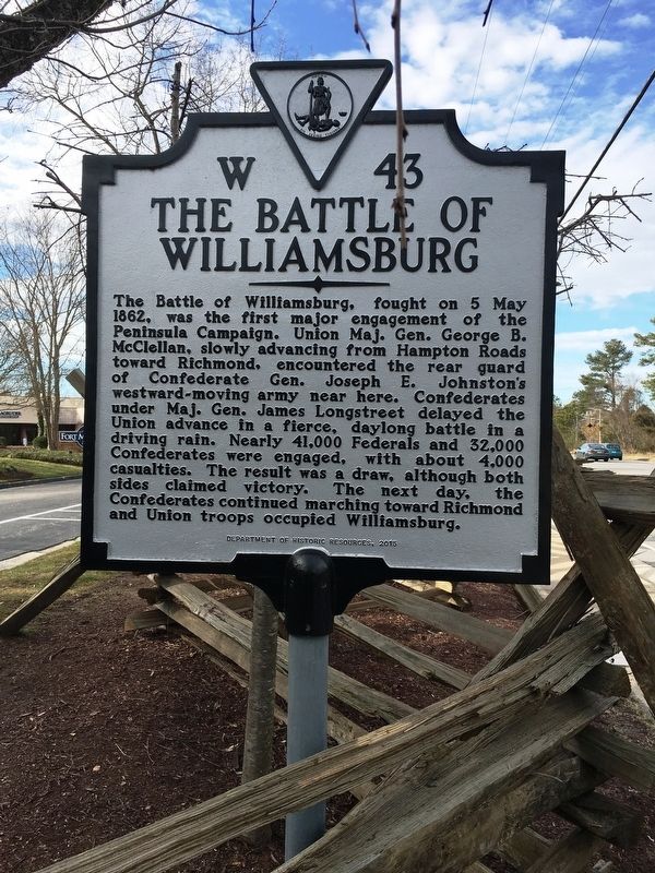
The Battle of Williamsburg
Erected 2015 by Department of Historic Resources. (Marker Number W-43.)
Topics and series. This historical marker is listed in this topic list: War, US Civil. In addition, it is included in the Virginia Department of Historic Resources (DHR) series list. A significant historical date for this entry is May 5, 1862.
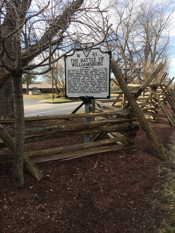
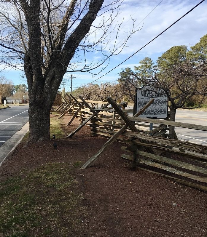
Location. 37° 15.856′ N, 76° 40.735′ W. Marker is in Williamsburg, Virginia. Marker is at the intersection of Pocahontas Trail (U.S. 60) and Avon Avenue, on the right when traveling east on Pocahontas Trail. Touch for map. Marker is at or near this postal address: 6945 Pocahontas Trail, Williamsburg VA 23185, United States of America. Touch for directions.
Other nearby markers. At least 8 other markers are within walking distance of this marker. Peninsula Campaign (a few steps from this marker); Quarterpath Road (within shouting distance of this marker); History of Fort Magruder (about 500 feet away, measured in a direct line); Magruder’s Defenses (approx. 0.3 miles away); a different marker also named Battle of Williamsburg (approx. 0.4 miles away); Redoubt 2 (approx. half a mile away); a different marker also named Battle of Williamsburg (approx. half a mile away); Vineyard Tract (approx. 0.6 miles away). Touch for a list and map of all markers in Williamsburg.
Also see . . . Old marker near this location. This marker replaces an older W-43 marker named "Battle of Williamsburg" (Submitted on February 27, 2019.)
Credits. This page was last revised on February 6, 2021. It was originally submitted on February 27, 2019, by Brandon D Cross of Flagler Beach, Florida. This page has been viewed 426 times since then and 39 times this year. Last updated on February 6, 2021, by Carl Gordon Moore Jr. of North East, Maryland. Photos: 1, 2, 3. submitted on February 27, 2019, by Brandon D Cross of Flagler Beach, Florida. • Bernard Fisher was the editor who published this page.


