Encino in Brooks County, Texas — The American South (West South Central)
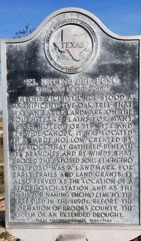
El Encino del Poso
(The Oak in the Hole)
In this vicinity once stood a magnificent Live Oak tree that was an early landmark on the South Texas plains for many years. Noted for its size and its wide canopy, it was located in a large hollow created by livestock that gathered beneath its branches and by winds that eroded the exposed soil. El Encino del Poso was a landmark for early trails and land grants. It also served as the location of a stagecoach station and as the basis for naming Encino (1 mi. N). The tree died in the 1890s, before the formation of Brooks County, the victim of an extended drought.
Texas Sesquicentennial 1836-1986
Erected 1986 by Texas Historical Commission. (Marker Number 1414.)
Topics. This historical marker is listed in these topic lists: Horticulture & Forestry • Roads & Vehicles • Settlements & Settlers.
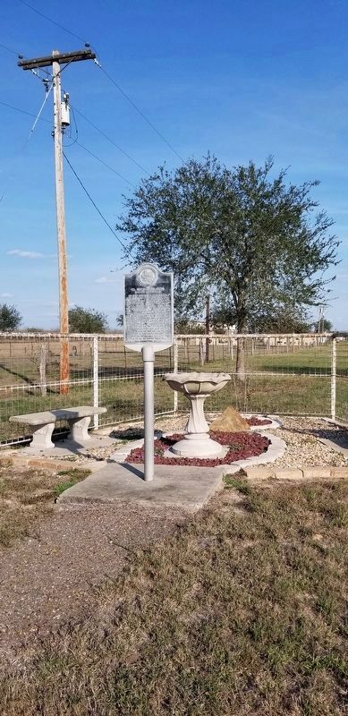
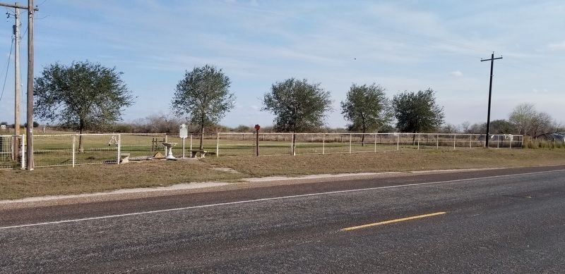
Location. 26° 55.53′ N, 98° 8.09′ W. Marker is in Encino, Texas, in Brooks County. Marker is on Business U.S. 281, 0.7 miles south of Lucero Street (County Highway 305), on the left when traveling south. Touch for map. Marker is in this post office area: Encino TX 78353, United States of America. Touch for directions.
Other nearby markers. At least 1 other marker is within 12 miles of this marker, measured as the crow flies. Brooks County (approx. 11.7 miles away).
Credits. This page was last revised on February 6, 2021. It was originally submitted on February 6, 2021, by James Hulse of Medina, Texas. This page has been viewed 175 times since then and 20 times this year. Photos: 1, 2, 3. submitted on February 6, 2021, by James Hulse of Medina, Texas. • J. Makali Bruton was the editor who published this page.


