Brentwood in Williamson County, Tennessee — The American South (East South Central)
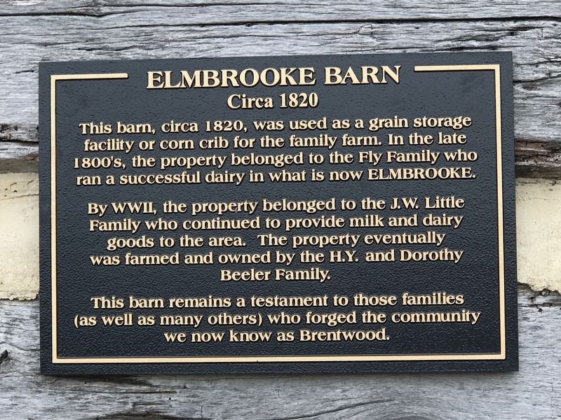
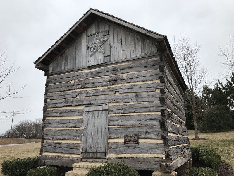
Elmbrooke Barn
Circa 1820
Photographed by Duane and Tracy Marsteller, February 6, 2021
1. Elmbrooke Barn Marker
By WWII, the property belonged to the J.W. Little Family who continued to provide milk and dairy goods to the area. The property eventually was farmed and owned by the H.Y. and Dorothy Beeler Family.
This barn remains a testament to those families (as well as many others) who forged the community we now know as Brentwood.
Topics. This historical marker is listed in these topic lists: Agriculture • Industry & Commerce • Settlements & Settlers. A significant historical year for this entry is 1820.
Location. 35° 59.382′ N, 86° 44.708′ W. Marker is in Brentwood, Tennessee, in Williamson County. It is at the intersection of Elmbrooke Boulevard and Concord Road (Tennessee Route 253), on the right when traveling north on Elmbrooke Boulevard. Touch for map. Marker is in this post office area: Brentwood TN 37027, United States of America. Touch for directions.

Regionally, this marker is in Middle Tennessee and in
this page online
Other nearby markers. At least 8 other markers are within 2 miles of this marker, measured as the crow flies: Green Hill (approx. 0.4 miles away); Hunt-Little Cemetery (approx. 0.4 miles away); Green Hill Shrine (approx. half a mile away); Green Hill & Cannon Farm (approx. half a mile away); Edmondson - Little Spring House (approx. 1.1 miles away); Cool Springs House (approx. 1½ miles away); Alexander Smith House Twenty-Four Trees (approx. 1.8 miles away); Forge Seat (approx. 1.9 miles away). Touch for a list and map of all markers in Brentwood.
Photographed by Duane and Tracy Marsteller, February 6, 2021
2. Elmbrooke Barn Marker
Credits. This page was last revised on February 6, 2021. It was originally submitted on February 6, 2021, by Duane and Tracy Marsteller of Murfreesboro, Tennessee. This page has been viewed 616 times since then and 55 times this year. Photos: 1, 2. submitted on February 6, 2021, by Duane and Tracy Marsteller of Murfreesboro, Tennessee.
