Briarfield in Hampton, Virginia — The American South (Mid-Atlantic)
The Beginnings of Aberdeen Gardens
"Subsistence Housing"
| — | Explore Hampton 2010: From the Sea to the Stars | — |
Photographed by Devry Becker Jones (CC0), February 6, 2021
1. The Beginnings of Aberdeen Gardens Marker
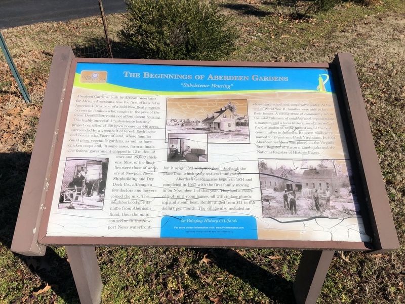
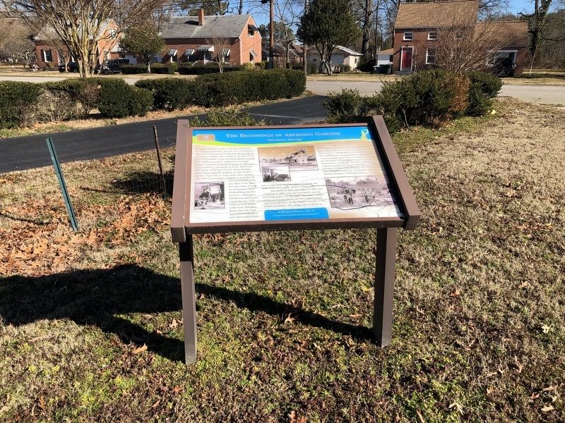
Aberdeen Gardens, built by African Americans for African Americans, was the first of its kind in America. It was part of a bold New Deal program to resettle families who, caught in the jaws of the Great Depression, could not afford decent housing. This highly successful "subsistence housing" project consisted of 158 brick homes on 440 acres, surrounded by a greenbelt of forest. Each home had nearly a half acre of land, where families could plant vegetable gardens, as well as have chicken coops and, in some cases, farm animals. The federal government chipped in 12 mules, 12 cows and 25,000 chickens. Most of the families were those of workers at Newport News Shipbuilding and Dry Dock Co., although a few doctors and lawyers joined the mix. The neighborhood got its name from Aberdeen Road, then the main connector to the Newport News waterfront, but it originated with Aberdeen, Scotland, the place from which early settlers immigrated.
Aberdeen Gardens was begun in 1934 and completed in 1937, with the first family moving in on November 1 of that year. They had a choice of 3-, 4- or 5-room homes, all with indoor plumbing
this page online
Erected 2010 by Hampton Convention & Visitor Bureau.
Topics. This historical marker is listed in these topic lists: Agriculture • Industry & Commerce • Settlements & Settlers. A significant historical date for this entry is November 1, 1934.
Location. 37° 1.971′ N, 76° 24.505′ W. Marker is in Hampton, Virginia. It is in Briarfield. It can be reached from North Mary Peake Boulevard 0.2 miles south of West Walker Road, on the right when traveling south. Touch for map. Marker is at or near this postal address: 57 N Mary Peake Blvd, Hampton VA
Photographed by Devry Becker Jones (CC0), February 6, 2021
2. The Beginnings of Aberdeen Gardens Marker

Regionally, this marker is on Virginia’s Peninsula and in Coastal Virginia. It is also in the American South, specifically in the Upper South, in the Tidewater, and on the Eastern Seaboard. Globally, it is in the North Atlantic Region, North America, the Western Hemisphere, the Western World, and the Anglosphere. Historically, it finds itself in what was once the territory of the Mississippian Culture, one of the original Thirteen Colonies, one of the Confederate States of America, and the Antebellum South.
Other nearby markers. At least 8 other markers are within 3 miles of this marker, measured as the crow flies: Aberdeen Elementary School (a few steps from this marker); Once Hampton Institute's Farm (within shouting distance of this marker); The Todd Farmhouse (within shouting distance of this marker); The Original Cooperative Center (within shouting distance of this marker); Aberdeen Gardens (about 800 feet away, measured in a direct line); Tucker's Cemetery (approx. 0.6 miles away); Deaf and Blind School (approx. 2.2 miles away); George W. Carver High School (approx. 2.2 miles away). Touch for a list and map of all markers in Hampton.
Credits. This page was last revised on February 1, 2023. It was originally submitted on February 7, 2021, by Devry Becker Jones of Washington, District of Columbia. This page has been viewed 499 times since then and 25 times this year. Photos: 1, 2. submitted on February 7, 2021, by Devry Becker Jones of Washington, District of Columbia.
