Downtown in Hampton, Virginia — The American South (Mid-Atlantic)
Historic St. John's Episcopal Church
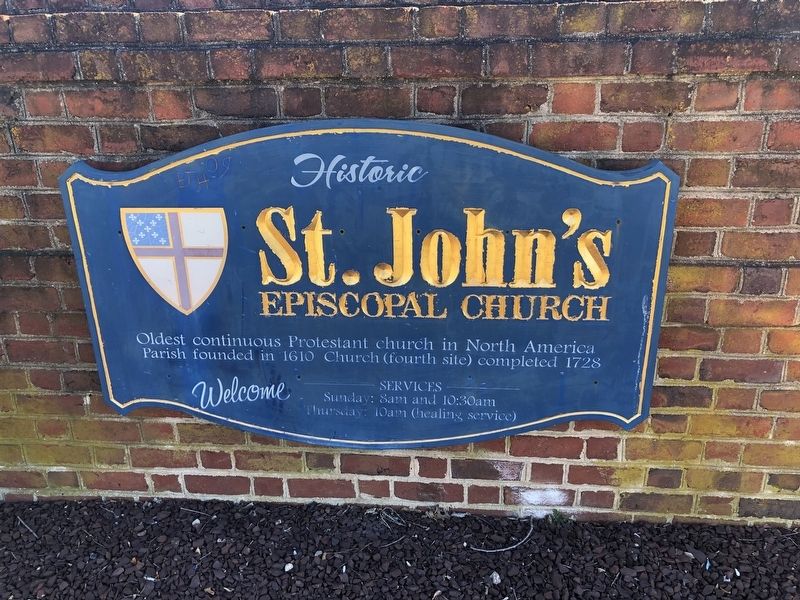
Photographed by Devry Becker Jones (CC0), February 6, 2021
1. Historic St. John's Episcopal Church Marker
Erected by St. John's Episcopal Church.
Topics. This historical marker is listed in these topic lists: Colonial Era • Religion & Religious Structures. A significant historical year for this entry is 1610.
Location. 37° 1.652′ N, 76° 20.86′ W. Marker is in Hampton, Virginia. It is in Downtown. It is at the intersection of Lincoln Street and Franklin Street, on the right when traveling east on Lincoln Street. Touch for map. Marker is at or near this postal address: 61 Lincoln St, Hampton VA 23669, United States of America. Touch for directions.

Regionally, this marker is on Virginia’s Peninsula and in Coastal Virginia. It is also in the American South, specifically in the Upper South, in the Tidewater, and on the Eastern Seaboard. Globally, it is in the North Atlantic Region, North America, the Western Hemisphere, the Western World, and the Anglosphere. Historically, it finds itself in what was once the territory of the Mississippian Culture, one of the original Thirteen Colonies, one
this page online
Other nearby markers. At least 8 other markers are within walking distance of this marker: Grand Contraband Camp (about 600 feet away, measured in a direct line); Hannah Nicholson Tunnell (about 600 feet away); Black Business (about 600 feet away); Virginia Laydon (about 600 feet away); Elizabeth City Parish (about 700 feet away); Hampton Confederate Monument (about 700 feet away); St. John’s Church (about 700 feet away); a different marker also named St. John's Church (about 700 feet away). Touch for a list and map of all markers in Hampton.
Photographed by Devry Becker Jones (CC0), February 6, 2021
2. Historic St. John's Episcopal Church Marker
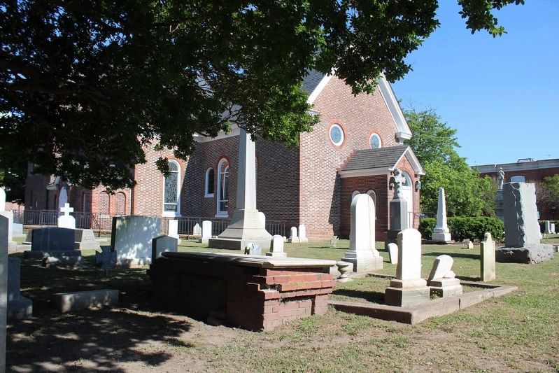
Photographed by Evan Dwyer, April 21, 2026
3. Historic St. John's Episcopal Church
Only the walls of the church survived the burning of Hampton in 1861.
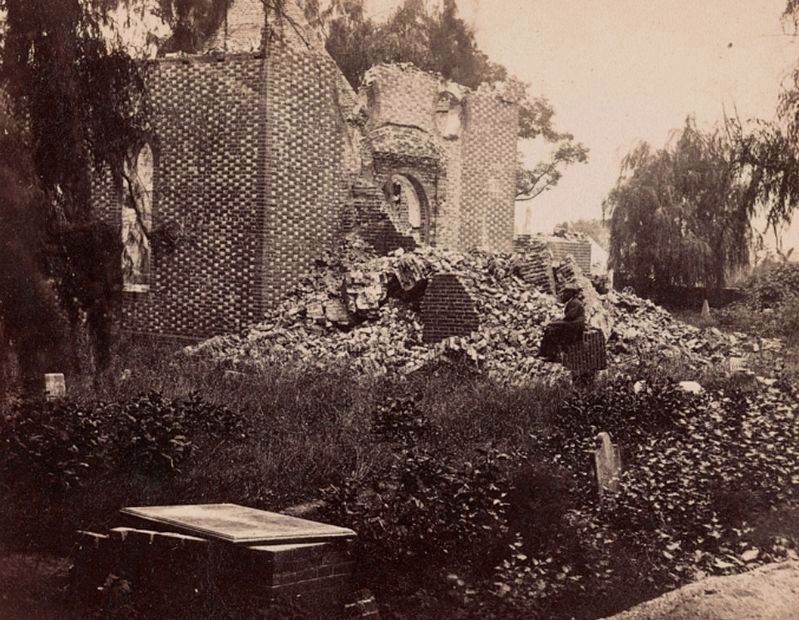
Photographed by Matthew Brady, 1862
4. Ruins of St. John's, ca. 1862
This view is from a similar angle as the modern photograph preceding it on this page. Note the two circular windows at the top of the ruin; these features are still part of St. John's west facade.
Credits. This page was last revised on July 9, 2026. It was originally submitted on February 7, 2021, by Devry Becker Jones of Washington, District of Columbia. This page has been viewed 386 times since then and 37 times this year. Photos: 1, 2. submitted on February 7, 2021, by Devry Becker Jones of Washington, District of Columbia. 3, 4. submitted on June 15, 2026, by Evan Dwyer of Richmond, Virginia.
