Hesperia in San Bernardino County, California — The American West (Pacific Coastal)
Hesperia Hotel Granite Stones
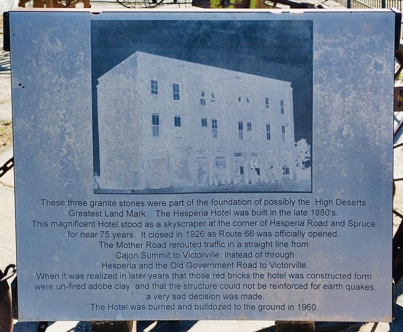
Photographed by Craig Baker, February 7, 2021
1. Hesperia Hotel Marker
Topics. This historical marker is listed in these topic lists: Architecture • Roads & Vehicles • Settlements & Settlers. A significant historical year for this entry is 1926.
Location. 34° 25.317′ N, 117° 18.359′ W. Marker is in Hesperia, California, in San Bernardino County. It is on Main Street just east of 3rd Avenue, on the right when traveling east. Located at the Harrison Exhibit
this page online

Regionally, this marker is in Greater Los Angeles, in the Peninsular Ranges, and specifically in the Transverse Ranges. It is also in the American Southwest. Globally, it is in North America, on the Ring of Fire, on the Pacific Rim, in the Western Hemisphere, in the Western World, and in the Anglosphere. Historically, it finds itself in what was once New Spain and also Mexico’s Alta California.
Other nearby markers. At least 8 other markers are within 4 miles of this marker, measured as the crow flies: Walters Store & House (approx. ¼ mile away); Hesperia Hotel (approx. 0.3 miles away); Hesperia Train Station (approx. 0.3 miles away); John Brown Road Crossing (approx. 0.4 miles away); Old School House (approx. half a mile away); Original Water Supply Ditch (approx. 0.9 miles away); Original Hesperia Beginnings (approx. 2.4 miles away); Holcomb Valley Road (approx. 3.2 miles away). Touch for a list and map of all markers in Hesperia.
Also see . . . Hesperia.
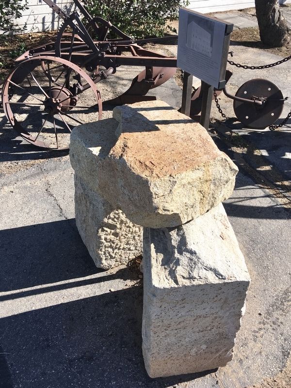
Photographed by Craig Baker, February 7, 2021
2. Hesperia Hotel Marker
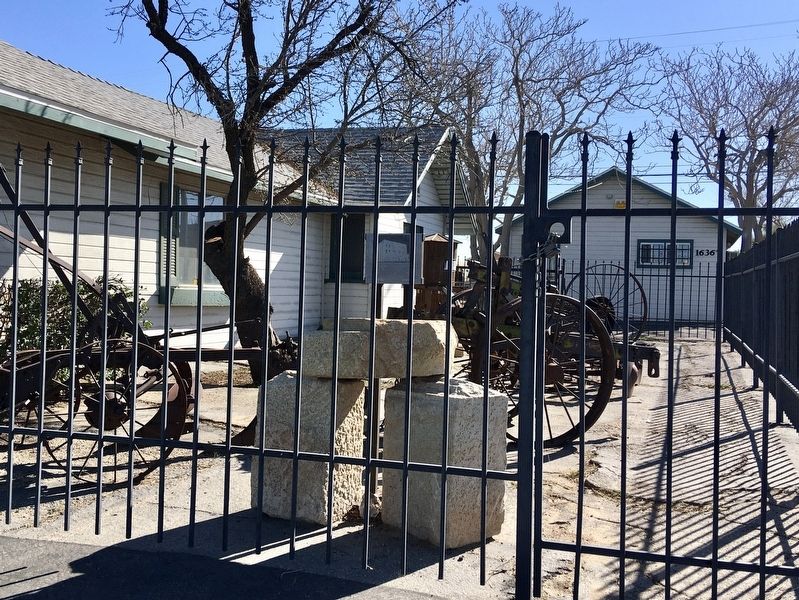
Photographed by Craig Baker, February 7, 2021
3. Hesperia Hotel Marker
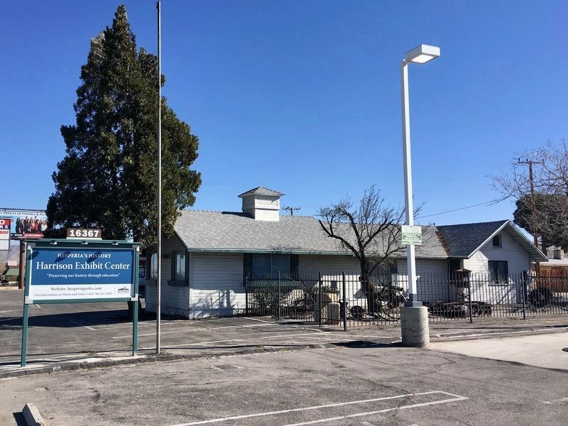
Photographed by Craig Baker, February 7, 2021
4. Harrison Exhibit Center Museum
Built in 1926, it’s the third oldest building in Hesperia.
Credits. This page was last revised on May 2, 2025. It was originally submitted on February 8, 2021, by Craig Baker of Sylmar, California. This page has been viewed 1,257 times since then and 187 times this year. Photos: 1, 2, 3, 4. submitted on February 8, 2021, by Craig Baker of Sylmar, California. • J. Makali Bruton was the editor who published this page.
