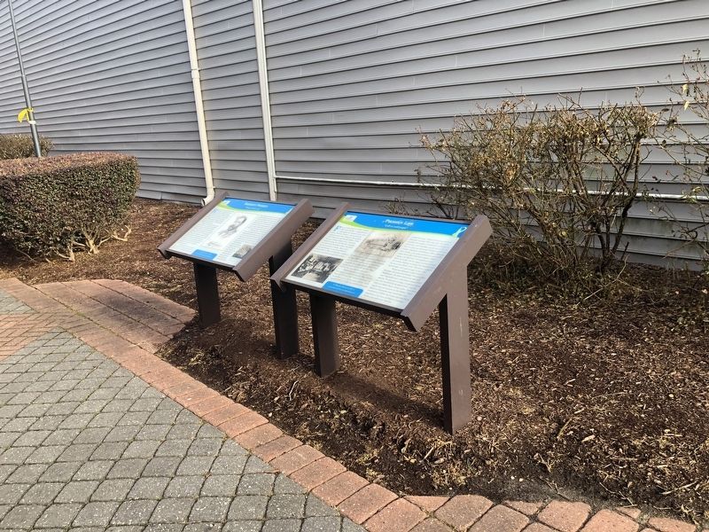
Phoebus Life
"wall-to-wall people"
— Explore Hampton 2010: From the Sea to the Stars —
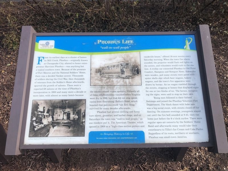
From its earliest days as a cluster of homes on Mill Creek, Phoebus—originally known as Chesapeake City, altered to honor entrepreneur Harrison Phoebus—as anything but a typical southern town. Because of the presence of Fort Monroe and the National Soldiers' Home, there was a decided Yankee accent. Thousands of soldiers during the Civil War, then thousands of veterans from the Soldier's Home afterwards, spurred the growth of saloons. There were a reported 68 saloons at the time of Phoebus's incorporation in 1900 and many more a decade or more later, with almost as many hotels because the saloons rented rooms upstairs. Virtually all of these establishments vanished when Virginia went dry in 1916, but that did not stop speakeasies from flourishing. Fuller's House, which boasted that patrons could "eat dirt cheap," survived for many decades afterwards.
Phoebus had several clothing and furniture stores, groceries, and barber shops, and on Saturdays the town was "wall-to-wall people," as one resident put it. The American Theater, which opened in 1908 as a "high-class motion picture and vaudeville house," offered 10-cent movies every Saturday morning. When the town fire alarm sounded, the projector would flash red lights on the screen, and volunteers would rush to the station. A trolley car connected Phoebus to Old Point
Comfort, Hampton and Newport News. Sidewalks were wooden, and many streets were paved with oyster shells over which beer wagons, bakery wagons, and the town's fire apparatus were drawn by horses. An ice wagon rambled through the streets, stopping at homes that displayed signs for one or two blocks of ice. The horses, recognizing the signs, were said to stop on their own.
Young men followed in their fathers' footsteps and joined the Phoebus Volunteer Fire Department. The block dance with bake sale was a big social event, with streets closed off for dancing. On summer evenings, youngsters stayed out until the fire bell sounded at 8:45, then ran home just before the 9 o'clock curfew. There were regular open-air concerts by the Soldiers' Home Band and afterwards many would take their sweethearts to Tillie's Ice Cream and Cake Parlor. Regardless of its roots, northern or southern, Phoebus was small-town America.
Erected 2010 by Hampton Convention & Visitor Bureau.
Topics. This historical marker is listed in these topic lists: Industry & Commerce • Roads & Vehicles • Settlements & Settlers. A significant historical year for this entry is 1900.
Location. 37° 1.072′ N, 76° 19.318′ W. Marker is in Hampton, Virginia. It is in Phoebus. Marker is on East Mellen Street, 0.1 miles east of

Other nearby markers. At least 8 other markers are within walking distance of this marker. Harrison Phoebus (here, next to this marker); Town Hall / Fire Department (within shouting distance of this marker); Phoebus - The Gateway To The New World (within shouting distance of this marker); In Memoriam (within shouting distance of this marker); Phoebus (approx. 0.2 miles away); Chesapeake & Ohio (approx. 0.2 miles away); Saint Mary Star Of The Sea And Its School (approx. ¼ mile away); Camp Hamilton (approx. 0.3 miles away). Touch for a list and map of all markers in Hampton.
Credits. This page was last revised on February 1, 2023. It was originally submitted on February 8, 2021, by Devry Becker Jones of Washington, District of Columbia. This page has been viewed 201 times since then and 23 times this year. Photos: 1, 2. submitted on February 8, 2021, by Devry Becker Jones of Washington, District of Columbia.
