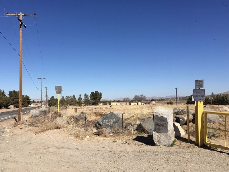
Near Hesperia in San Bernardino County, California — The American West (Pacific Coastal)
Atongai Indian Village
Oldest Known Settlement in Hesperia
— Prehistoric —
Erected 1995 by Hesperia Recreation and Park District. (Marker Number 7.)
Topics. This historical marker is listed in these topic lists: Churches & Religion • Colonial Era • Native Americans • Settlements & Settlers. A significant historical year for this entry is 1776.
Location. 34° 21.071′ N, 117° 14.874′ W. Marker is near Hesperia, California, in San Bernardino County. Marker is on Arrowhead Lake Road, 0.1 miles north of Welsh Road, on the right when traveling north. Touch for map. Marker is at or near this postal address: 18788 Welsh Rd, Hesperia CA 92345, United States of America. Touch for directions.
Other nearby markers. At least 8 other markers are within 6 miles of this marker, measured as the crow flies. Hesperia’s Original Water Source (here, next to this marker); Mojave Indian Trail / Hesperia Lakes (approx. 2.3 miles away); Holcomb Valley Road (approx. 4 miles away); Las Flores Ranch / Mojave Trail (approx. 5.1 miles away); Original Water Supply Ditch (approx. 5.1 miles away); Las Flores Ranch Barn (approx. 5.2 miles away); Old School House (approx. 5.6 miles away); Walters Store & House (approx. 5.9 miles away). Touch for a list and map of all markers in Hesperia.
Credits. This page was last revised on February 11, 2021. It was originally submitted on February 9, 2021, by Craig Baker of Sylmar, California. This page has been viewed 542 times since then and 67 times this year. Photos: 1, 2, 3. submitted on February 9, 2021, by Craig Baker of Sylmar, California. • Devry Becker Jones was the editor who published this page.


