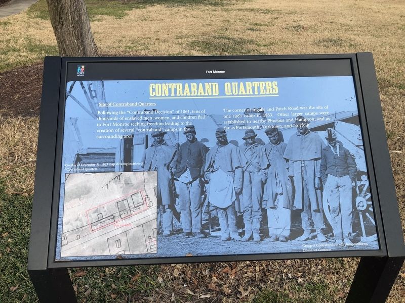
Contraband Quarters
Site of Contraband Quarters
— Fort Monroe —
Following the "Contraband Decision" of 1861, tens of thousands of enslaved men, women, and children fled to Fort Monroe seeking freedom leading to the creation of several "contraband" camps in the surrounding area.
The corner of Ingalls and Patch Road was the site of one such camp in 1863. Other larger camps were established in nearby Phoebus and Hampton, and as far as Portsmouth, Yorktown, and Norfolk.
Erected by Fort Monroe Authority; National Park Service, U.S. Department of the Interior.
Topics. This historical marker is listed in these topic lists: African Americans • Forts and Castles • War, US Civil. A significant historical year for this entry is 1861.
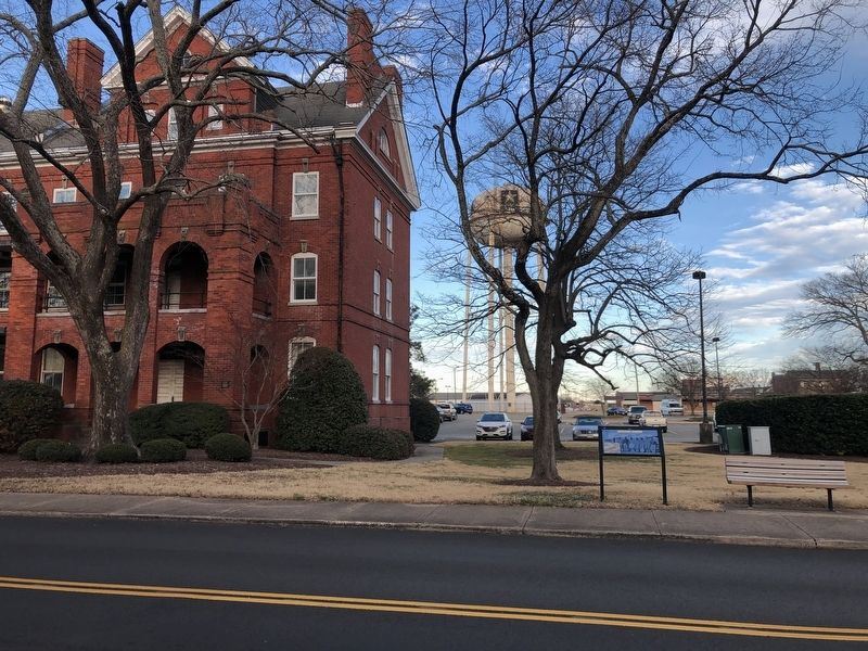
Location. 37° 0.378′ N, 76° 18.744′ W. Marker is in Hampton, Virginia. It is in Fort Monroe. Marker is on Ingalls Road just north of Patch Road, on the right when traveling north. Touch for map. Marker is at or near this postal address: 100 Ingalls Rd, Fort Monroe VA 23651, United States of America. Touch for directions.
Other nearby markers. At least 8 other markers are within walking distance of this marker. Fort Monroe Arsenal (within shouting distance of this marker); Rodman Gun (about 800 feet away, measured in a direct line); Fort Monroe (about 800 feet away); a different marker also named Rodman Gun (approx. 0.2 miles away); Contraband Hospital
Credits. This page was last revised on February 1, 2023. It was originally submitted on February 9, 2021, by Devry Becker Jones of Washington, District of Columbia. This page has been viewed 192 times since then and 22 times this year. Photos: 1, 2. submitted on February 9, 2021, by Devry Becker Jones of Washington, District of Columbia.

