Near Ocala in Marion County, Florida — The American South (South Atlantic)
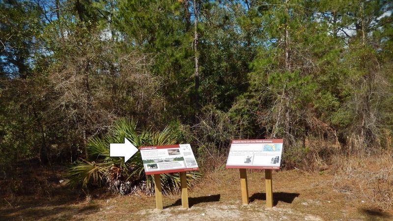
Landbridge East
Marjorie Harris Carr Cross Florida Greenway
From Separation to Connection
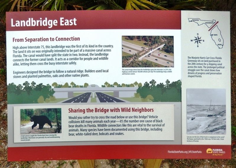
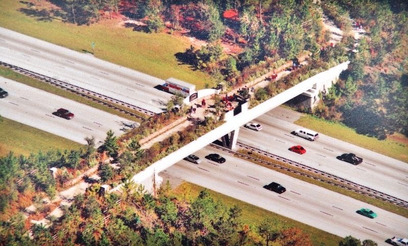
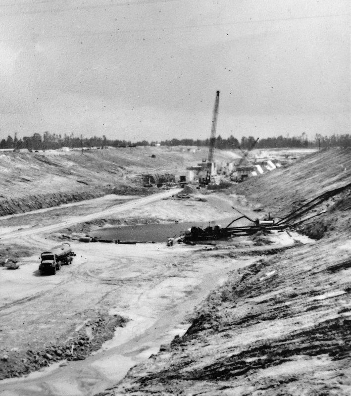
High above Interstate 75, this landbridge was the first of its kind in the country. The land it sits on was originally intended to be part of a massive canal across Florida. The canal would have split the state in two. Instead, the landbridge connects the former canal lands. It acts as a corridor for people and wildlife alike, letting them cross the busy interstate safely.
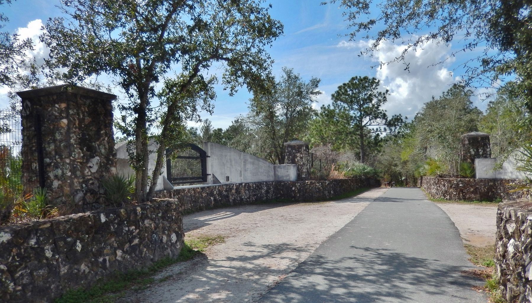
Engineers designed the bridge to follow a natural ridge. Builders used local stones and planted palmettos, oaks and other native plants.
Sharing the Bridge with Wild Neighbors
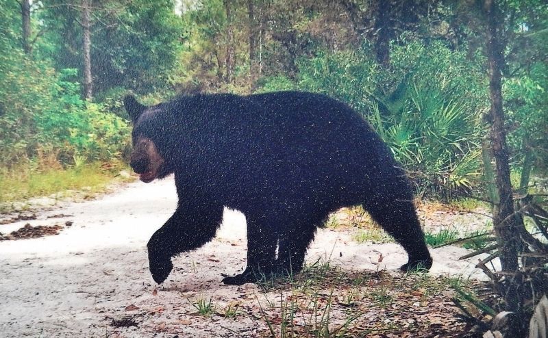
Would you rather try to cross the road below or use this bridge? Vehicle collisions kill many animals each year — it's the number one cause of black bear deaths in Florida. Wildlife connectors like this are vital to the survival of animals. Many species have been documented using this bridge, including bear, white-tailed deer, bobcats and snakes.
Erected by Florida State Parks.
Topics. This historical marker is listed in these topic lists: Animals • Bridges & Viaducts • Environment • Waterways & Vessels.
Location. 29° 3.202′ N, 82° 10.071′ W. Marker is near Ocala , Florida, in Marion County. Marker is on Florida Trail, 1.2 miles west of SW 16th Avenue, on the right when traveling west. Marker is located on the east side of the Cross Florida Greenway I-75 Land Bridge, about 1.2 miles southwest of the Land Bridge Trailhead. The Land Bridge Trailhead is located at 11100 SW 16th Avenue. Touch for map. Marker is in this post office area: Ocala FL 34476, United States of America. Touch for directions.
Other nearby markers. At least 8 other markers are within 6 miles of this marker, measured as the crow flies. Landbridge West (approx. 0.2 miles away); Marjorie Harris Carr Cross Florida Greenway (approx. 0.2 miles away); Old Canal Landfill (approx. 2.1 miles away); Florida Honors and Remembers our POW’s and MIA’s (approx. 3.1 miles away); Shangri-La Diggings (approx. 4.4 miles away); History: Cows & Horses (approx. 5.8 miles away); History: Monkeys & Boars (approx. 5.8 miles away); Cat Face (approx. 5.8 miles away). Touch for a list and map of all markers in Ocala.
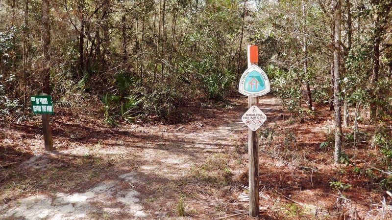
More about this marker. Access to the marker is via foot, bicycle or horseback on the Florida Trail. Adjacent marker, "Marjorie Harris Carr Cross Florida Greenway," is replicated at multiple locations along the greenway.
Related markers. Click here for a list of markers that are related to this marker. Marjorie Harris Carr Cross Florida Greenway
Also see . . .
1. Cross Florida Greenway History: The Land Bridge. Florida Hikes! website entry:
It’s been an iconic
landmark along Interstate 75 for more than a decade. Built in 1999-2000, the Cross Florida Greenway Land Bridge was the first true land bridge in the United States, modeled after a design used in the Netherlands. At its core, it’s a giant planter, with 87-ton beams stretching 2,000 feet across I-75 to hold soil, rock, trees, native plants, and a watering system in a thousand-ton cradle of concrete and steel. (Submitted on February 13, 2021, by Cosmos Mariner of Cape Canaveral, Florida.)
2. Marjorie Harris Carr Cross Florida Greenway. Florida State Parks website entry:
One of the nation's largest incomplete public works projects has been transformed into the diverse Cross Florida Greenway, spanning Central Florida from the Gulf of Mexico to the St. Johns River. (Submitted on February 13, 2021, by Cosmos Mariner of Cape Canaveral, Florida.)
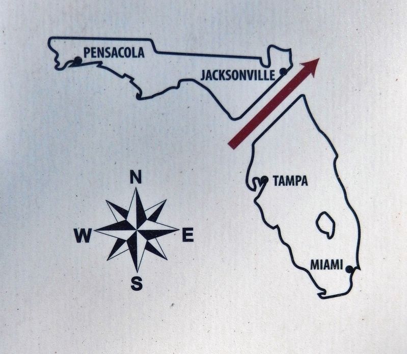
5. Marker detail: Marjorie Harris Carr Cross Florida Greenway
The Marjorie Harris Carr Cross Florida Greenway sits on land purchased in the 20th century for a shipping canal across the state. The prolonged political struggle over the canal shows how dreams of progress and preservation shaped Florida.
Credits. This page was last revised on July 30, 2021. It was originally submitted on February 10, 2021, by Cosmos Mariner of Cape Canaveral, Florida. This page has been viewed 328 times since then and 51 times this year. Photos: 1. submitted on February 12, 2021, by Cosmos Mariner of Cape Canaveral, Florida. 2, 3, 4, 5, 6, 7, 8, 9. submitted on February 13, 2021, by Cosmos Mariner of Cape Canaveral, Florida.
