Stamping Ground in Scott County, Kentucky — The American South (East South Central)
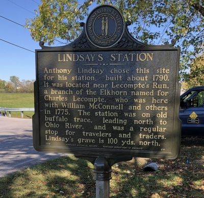
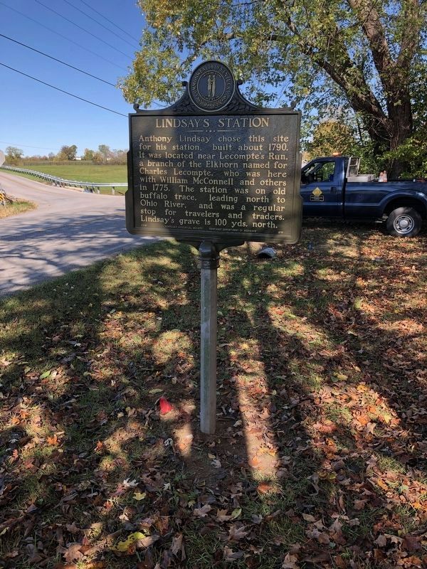
Lindsay's Station
Erected 2019 by Kentucky Historical Society, Kentucky Department of Highways. (Marker Number 218.)
Topics and series. This historical marker is listed in these topic lists: Colonial Era • Roads & Vehicles • Settlements & Settlers. In addition, it is included in the Kentucky Historical Society series list. A significant historical year for this entry is 1790.
Location. 38° 17.262′ N, 84° 42.348′ W. Marker is in Stamping Ground, Kentucky, in Scott County. Marker is at the intersection of Owenton Road (Kentucky Route 227 at milepost 8.1) and Cedar Road (Kentucky Route 368), on the right when traveling north on Owenton Road. Touch for map. Marker is at or near this postal address: 4017 Owenton Road, Stamping Ground KY 40379, United States of America. Touch for directions.
Other nearby markers. At least 8 other markers are within 8 miles of this marker, measured as the crow flies. Stonetown (approx. 1.4 miles away); Buffalo Springs (approx. 1˝ miles away); Stamping Ground (approx. 1˝ miles away); Switzer Covered Bridge (approx. 3.8 miles away); Branham's Mill / Galloway Pike Iron Bridge (approx. 4.7 miles away); St. Francis Church (approx. 5.6 miles away); U.S. Vice President (approx. 7.4 miles away); Johnson Family Cemetery (approx. 7˝ miles away). Touch for a list and map of all markers in Stamping Ground.
Credits. This page was last revised on August 9, 2023. It was originally submitted on February 12, 2021, by Brian K. Hall of Lexington, Kentucky. This page has been viewed 739 times since then and 118 times this year. Photos: 1, 2. submitted on February 12, 2021, by Brian K. Hall of Lexington, Kentucky. • Devry Becker Jones was the editor who published this page.

