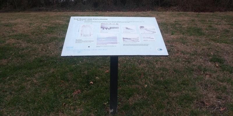
The Ramp and Esplande
— Chilo: Living and Working with the Ohio River —
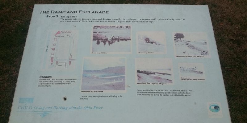
The Esplanade
The ground between the powerhouse and the river was called the esplanade. It was paved and kept immaculately clean. The area is now under 30 feet of water and the lock wall is 100 yards from the current river edge.
Stories
Children from Chilo would pick blackberries to
earn money for an annual trip to Coney Island.
They would ride the Island Queen to the-
amusement park.
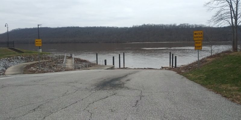
The boat ramp was originally the road leading to the esplanade.
Barges would deliver coal for the Chilo Lock and Dam. Prior to 1940, a
pulley house at the top of the ramp pulled coal cars up tracks. From
there, an electric rail moved the cars to a coal pit behind the garage.
Erected by Clermont County Park District. (Marker Number 3.)
Topics. This historical marker is listed in this topic list: Waterways & Vessels. A significant historical year for this entry is 1940.
Location. 38° 47.411′ N, 84° 8.004′ W. Marker is in Chilo, Ohio, in Clermont County. Marker is on County Park Road, 0.3 miles east of Green Street, on the right when traveling south. Touch for map. Marker is at or near this postal address: 521 County Park Rd, Felicity OH 45120, United States of America. Touch for directions.
Other nearby markers. At least 8 other markers are within walking distance of this marker. The Ohio River: Ever Changing (within shouting distance of this marker); The Wood Frame Houses
Credits. This page was last revised on February 17, 2021. It was originally submitted on February 14, 2021, by Craig Doda of Napoleon, Ohio. This page has been viewed 166 times since then and 7 times this year. Photos: 1, 2, 3. submitted on February 14, 2021, by Craig Doda of Napoleon, Ohio. • Devry Becker Jones was the editor who published this page.


