Chilo in Clermont County, Ohio — The American Midwest (Great Lakes)
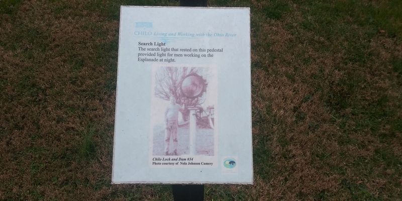
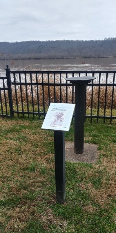
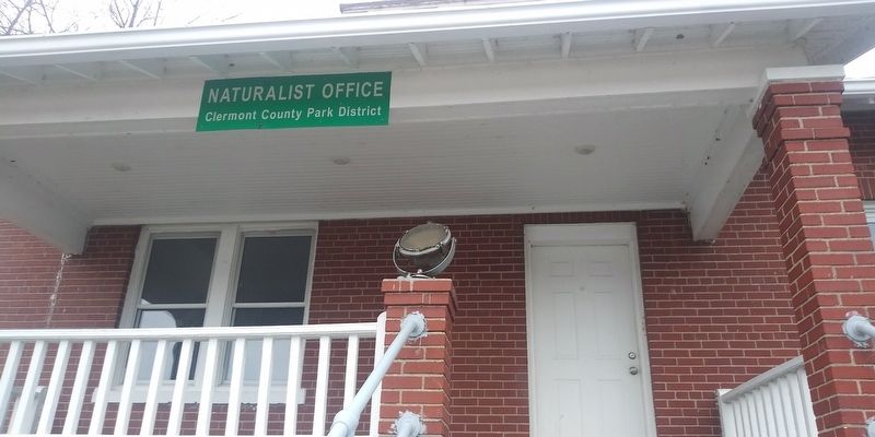
Search Lights
— Chilo: Living and Working with the Ohio River —
Erected by Clermont County Park District.
Topics. This historical marker is listed in these topic lists: Communications • Industry & Commerce • Waterways & Vessels.
Location. 38° 47.371′ N, 84° 7.925′ W. Marker is in Chilo, Ohio, in Clermont County. Marker is on County Park Road, 0.2 miles south of Ohio River Scenic Byway (U.S. 52), on the right when traveling south. Touch for map. Marker is at or near this postal address: 521 County Park Rd, Chilo OH 45112, United States of America. Touch for directions.
Other nearby markers. At least 8 other markers are within walking distance of this marker. The Flood of 1937 (here, next to this marker); The Chilo Lock and Dam #34 Walking Tour (here, next to this marker); Replacing Chilo (a few steps from this marker); Chilo Lock & Dam #34 Powerhouse (a few steps from this marker); Water Highways (a few steps from this marker); Locking Through (within shouting distance of this marker); The “Rye” Field and Water Tower (within shouting distance of this marker); The Assistant Lockmaster’s House (within shouting distance of this marker). Touch for a list and map of all markers in Chilo.
Credits. This page was last revised on February 17, 2021. It was originally submitted on February 14, 2021, by Craig Doda of Napoleon, Ohio. This page has been viewed 99 times since then and 11 times this year. Photos: 1, 2, 3. submitted on February 14, 2021, by Craig Doda of Napoleon, Ohio. • Devry Becker Jones was the editor who published this page.


