Near Ocala in Marion County, Florida — The American South (South Atlantic)
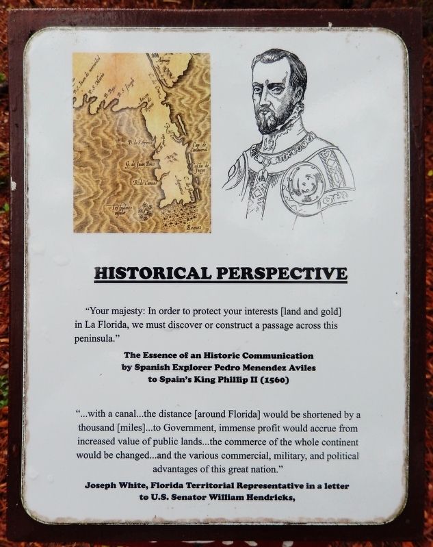
Historical Perspective
Historic Florida Barge Canal Trail
by Spanish Explorer Pedro Menendez Aviles
to Spain's King Phillip II (1560)
"…with a canal… the distance [around Florida] would be shortened by a thousand [miles]… to Government, immense profit would accrue from increased value of public lands… the commerce of the whole continent would be changed… and the various commercial, military, and political advantages of this great nation."
to U.S. Senator William Hendricks
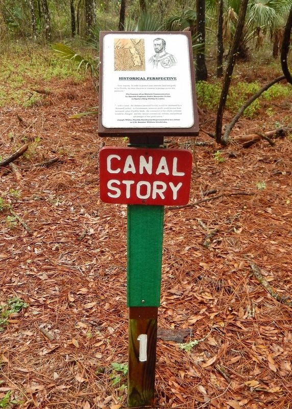
Erected by Florida State Parks. (Marker Number 1.)
Topics. This historical marker is listed in these topic lists: Colonial Era • Exploration • Industry & Commerce • Waterways & Vessels. A significant historical year for this entry is 1560.
Location. 29° 6.206′ N, 82° 5.413′ W. Marker is near Ocala, Florida, in Marion County. Marker can be reached from the intersection of Southeast 80th Street (County Road 328) and South Pine Avenue (U.S. 441), on the right when traveling east. Marker is located along the trail at "The Island" - Cross Florida Barge Canal Interpretive Park, just south of the Marion County Sheriff's Station. Touch for map. Marker is at or near this postal address: 3260 Southeast 80th Street, Ocala FL 34480, United States of America. Touch for directions.
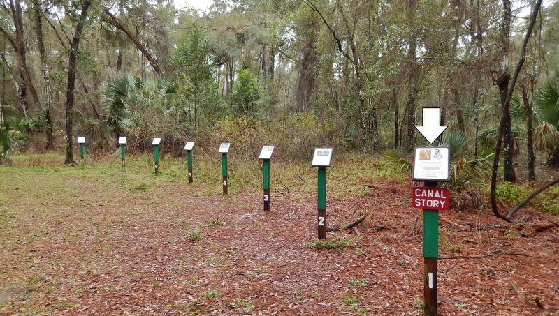
Other nearby markers. At least 8 other markers are within walking distance of this marker. A Beautiful Place (here, next to this marker); Great Depression Public Works Project (here, next to this marker); Protective Perspective (here, next to this marker); Opposition to the Canal (here, next to this marker); Environmental Victory Nears (a few steps from this marker); Deliberate Strategy (a few steps from this marker); Conclusive Federal Action (a few steps from this marker); Canal Stopping (within shouting distance of this marker). Touch for a list and map of all markers in Ocala.
Related markers. Click here for a list of markers that are related to this marker. Historic Florida Barge Canal Trail
Also see . . .
1. Colonization Efforts Of Pedro Menéndez De Avilés. In 1565, Menéndez contracted with King Phillip II to colonize and explore La Florida, which as conceived by Spain at that time, extended from the Florida Panhandle to Newfoundland. He is notable for planning the first regular trans-oceanic convoys, which became known as the Spanish treasure fleet, and for founding St. Augustine, Florida. (Submitted on February 15, 2021, by Cosmos Mariner of Cape Canaveral, Florida.)
2. History of the Cross Florida Greenway. The possibility of crossing Florida through inland waterways was first raised in 1567 by the founder of Spanish St. Augustine, Pedro Menéndez de Avilés. Even in the early days of European colonization, the journey around the cape of Florida was considered treacherous. Pirates, dangerous currents, hurricanes and shallow waters doomed many ships that attempted the lengthy trip. (Submitted on February 16, 2021, by Cosmos Mariner of Cape Canaveral, Florida.)
3. Joseph M. White. A Delegate from Florida Territory; moved to Pensacola, Fla., in 1821; one of the commissioners under the act of Congress of May 8, 1822, "for ascertaining claims and titles to lands within the Territory of Florida.” (Submitted on February 15, 2021, by Cosmos Mariner of Cape Canaveral, Florida.)
Credits. This page was last revised on February 21, 2021. It was originally submitted on February 14, 2021, by Cosmos Mariner of Cape Canaveral, Florida. This page has been viewed 222 times since then and 14 times this year. Photos: 1, 2, 3. submitted on February 15, 2021, by Cosmos Mariner of Cape Canaveral, Florida.


