Remington in Baltimore, Maryland — The American Northeast (Mid-Atlantic)
Remington
Baltimore
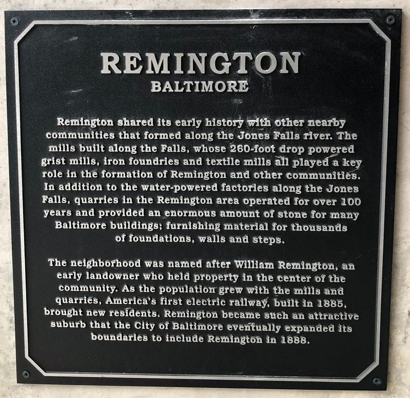
Remington shared its early history with other nearby communities that formed along the Jones Falls river. The mills build along the Falls, whose 260-foot drop powered grist mills, iron foundries and textile mills all played a key role in the formation of Remington and other communities. In addition to the water-powered factories along the Jones Falls, quarries in the Remington area operated for over 100 years and provided an enormous amount of stone for many Baltimore buildings; furnishing material for thousands of foundations, walls and steps.
The neighborhood was named after William Remington, an early landowner who held property in the center of the community. As the population grew with the mills and quarries, America's first electric railway, built in 1885, brought new residents. Remington became such an attractive suburb that the City of Baltimore eventually expanded its boundaries to include Remington in 1888.
Topics. This historical marker is listed in these topic lists: Industry & Commerce • Railroads & Streetcars • Settlements & Settlers • Waterways & Vessels. A significant historical year for this entry is 1885.
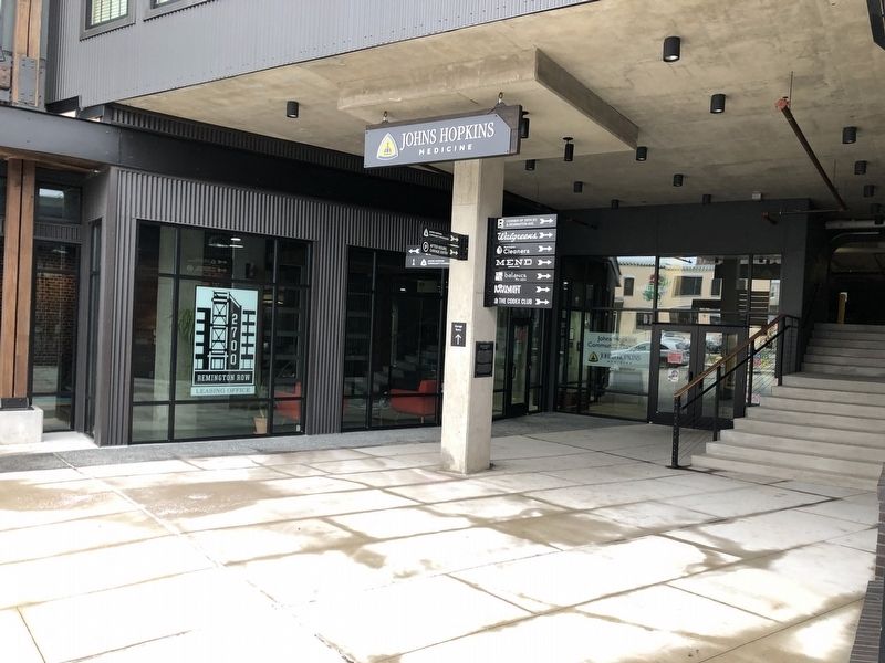
Location. 39° 19.241′ N, 76° 37.267′ W. Marker is in Baltimore, Maryland. It is in Remington. Marker is on Remington Avenue just south of West
Other nearby markers. At least 8 other markers are within walking distance of this marker. Wyman Park Dell (approx. ¼ mile away); Harriet Tubman Grove (approx. ¼ mile away); Union Soldiers and Sailors Monument (approx. ¼ mile away); The Huntingdon Avenue Viaduct Bridge Path (approx. 0.3 miles away); Joseph Beuys Tree Partnership (approx. 0.3 miles away); Chapin A. Harris (approx. 0.3 miles away); a different marker also named Wyman Park Dell (approx. 0.3 miles away); Spring House or Dairy - c. 1812 (approx. 0.3 miles away). Touch for a list and map of all markers in Baltimore.
Credits. This page was last revised on February 15, 2021. It was originally submitted on February 15, 2021, by Devry Becker Jones of Washington, District of Columbia. This page has been viewed 141 times since then and 7 times this year. Photos: 1, 2. submitted on February 15, 2021, by Devry Becker Jones of Washington, District of Columbia.

