Orchard
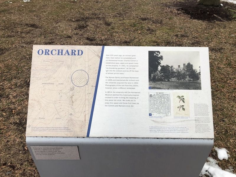
Over 200 years ago, an orchard grew here. Even before he completed work on Homewood house, Charles Carroll Jr. established pear, apple and peach trees on the property. In 1801, he complained "my blundering gardener" let the cow "get into the orchard and nip off the tops of almost all the trees.
The Wyman family purchased Homewood in 1838 and maintained the orchard until the university acquired the land in 1902. Photographs of the site from the 1920s, however, show a different landscape.
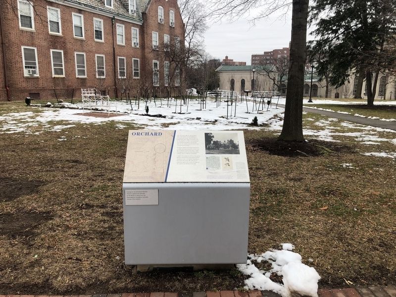
In 2014, the university and the Homewood Museum planted this historically-inspired orchard in order to bring the meaning of this place full circle. We invite you to enjoy this space and these fruit trees as the Carrolls and Wymans once did.
Topics. This historical marker is listed in these topic lists: Agriculture • Education • Horticulture & Forestry. A significant historical year for this entry is 1801.
Location. 39° 19.808′ N, 76° 37.132′ W. Marker is in Baltimore, Maryland. It is in Johns Hopkins Homewood. Marker can be reached from North Charles Street (Maryland Route 139) 0.1 miles north of East Gate, on the left when traveling north. Touch for map. Marker is in this post office area: Baltimore MD 21210, United States of America. Touch for directions.
Other nearby markers. At least 8 other markers are within walking distance of this marker. Homewood (here, next to this marker); Homewood Privy, c. 1801
Credits. This page was last revised on February 16, 2021. It was originally submitted on February 15, 2021, by Devry Becker Jones of Washington, District of Columbia. This page has been viewed 136 times since then and 7 times this year. Photos: 1, 2. submitted on February 15, 2021, by Devry Becker Jones of Washington, District of Columbia.

