Wyman Park
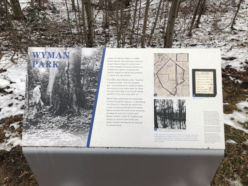
A place is what we make it. In 1898, William Wyman discussed plans with his cousin William Keyser to donate land to Johns Hopkins University and the city of Baltimore. Wyman recognized the need to support an advancing university in search of a new campus.
In a 1901 letter, Wyman wrote, "It will be a source of pride…that this property will…be occupied by an institution which…has shed so much lustre upon my native city and which bids to be of such lasting benefit to those who come after us."
Wyman also understood the importance of preserving green spaces in a developing city. Driven by a passion for nature and a wish to preserve the land of his home, Wyman donated 60 acres to the university, including 10 acres for a public park. Wyman wanted a place for students and citizens to improve their minds and bodies through learning and by enjoying his beloved land.
Topics. This historical marker is listed in these topic lists: Education • Parks & Recreational Areas. A significant historical year for this entry is 1898.
Location. 39° 19.718′ N, 76° 37.326′ W. Marker is in Baltimore, Maryland. It is in Johns Hopkins Homewood. Marker is on Bowman Drive, half a mile north of Wyman Park Drive, on the right when traveling south. Touch for map. Marker is in this post office area: Baltimore MD 21218, United States of America. Touch for directions.
Other nearby markers. At least 8 other markers are within
Credits. This page was last revised on February 16, 2021. It was originally submitted on February 15, 2021, by Devry Becker Jones of Washington, District of Columbia. This page has been viewed 143 times since then and 18 times this year. Photos: 1, 2. submitted on February 15, 2021, by Devry Becker Jones of Washington, District of Columbia.

