Strategic Location
Along the River
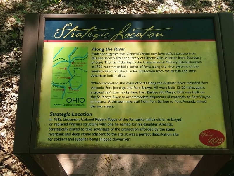
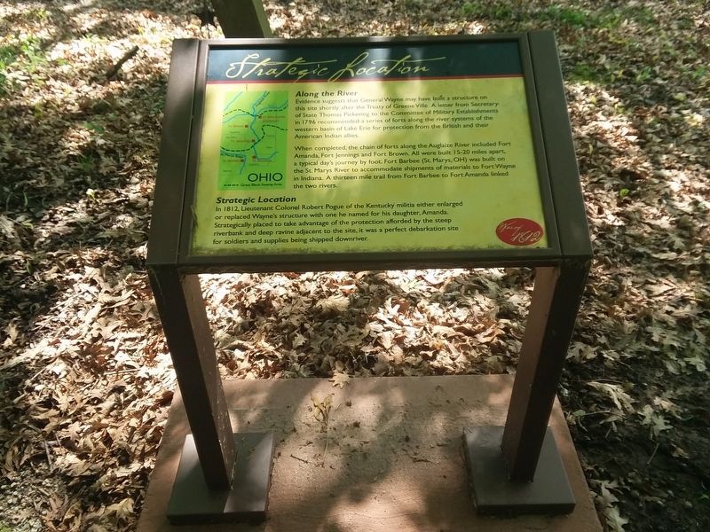
Evidence suggests that General Wayne may have built a structure on this site shortly after the Treaty of Greene Ville. A letter from Secretary of State Thomas Pickering to the Committee of Military Establishments in 1796 recommended a series of forts along the river systems of the western basin of Lake Erie for protection from the British and their American Indian allies.
When completed, the chain of forts along the Auglaize River included Fort Amanda, Fort Jennings and Fort Brown. All were built 15-20 miles apart, a typical day's journey by foot. Fort Barbee (St. Marys, OH) was built on the St. Marys River to accommodate shipments of materials to Fort Wayne in Indiana. A thirteen mile trail from Fort Barbee to Fort Amanda linked the two rivers.
Strategic Location
In 1812, Lieutenant Colonel Robert Pogue of the Kentucky militia either enlarged
or replaced Wayne's structure with one he named for his daughter, Amanda.
Strategically placed to take advantage of the protection afforded by the steep
riverbank and deep ravine adjacent to the site, it was a perfect debarkation site
for soldiers and supplies being shipped downriver.
Erected by Ohio History Connection.
Topics and series. This historical marker is listed in these topic
Location. 40° 40.908′ N, 84° 16.123′ W. Marker is in Kossuth, Ohio, in Auglaize County. Marker is on Ohio Route 198, 0.2 miles south of Deep Cut Road (Local Highway 230), on the right when traveling north. Touch for map. Marker is at or near this postal address: 22789 OH-198, Spencerville OH 45887, United States of America. Touch for directions.
Other nearby markers. At least 8 other markers are within walking distance of this marker. Troops Stationed at Fort Amanda (a few steps from this marker); a different marker also named Troops Stationed at Fort Amanda (a few steps from this marker); a different marker also named Troops Stationed at Fort Amanda (a few steps from this marker); The 77 Unknown Soldiers (within shouting distance of this marker); The Cemetery (about 300 feet away, measured in a direct line); The Fort: Construction (about 300 feet away); The Story of this Site (about 400 feet away); Story of Fort Amanda (about 400 feet away). Touch for a list and map of all markers in Kossuth.
Credits. This page was last revised on February 18, 2021. It was originally submitted on February 17, 2021, by Craig Doda of Napoleon, Ohio. This page has been viewed 210 times since then and 20 times this year. Photos: 1, 2. submitted on February 17, 2021, by Craig Doda of Napoleon, Ohio. • Devry Becker Jones was the editor who published this page.

