Blountstown in Calhoun County, Florida — The American South (South Atlantic)
"Old Blountstown" Courthouse
Side 1
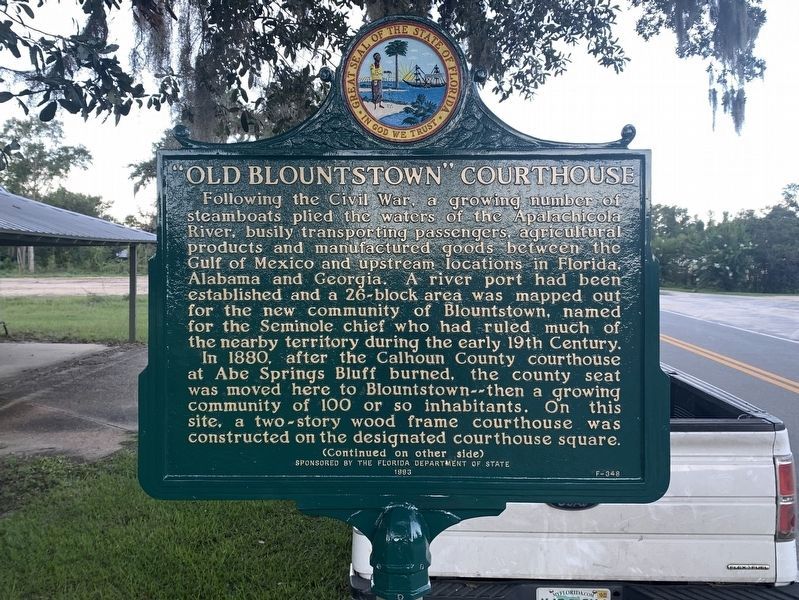
Following the Civil War, a growing number of steamboats plied the waters of the Apalachicola River, busily transporting passengers, agricultural products and manufactured goods between the Gulf of Mexico and upstream locations in Florida, Alabama and Georgia. A river port had been established and a 26-block area was mapped out for the new community of Blountstown, named for the Seminole chief who had ruled much of the nearby territory during the early 19th Century.
In 1880, after the Calhoun County courthouse at Abe Springs Bluff burned, the county seat was moved here to Blountstown -- then a growing community of 100 or so inhabitants. On this site, a two-story wood frame courthouse was constructed on the designated courthouse square.
(Continued on other side)
Side 2
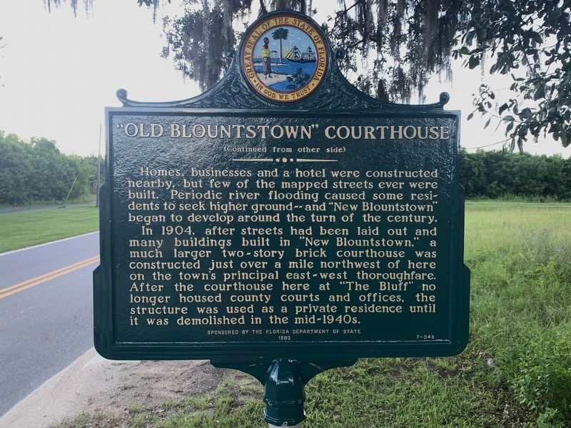
(Continued from other side)
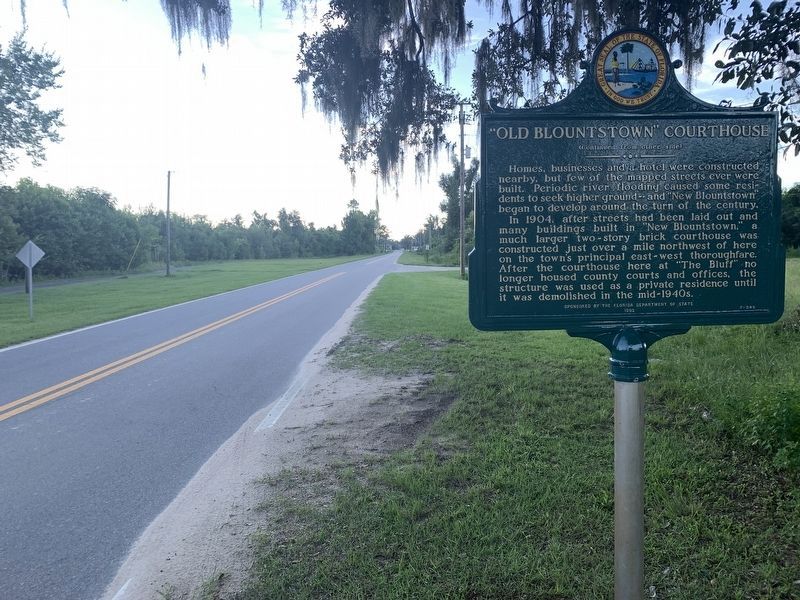
Homes, businesses and a hotel were constructed nearby, but few of the mapped streets ever were built. Periodic river flooding caused some residents to seek higher ground -- and "New Blountstown" began to develop around the turn of the century.
In 1904, after streets had been laid out and many buildings built in "New Blountstown," a much larger two-story brick courthouse was constructed just over a mile northwest of here on the town's principal east-west thouroughfare. After the courthouse here at "The Bluff" no longer housed county courts and offices, the structure was used as a private residence until it was demolished in the mid-1940s.
Erected 1993 by The Department of State. (Marker Number F-348.)
Topics. This historical marker is listed in these topic lists: Settlements & Settlers • Waterways & Vessels. A significant historical year for this entry is 1880.
Location. 30° 25.52′ N, 85° 2.035′ W. Marker is in Blountstown, Florida, in Calhoun County. Marker is on River Street, 0.1 miles south of Hay Street, on the left when traveling south. Touch for map. Marker is in this post office area: Blountstown FL 32424, United States of America. Touch for directions.
Other nearby markers. At least 8 other markers are within 17 miles of this marker, measured as the crow flies. Cochranetown - Corakko Talofv (approx. 1.3 miles away); Blunt Reservation and Fields (approx. 1.3 miles away); M & B Railroad (approx. 1.6 miles away); Governor Fuller Warren (approx. 3.7 miles away); Abe Springs Bluff Courthouse (approx. 7.4 miles away); Altha Methodist Church (approx. 11.4 miles away); Torreya Tree (approx. 11.6 miles away); Florida Honors and Remembers our POW’s and MIA’s (approx. 16.3 miles away). Touch for a list and map of all markers in Blountstown.
Credits. This page was last revised on October 28, 2022. It was originally submitted on February 19, 2021, by Tim Fillmon of Webster, Florida. This page has been viewed 246 times since then and 43 times this year. Photos: 1, 2, 3. submitted on October 28, 2022, by Tim Fillmon of Webster, Florida.


