McConnelsville in Morgan County, Ohio — The American Midwest (Great Lakes)
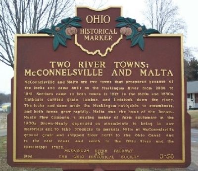
Two River Towns: McConnelsville and Malta
Inscription.
McConnelsville and Malta are two towns that prospered because of the locks and dams built on the Muskingum River from 1836 to 1841. Settlers came to both towns in 1817. In the 1820s and 1830s, flatboats carried grain, lumber, and livestock down the river. The locks and dams made the Muskingum navigable to steamboats, and both towns grew rapidly. Malta was the home of the Brown-Manly Plow Company, a leading maker of farm equipment in the 1800s. Brown-Manly depended on steamboats to bring in raw materials and to take products to markets. Mills at McConnelsville ground grain and shipped flour north to the Ohio Canal and to the east coast, and south to the Ohio River and the Mississippi trade.
Erected 1996 by Muskingum River Parkway and The Ohio Historical Society. (Marker Number 3-58.)
Topics and series. This historical marker is listed in these topic lists: Agriculture • Industry & Commerce • Settlements & Settlers • Waterways & Vessels. In addition, it is included in the Ohio Historical Society / The Ohio History Connection series list. A significant historical year for this entry is 1836.
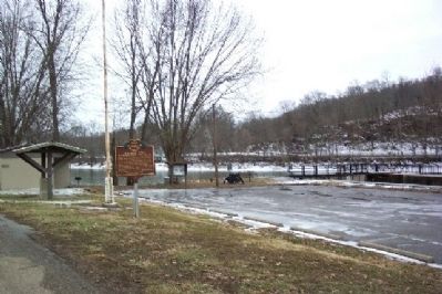
Location. 39° 38.594′ N, 81° 50.766′ W. Marker is in McConnelsville, Ohio, in Morgan County. Marker is on Riverside Drive (Ohio Route 376), on the right when traveling east. Marker is next to the Muskingum River lock. Touch for map. Marker is in this post office area: McConnelsville OH 43756, United States of America. Touch for directions.
Other nearby markers. At least 8 other markers are within walking distance of this marker. Windlass or Crab Winch (within shouting distance of this marker); Howard Chandler Christy (approx. 0.4 miles away); McConnelsville Persian Gulf War Memorial (approx. 0.4 miles away); McConnelsville World War I Memorial (approx. 0.4 miles away); Lelia Morris & Trinity Methodist Episcopal Church (approx. 0.4 miles away); Since 1880 (approx. half a mile away); Purple Heart Memorial (approx. half a mile away); Evelyn True Button House (approx. half a mile away). Touch for a list and map of all markers in McConnelsville.
Credits. This page was last revised on June 16, 2016. It was originally submitted on March 4, 2009, by William Fischer, Jr. of Scranton, Pennsylvania. This page has been viewed 1,110 times since then and 44 times this year. Photos: 1, 2. submitted on March 4, 2009, by William Fischer, Jr. of Scranton, Pennsylvania. • Bill Pfingsten was the editor who published this page.

