Savannah in Jackson County, North Carolina — The American South (South Atlantic)
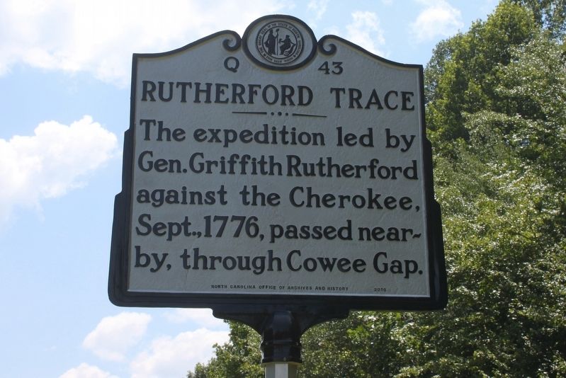
Rutherford Trace
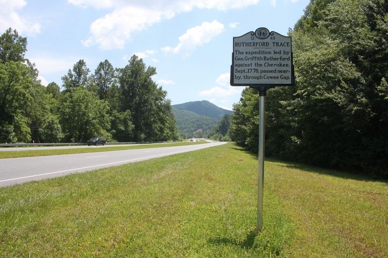
The expedition led by Gen. Griffith Rutherford against the Cherokee, Sept., 1776, passed nearby, through Cowee Gap.
Erected 2016 by North Carolina Office of Archives and History. (Marker Number Q-43.)
Topics and series. This historical marker is listed in these topic lists: Native Americans • War, US Revolutionary. In addition, it is included in the North Carolina Division of Archives and History series list. A significant historical month for this entry is September 1776.
Location. 35° 18.157′ N, 83° 15.676′ W. Marker is in Savannah, North Carolina, in Jackson County. Marker is at the intersection of U.S. 23/441 and Turtle Creek Road, on the right when traveling south on U.S. 23/441. Touch for map. Marker is in this post office area: Sylva NC 28779, United States of America. Touch for directions.
Other nearby markers. At least 8 other markers are within 6 miles of this marker, measured as the crow flies. A different marker also named Rutherford Trace (approx. 2 miles away); Western Carolina University (approx. 4.1 miles away); Lewis J. Smith (approx. 4.2 miles away); Robert L. Madison (approx. 4.2 miles away); Dan K. Moore (approx. 5.3 miles away); Jackson County War Monument (approx. 5.3 miles away); To our Valiant Fathers (approx. 5.3 miles away); Gertrude Dills McKee (approx. 5.3 miles away).
Also see . . . The Rutherford Trace and the Destruction of Nikwasi. North Carolina Department of Natural and Cultural Resources website entry (Submitted on February 21, 2021, by Tim Fillmon of Webster, Florida.)
Credits. This page was last revised on December 25, 2021. It was originally submitted on February 20, 2021, by Tim Fillmon of Webster, Florida. This page has been viewed 329 times since then and 20 times this year. Photos: 1, 2. submitted on February 20, 2021, by Tim Fillmon of Webster, Florida.

