
Colerain Township near Cincinnati in Hamilton County, Ohio — The American Midwest (Great Lakes)
Greg Snyder
Director of Parks & Services
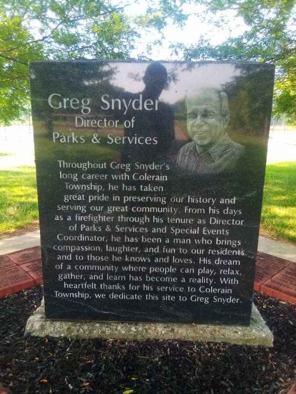
Photographed by Craig Doda, July 3, 2019
1. Greg Snyder Marker
Topics. This historical marker is listed in this topic list: Parks & Recreational Areas.
Location. 39° 17.553′ N, 84° 39.464′ W. Marker is near Cincinnati, Ohio, in Hamilton County. It is in Colerain Township. It is on East Miami River Road 0.4 miles north of Dunlap Road, on the left when traveling north. Touch for map. Marker is at or near this postal address: 11405 E Miami River Rd, Cincinnati OH 45252, United States of America. Touch for directions.

Regionally, this marker is in the American Midwest and
this page online
Other nearby markers. At least 8 other markers are within 5 miles of this marker, measured as the crow flies: Dunlap's Station (approx. 0.2 miles away); Former Site of Fort Dunlap (approx. 0.2 miles away); The First Link (approx. 1.4 miles away); Paddy's Run (approx. 3.8 miles away); Miami Chapel Cemetery / Fair Play (approx. 4.4 miles away); Bevis (approx. 4½ miles away); Meeting House (approx. 5 miles away); Dwelling (approx. 5 miles away). Touch for a list and map of all markers in Cincinnati.
Another marker is no longer nearby. Colerain Turnpike Watering Trough (was approx. 1½ miles away but has been confirmed missing).
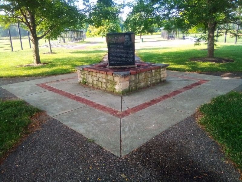
Photographed by Craig Doda, July 3, 2019
2. Greg Snyder Marker
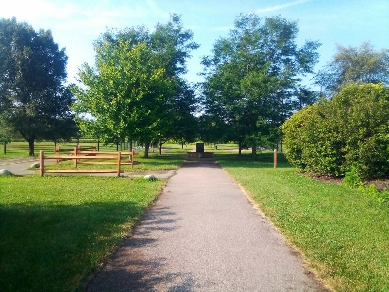
Photographed by Craig Doda, July 3, 2019
3. Greg Snyder Marker
Credits. This page was last revised on February 6, 2023. It was originally submitted on February 21, 2021, by Craig Doda of Napoleon, Ohio. This page has been viewed 412 times since then and 26 times this year. Photos: 1, 2, 3. submitted on February 21, 2021, by Craig Doda of Napoleon, Ohio. • Devry Becker Jones was the editor who published this page.
