Miamitown in Hamilton County, Ohio — The American Midwest (Great Lakes)
Morgan's First Skirmish in Ohio
Photographed by Craig Doda, July 3, 2019
1. Morgan's First Skirmish in Ohio Marker
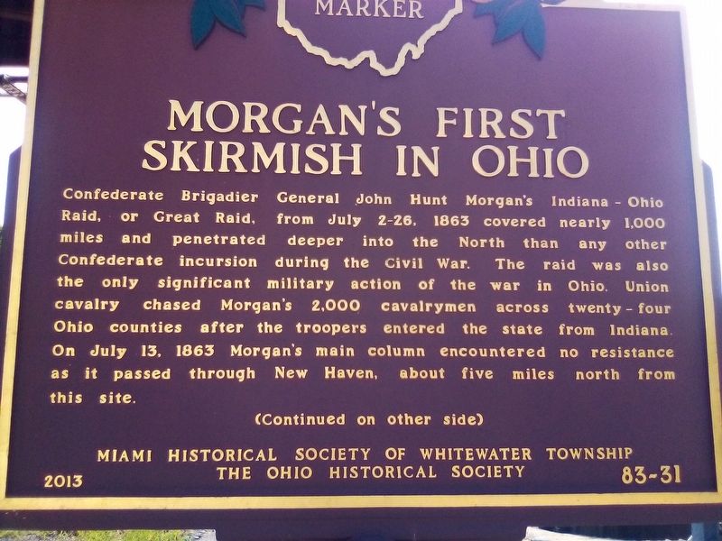
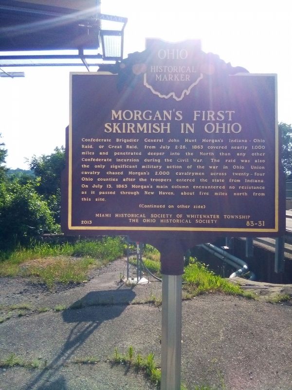
Confederate Brigadier General John Hunt Morgan's Indiana-Ohio Raid, or Great Raid, from July 2-26, 1863 covered nearly 1,000 miles and penetrated deeper into the North than any other Confederate incursion during the Civil War. The raid was also the only significant military action of the war in Ohio. Union cavalry chased Morgan's 2,000 cavalrymen across twenty-four Ohio counties after the troopers entered the state from Indiana. On July 13, 1863 Morgan's main column encountered no resistance as it passed through New Haven, about five miles north from this site.
(Continued on other side)
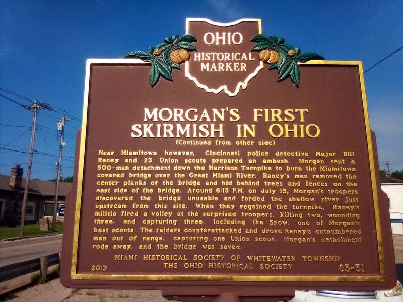
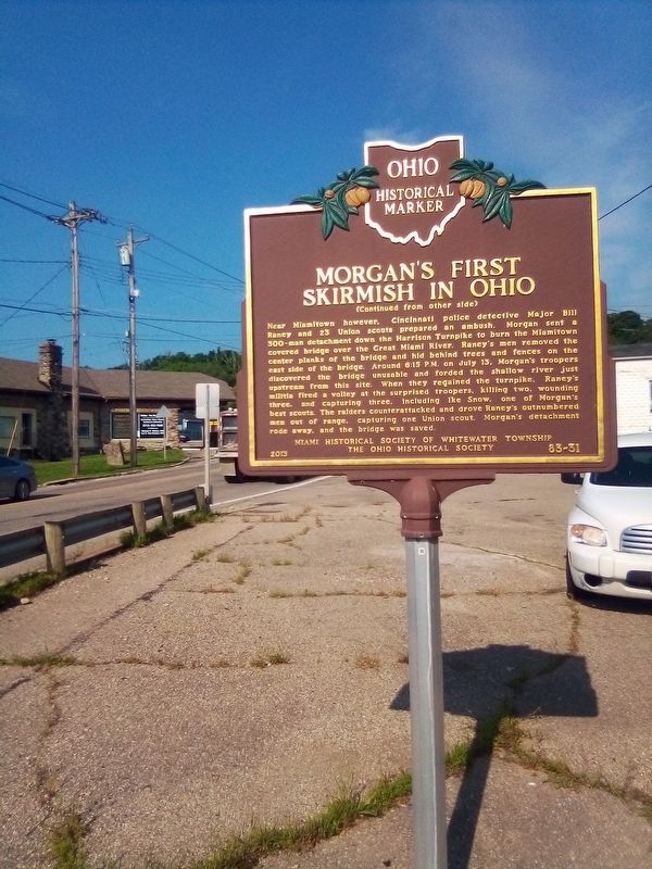
(Continued from other side)
Near Miamitown however, Cincinnati police detective Major Bill Raney and 23 Union Scouts prepared an ambush. Morgan sent a 500-man detachment down the Harrison Turnpike to burn the Miamitown covered bridge over the Great Miami River. Raney's men removed the center planks of the bridge and hid behind trees and fences on the east side of the bridge. Around 6:15 P.M. on July 13, Morgan's troopers discovered the bridge unusable and forded the shallow river just upstream from this site. When they regained the
this page online
Erected 2013 by Miami Historical Society of Whitewater Township and The Ohio Historical Society. (Marker Number 83-31.)
Topics and series. This historical marker is listed in this topic list: War, US Civil. In addition, it is included in the Ohio Historical Society / The Ohio History Connection series list. A significant historical month for this entry is July 1863.
Location. 39° 12.971′ N, 84° 42.235′ W. Marker is in Miamitown, Ohio, in Hamilton County. It is at the intersection of Harrison Avenue and Gieringer Drive, on the right when traveling west on Harrison Avenue. Touch for map. Marker is in this post office area: Miamitown OH 45041, United States of America. Touch for directions.

Regionally, this marker is in Greater Cincinnati. It is also in the American Midwest and in the Ohio River Valley. Globally,
Photographed by Craig Doda, July 3, 2019
2. Morgan's First Skirmish in Ohio Marker Reverse
Other nearby markers. At least 8 other markers are within 6 miles of this marker, measured as the crow flies: George Little House (a few steps from this marker); Site of Internment Camp Lochry’s Expedition, 1781 (approx. 3½ miles away); Good Will Fresh Air Camp (approx. 3.9 miles away); “To commemorate the services of the citizens of Cleves” (approx. 4.6 miles away); William Henry Harrison and the Cincinnati & Whitewater Canal (approx. 4.9 miles away); Benjamin Harrison / William Henry Harrison (approx. 5.1 miles away); The First Link (approx. 5.1 miles away); North Bend (approx. 5.1 miles away).
Photographed by Craig Doda, July 3, 2019
3. Morgan's First Skirmish in Ohio Marker
Photographed by Craig Doda, July 3, 2019
4. Morgan's First Skirmish in Ohio Marker Reverse
Credits. This page was last revised on June 21, 2023. It was originally submitted on February 21, 2021, by Craig Doda of Napoleon, Ohio. This page has been viewed 1,567 times since then and 146 times this year. Last updated on June 7, 2023, by Grant & Mary Ann Fish of Galloway, Ohio. Photos: 1, 2, 3, 4. submitted on February 21, 2021, by Craig Doda of Napoleon, Ohio. • J. Makali Bruton was the editor who published this page.
