Knoxville in Knox County, Tennessee — The American South (East South Central)
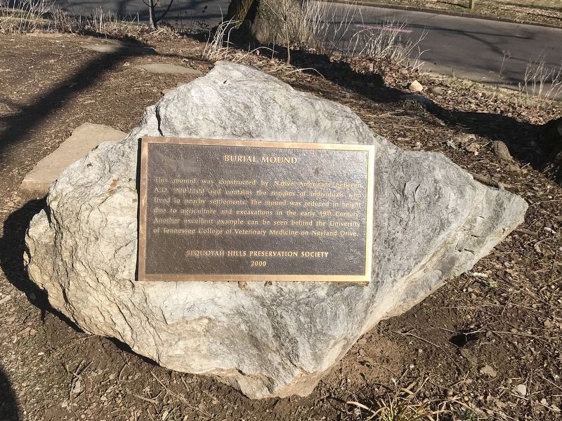
Burial Mound
Erected 2000 by Sequoyah Hills Preservation Society.
Topics. This historical marker is listed in these topic lists: Cemeteries & Burial Sites • Native Americans.
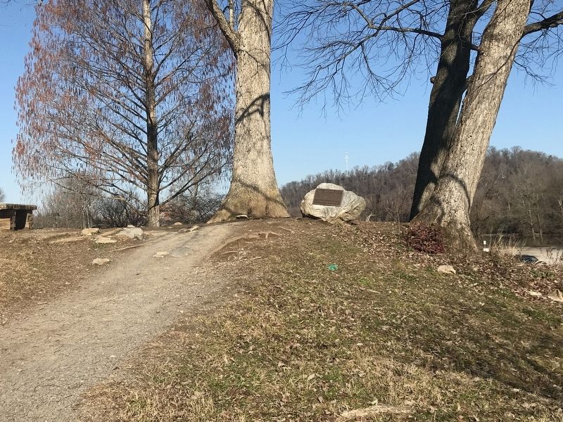
Location. 35° 55.697′ N, 83° 57.566′ W. Marker is in Knoxville, Tennessee, in Knox County. Marker is on Cherokee Boulevard Southwest, 0.1 miles north of Kenesaw Avenue, in the median. Marker is along Sequoyah Greenway. Touch for map. Marker is at or near this postal address: 1600 Cherokee Boulevard Southwest, Knoxville TN 37919, United States of America. Touch for directions.
Other nearby markers. At least 8 other markers are within 2 miles of this marker, measured as the crow flies. Indian Mound (within shouting distance of this marker); Bleak House (approx. 1˝ miles away); Longstreet's Headquarters (approx. 1˝ miles away); War Dog Memorial (approx. 1.6 miles away); The Everly Brothers (approx. 1.6 miles away); Sutherland Avenue McGhee Tyson Airport (approx. 1.6 miles away); Medal of Honor Recipients (approx. 1.7 miles away); UT RecSports Complex (approx. 1.7 miles away). Touch for a list and map of all markers in Knoxville.
Credits. This page was last revised on February 21, 2021. It was originally submitted on February 21, 2021, by Duane and Tracy Marsteller of Murfreesboro, Tennessee. This page has been viewed 480 times since then and 32 times this year. Photos: 1, 2. submitted on February 21, 2021, by Duane and Tracy Marsteller of Murfreesboro, Tennessee.

