Agoura Hills in Los Angeles County, California — The American West (Pacific Coastal)
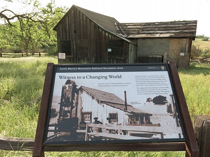
Morrison Ranch House
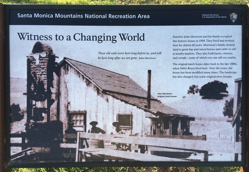
Witness to a Changing World
Rancher John Morrison and his family occupied this historic house in 1904. They lived and worked here for almost 60 years. Morrison‘s family cleared land to grow hay and raised horses and cattle to sell at nearby markets. They also built barns, cisterns, and corrals — some of which you can still see nearby.
The original ranch house dates back to the late 1800s, when Pablo Reyes lived here. Over the years, the house has been modified many times. The landscape has also changed, but some original trees remain.
Erected by National Park Service.
Topics. This historical marker is listed in these topic lists: Agriculture • Hispanic Americans • Industry & Commerce.
Location. 34° 9.266′ N, 118° 43.631′ W. Marker is in Agoura Hills, California, in Los Angeles County. Marker can be reached from Chesebro Road, half a mile north of U.S. 101, on the right when traveling north. To reach the marker, walk a half mile up the Chesebro Canyon MTB Trail to the site. Touch for map. Marker is in this post office area: Agoura Hills CA 91301, United States of America. Touch for directions.
Other nearby markers. At least 8 other markers are within 4 miles of this marker, measured as the crow flies. Calabasas Schoolhouse Bell (approx. 2 miles away); Ladyface Mountain (approx. 2.9 miles away); Reyes Adobe Historical Site (approx. 3.1 miles away); Paramount Ranch (approx. 3.2 miles away); Reagan Ranch (approx. 3.2 miles away); King Gillette Ranch (approx. 3.7 miles away); Century Ranch (approx. 3.9 miles away); Upper Las Virgenes Canyon (approx. 4 miles away). Touch for a list and map of all markers in Agoura Hills.
Credits. This page was last revised on January 30, 2023. It was originally submitted on January 27, 2021, by Craig Baker of Sylmar, California. This page has been viewed 634 times since then and 92 times this year. Last updated on February 21, 2021, by Craig Baker of Sylmar, California. Photos: 1. submitted on February 21, 2021, by Craig Baker of Sylmar, California. 2. submitted on January 27, 2021, by Craig Baker of Sylmar, California. 3. submitted on February 21, 2021, by Craig Baker of Sylmar, California. • J. Makali Bruton was the editor who published this page.


