Near Manassas in Prince William County, Virginia — The American South (Mid-Atlantic)
The Fight for Ricketts' Guns
First Battle of Manassas
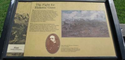
Up to that moment the Confederates appeared to be losing the battle, and possibly the war. Here the momentum shifted. At Henry House and other stops on the tour, exhibits reveal how the battle rushed toward the unexpected climax at Ricketts’ guns.
Topics. This historical marker is listed in this topic list: War, US Civil.
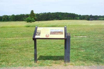
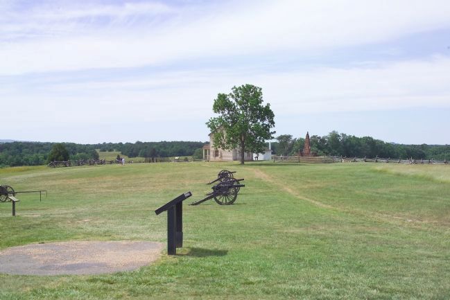
Location. This marker has been replaced by another marker nearby. It was located near 38° 48.829′ N, 77° 31.328′ W. Marker was near Manassas, Virginia, in Prince William County. Marker could be reached from Sudley Road (Virginia Route 234) half a mile south of Lee Highway (Interstate 29), on the right when traveling north. The marker is at a wayside on the Henry House Hill trail, which starts at the Manassas National Battlefield Park visitor center. Touch for map. Marker was in this post office area: Manassas VA 20109, United States of America. Touch for directions.
Other nearby markers. At least 8 other markers are within walking distance of this location. Artillery Duel (here, next to this marker); Position 7th G.A. Regt. (a few steps from this marker); 7th Georgia Markers (within shouting distance of this marker); Henry Hill (within shouting distance of this marker); Lieutenant Ramsey (about 300 feet away, measured in a direct line); The War Over Memory (about 400 feet away); 1st Battle of Bull Run Memorial (about 400 feet away); Honoring the Dead (about 400 feet away). Touch for a list and map of all markers in Manassas.
More about this marker. On the lower portion of the marker is a portrait of Captain James B. Ricketts, Company I, 1st U.S. Artillery, with the caption In the Confederate charge, Ricketts was badly wounded in the leg, captured, and taken to Confederate headquarters at the nearby Lewis plantation. Above the portrait to the right is a painting depicting the loss of Ricketts' Guns.
This marker was replaced by a new one named Artillery Duel (see nearby markers).
Also see . . .
1. General James B. Ricketts. This page has a portrait of New York native General Ricketts (scroll down to see it), who was Captain during the First Battle of Bull Run. (Submitted on March 18, 2007.)
2. James Brewerton Ricketts, Major General, United States Army. (Submitted on March 18, 2007.)
Additional keywords.
First Battle of Bull Run. 1st Bull Run. 1st Manassas. Ricketts’ cannon, Rickett's cannon, Ricketts' cannon, Union Captain J. B. Ricketts.
Credits. This page was last revised on March 29, 2022. It was originally submitted on March 18, 2007, by Tom Fuchs of Greenbelt, Maryland. This page has been viewed 2,470 times since then and 27 times this year. Last updated on March 26, 2022, by Connor Olson of Kewaskum, Wisconsin. Photos: 1. submitted on June 8, 2008, by Craig Swain of Leesburg, Virginia. 2, 3. submitted on March 18, 2007, by Tom Fuchs of Greenbelt, Maryland. • Bernard Fisher was the editor who published this page.


