Dewville in Gonzales County, Texas — The American South (West South Central)
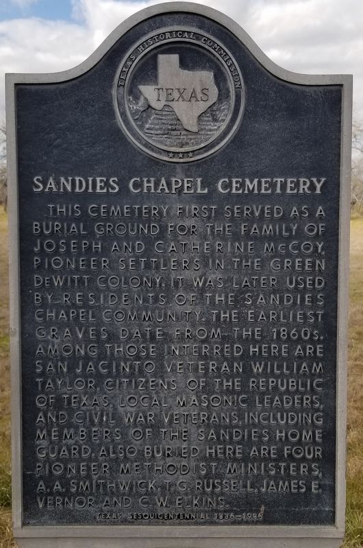
Sandies Chapel Cemetery
This cemetery first served as a burial ground for the family of Joseph and Catherine McCoy, pioneer settlers in the Green DeWitt Colony. It was later used by residents of the Sandies Chapel community. The earliest graves date from the 1860s. Among those interred here are San Jacinto veteran William Taylor, citizens of the Republic of Texas, local Masonic leaders, and Civil War veterans, including members of the Sandies Home Guard. Also buried here are four pioneer Methodist ministers, A.A. Smithwick, T.G. Russell, James E. Vernor, and C.W. Elkins.
Texas Sesquicentennial 1836 - 1986
Erected 1986 by Texas Historical Commission. (Marker Number 4566.)
Topics. This historical marker is listed in this topic list: Cemeteries & Burial Sites. A significant historical year for this entry is 1836.
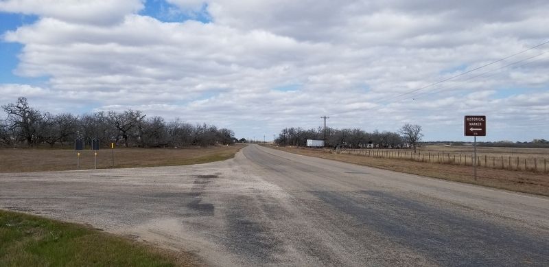
Location. 29° 22.566′ N, 97° 48.484′ W. Marker is in Dewville, Texas, in Gonzales County. Marker is at the intersection of Farm to Market Road 1117 and County Highway 543, on the right when traveling south on Highway 1117. Touch for map. Marker is in this post office area: Nixon TX 78140, United States of America. Touch for directions.
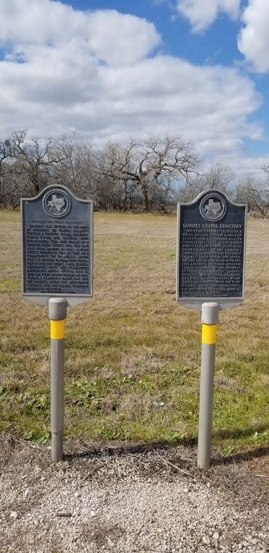
Other nearby markers. At least 8 other markers are within 5 miles of this marker, measured as the crow flies. Sandies-Dewville Community (here, next to this marker); Dewville United Methodist Church (approx. ¼ mile away); 1835 Attack at Sandies Water Hole (approx. 3½ miles away); Gonzales - San Antonio Road (approx. 3½ miles away); Albuquerque (approx. 4½ miles away); Site of Old Town of Union Valley (approx. 4½ miles away); Rev. Alejo Hernández (approx. 4.8 miles away); Leesville Baptist Church (approx. 4.9 miles away). Touch for a list and map of all markers in Dewville.
Also see . . . DeWitt's Colony.
The government approved the grant on April 15 in Saltillo, Coahuila. DeWitt's colony was to be adjacent to and southwest of Austin's grant. Its boundaries were vaguely defined on the basis of inaccurate maps as the right bank of the Arroyo de la Vaca (Lavaca River) beginning at a point ten leagues from the coast (the government forbade all colonization within ten leagues of the Gulf Coast), running up the river to the Bexar-Nacogdoches road and then up the road to a point two leagues west of the Guadalupe River (approximately the divide between the Guadalupe and San Antonio rivers), then extending parallel to the Guadalupe River to the Paraje de las Mosquitos (a point again ten leagues from the coast), thence returning to the Lavaca River. Source: The Handbook of Texas(Submitted on February 26, 2021, by James Hulse of Medina, Texas.)
Credits. This page was last revised on February 26, 2021. It was originally submitted on February 25, 2021, by James Hulse of Medina, Texas. This page has been viewed 295 times since then and 30 times this year. Photos: 1, 2, 3. submitted on February 26, 2021, by James Hulse of Medina, Texas.


