Near Nixon in Gonzales County, Texas — The American South (West South Central)
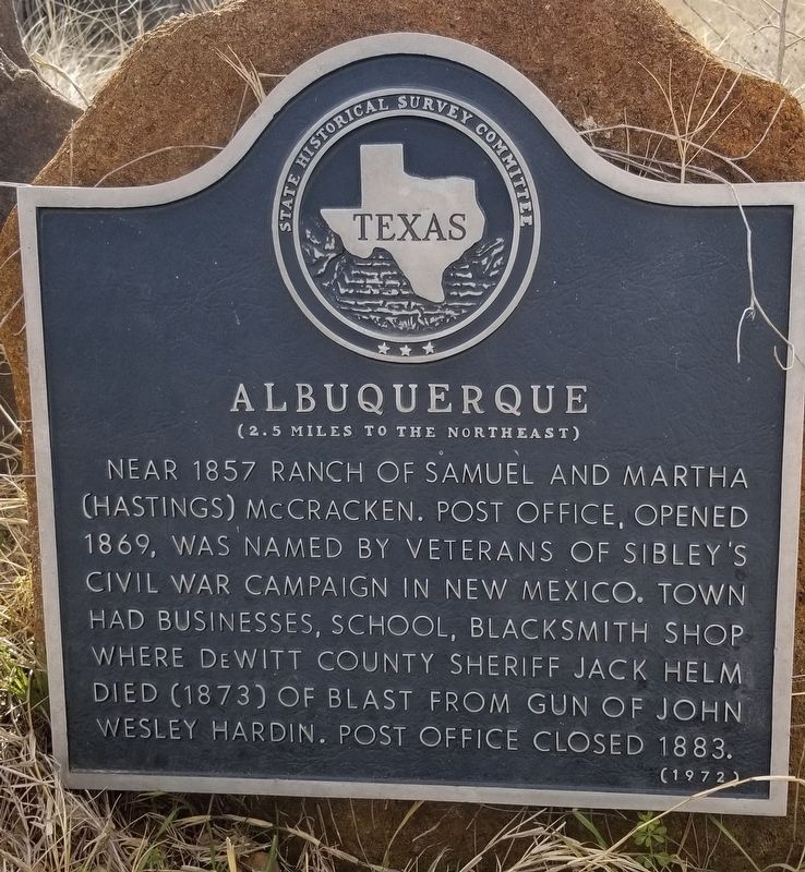
Albuquerque
(2.5 Miles to the Northeast )
Near 1857 Ranch of Samuel and Martha (Hastings) McCracken. Post office, opened 1869, was named by veterans of Sibley's Civil War campaign in New Mexico. Town had businesses, school, blacksmith shop where DeWitt County Sheriff Jack Helm died (1873) of blast from gun of John Wesley Hardin. Post office closed 1883.
Erected 1972 by State Historical Survey Committee. (Marker Number 104.)
Topics. This historical marker is listed in these topic lists: Industry & Commerce • Law Enforcement • Railroads & Streetcars • Settlements & Settlers. A significant historical year for this entry is 1857.
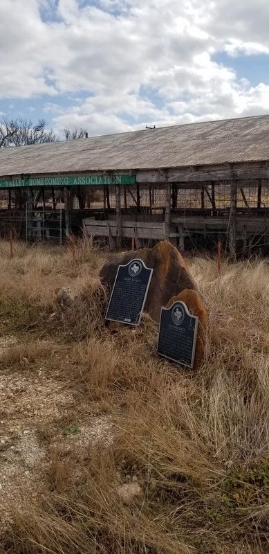
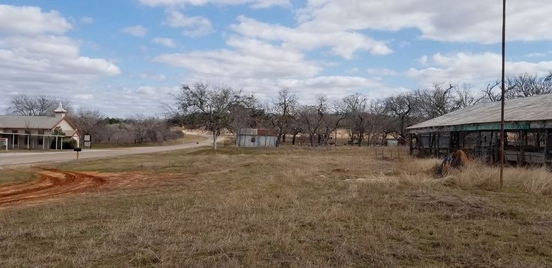
Location. 29° 19.175′ N, 97° 50.632′ W. Marker is near Nixon, Texas, in Gonzales County. Marker is at the intersection of Farm to Market Road 1681 and County Highway 449, on the left when traveling west on Highway 1681. The marker is located in front of the Union Valley Homecoming Association building. Touch for map. Marker is in this post office area: Nixon TX 78140, United States of America. Touch for directions.
Other nearby markers. At least 8 other markers are within 7 miles of this marker, measured as the crow flies. Site of Old Town of Union Valley (here, next to this marker); Site of Nockenut (approx. 3.1 miles away); Sandies-Dewville Community (approx. 4½ miles away); Sandies Chapel Cemetery (approx. 4½ miles away); Dewville United Methodist Church (approx. 4.6 miles away); Rancho (approx. 5.1 miles away); First Baptist Church of Nixon (approx. 5.9 miles away); 1835 Attack at Sandies Water Hole (approx. 7.1 miles away). Touch for a list and map of all markers in Nixon.
Also see . . .
1. Sibley Campaign.
The Confederate Texan invasion of New Mexico Territory in 1861–62 was the westernmost campaign of the Civil War. In June 1861 President Jefferson Davis appointed Henry Hopkins Sibley, a former regular army officer, a brigadier general and authorized him to recruit a brigade of volunteers in central and south Texas to occupy the adjacent federal territories. Sibley planned an ambitious campaign. He intended to march north from El Paso, occupy New Mexico, seize the rich mines of Colorado Territory, then turn west through Salt Lake City, and take over the seaports of Los Angeles and San Diego. By one stroke, with a minimal force living off the land, Sibley would bring the entire Southwest under Confederate control. Source: The Handbook of Texas(Submitted on February 26, 2021, by James Hulse of Medina, Texas.)
2. Jack Helm
.
On May 17, 1873, the outlaw, John Wesley Hardin, an ally of the Taylor family, played a part in the death of Helm in Albuquerque, Texas. Reportedly, Hardin, Helm and Sam McCracken, an acquaintance of Helm and Albuquerque's first settler, were talking in front of a blacksmith shop. Helm had recently moved to area in order to perfect a cotton-worm destroyer which he had invented. He was living at a boarding house, and found himself unarmed when confronted by Hardin, having left his guns in his room while working on his invention at the blacksmith shop. Source: Wikipedia(Submitted on February 26, 2021, by James Hulse of Medina, Texas.)
Credits. This page was last revised on February 27, 2021. It was originally submitted on February 26, 2021, by James Hulse of Medina, Texas. This page has been viewed 235 times since then and 25 times this year. Photos: 1, 2, 3. submitted on February 26, 2021, by James Hulse of Medina, Texas.


