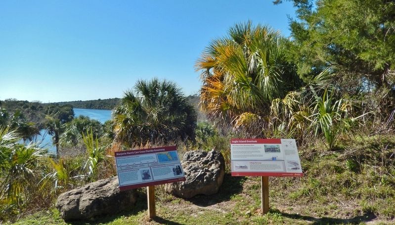
Near Inglis in Levy County, Florida — The American South (South Atlantic)
Inglis Island Overlook
Marjorie Harris Carr Cross Florida Greenway
Bisecting a State, Bisecting a River
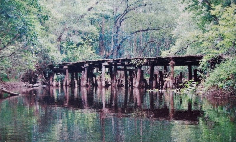
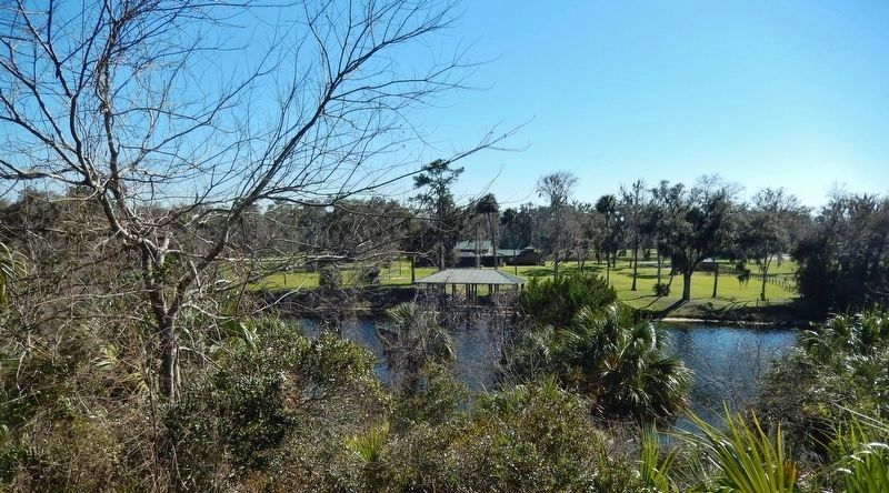
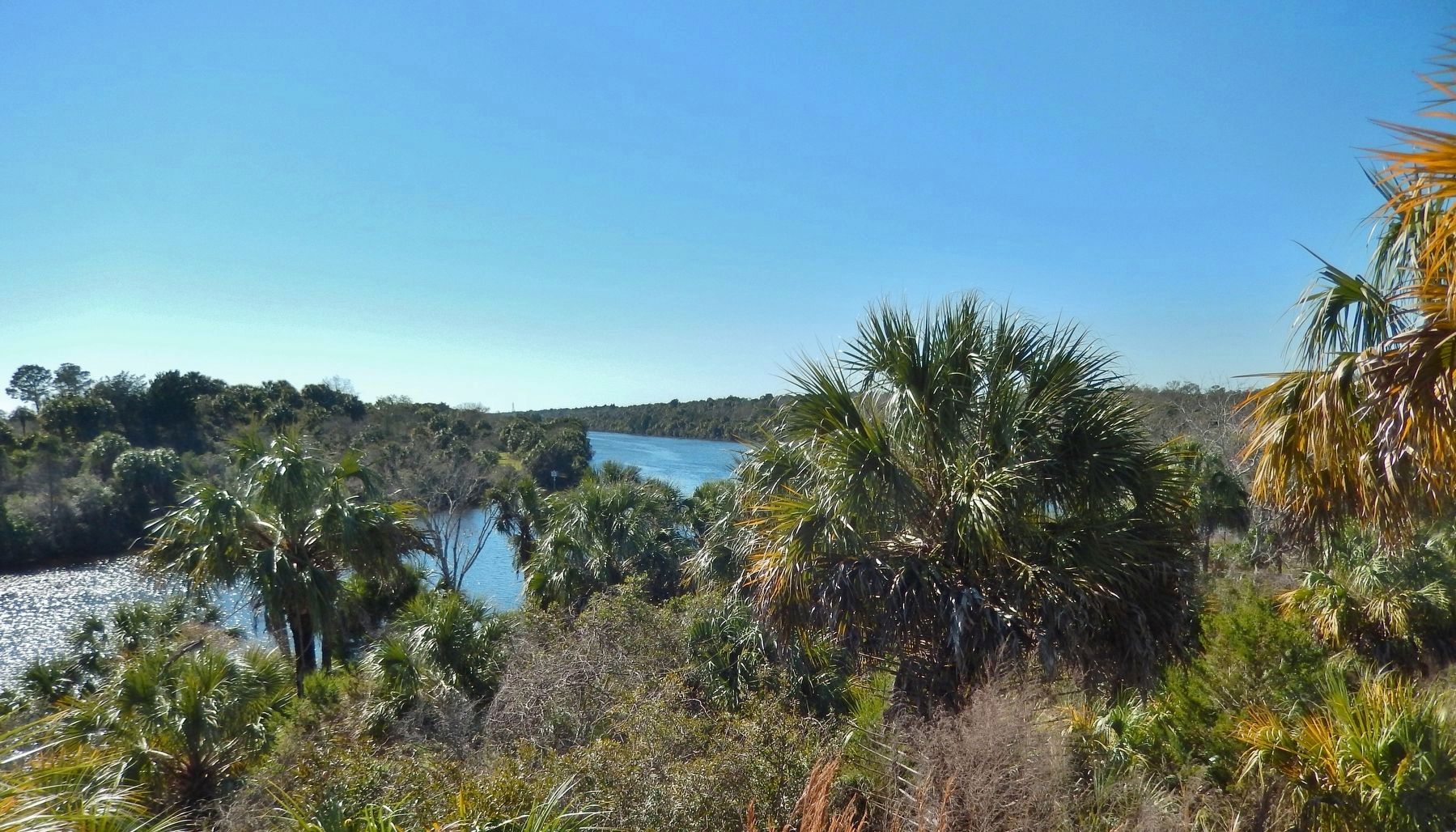
Inglis Island sits at the center of the Withlacoochee River, Lake Rousseau, and the Cross Florida Barge Canal. From here you can see where the canal bisected the river. Look for an earth and concrete berm on the opposite bank.
The U.S. Army Corps of Engineers built this berm to stop floodwater from entering the river if Inglis Dam failed. In the 21st century, the Florida Park Service raised the berm and added a concrete wall.
The canal also bisected the Ocklawaha River. The Withlacoochee and Ocklawaha rivers both emerge from the Green Swamp. Marjorie Harris Carr was alarmed by the canal's effect on these two rivers.
A Barge Too Large
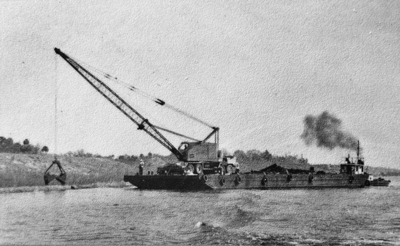
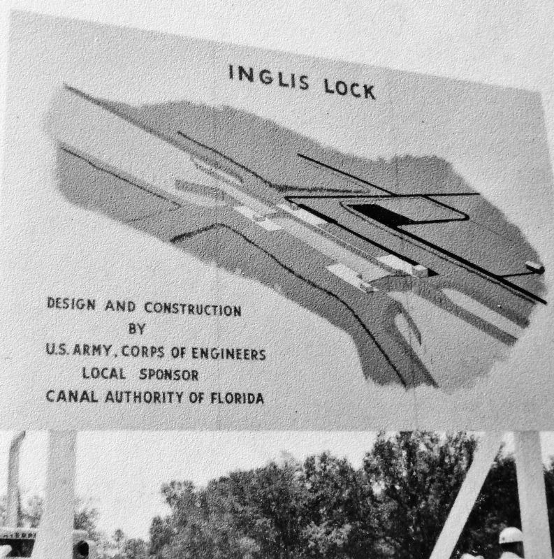
In July 1970, the Florida Canal Authority planned a demonstration for reporters and leaders. The 350-foot barge, Aiple, would navigate the canal. In their rush to finish, builders did not realize that the Aiple was too large to pass through Inglis Lock and the canal. The barge got stuck sideways for hours. The incident raised questions about the canal's benefits to the state.
Erected by Florida State Parks.
Topics. This historical marker is listed in these topic lists: Environment • Waterways & Vessels. A significant historical month for this entry is July 1970.
Location. 29° 1.104′ N, 82° 38.224′ W. Marker is near Inglis, Florida, in Levy County. Marker can be reached from West Riverwood Drive, 1.7 miles east of North Basswood Avenue, on the left when traveling east. Marker is located within the Inglis Dam Recreation Area, at the west end of the paved multi-use trail, overlooking the Withlacoochee River intersection with the Cross Florida Barge Canal, about 2 miles west of the park entrance on West Riverwood Drive. Touch for map. Marker is at or near this postal address: 10905 West Riverwood Drive, Crystal River FL 34428, United States of America. Touch for directions.
Other nearby markers. At least 8 other markers are within 9 miles of this marker, measured as the crow flies. Inglis Bypass Spillway (approx. 0.2 miles away); Felburn Park (approx. 1.3 miles away); Inglis Lock (approx. 1.3 miles away); Inglis Main Dam (approx. 1.4 miles away); Withlacoochee Bay Trail (approx. 6.1 miles away); Historic Crystal River Train Depot (approx. 8˝ miles away); Crystal Street Historic Oak Canopy (approx. 8˝ miles away); Kings Bay Park (approx. 8.8 miles away). Touch for a list and map of all markers in Inglis.
More about this marker. Access to the marker is via foot or bicycle on the paved multi-use trail. Adjacent marker, "Marjorie Harris Carr Cross Florida Greenway," is replicated at multiple locations along the greenway.
Related markers.
Click here for a list of markers that are related to this marker. Marjorie Harris Carr Cross Florida Greenway
Also see . . .
1. Inglis Dam & Island Recreation Area. The Withlacoochee River segment runs 1.5 miles from below the Main Dam and Spillway to the barge canal channel. This segment of the old river can have high freshwater flows if significant discharges from the lake are needed, but often there is little or no flow and the river can be tidally influenced from the Gulf of Mexico. (Submitted on February 27, 2021, by Cosmos Mariner of Cape Canaveral, Florida.)
2. Cross Florida Barge Canal (Wikipedia). Opponents campaigned against the canal on environmental grounds, and a lawsuit was filed against the Army Corps by the Florida Defenders of the Environment and the Environmental Defense Fund. The lawsuit resulted in a temporary injunction against the project in January 1971 and days later was halted by President Richard Nixon's signing of an executive order. (Submitted on February 27, 2021, by Cosmos Mariner of Cape Canaveral, Florida.)
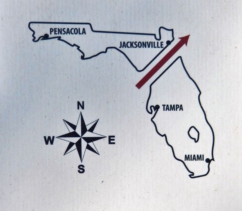
6. Marker detail: Marjorie Harris Carr Cross Florida Greenway
The Marjorie Harris Carr Cross Florida Greenway sits on land purchased in the 20th century for a shipping canal across the state. The prolonged political struggle over the canal shows how dreams of progress and preservation shaped Florida.
Credits. This page was last revised on March 7, 2021. It was originally submitted on February 26, 2021, by Cosmos Mariner of Cape Canaveral, Florida. This page has been viewed 282 times since then and 26 times this year. Photos: 1, 2, 3, 4, 5, 6, 7, 8. submitted on February 27, 2021, by Cosmos Mariner of Cape Canaveral, Florida.
