Near Inglis in Levy County, Florida — The American South (South Atlantic)
Inglis Main Dam
Marjorie Harris Carr Cross Florida Greenway
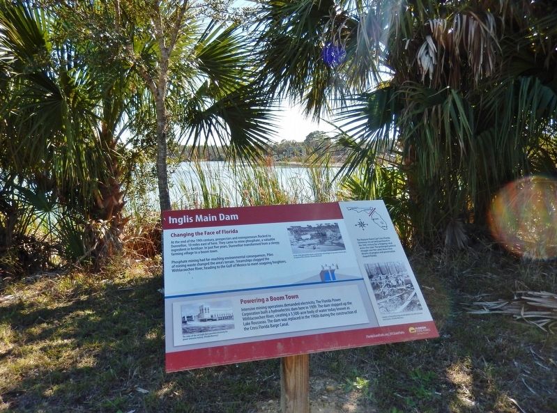
Changing the Face of Florida
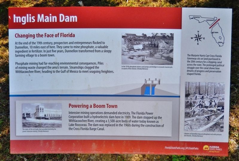
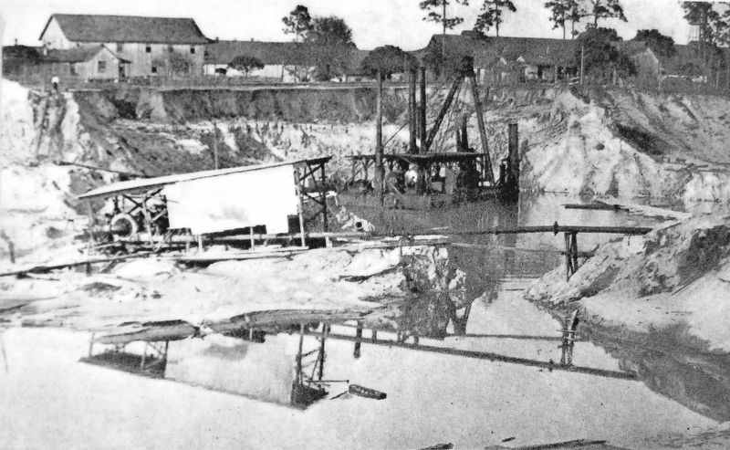
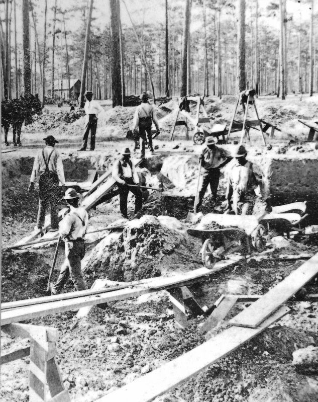
At the end of the 19th century, prospectors and entrepreneurs flocked to Dunnellon, 10 miles east of here. They came to mine phosphate, a valuable ingredient in fertilizer. In just five years, Dunnellon transformed from a sleepy farming village to a boom town.
Phosphate mining had far-reaching environmental consequences. Piles of mining waste changed the area's terrain. Steamships clogged the Withlacoochee River, heading to the Gulf of Mexico to meet seagoing freighters.
Powering a Boom Town
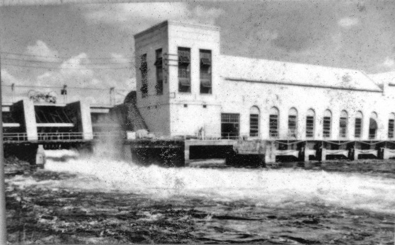
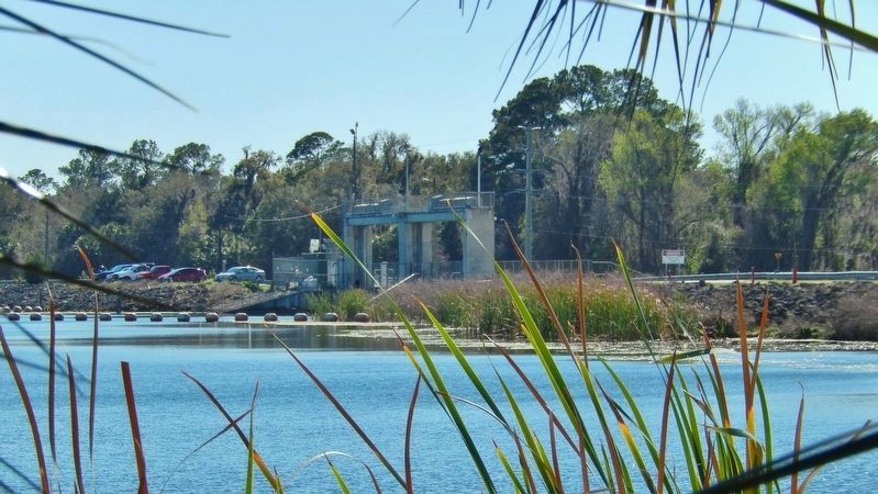
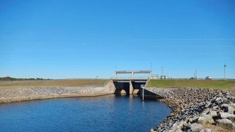
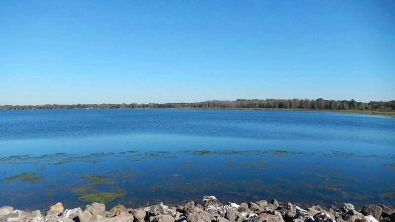
Intensive mining operations demanded electricity. The Florida Power Corporation built a hydroelectric dam here in 1909. The dam stopped up the Withlacoochee River, creating a 3,500-acre body of water today known as Lake Rousseau. The dam was replaced in the 1960s during the construction of the Cross Florida Barge Canal.
Erected by Florida State Parks.
Topics. This historical marker is listed in these topic lists: Environment • Industry & Commerce • Settlements & Settlers • Waterways & Vessels. A significant historical year for this entry is 1909.
Location. 29° 0.671′ N, 82° 36.917′ W. Marker is near Inglis, Florida, in Levy County. Marker can be reached from West Riverwood Drive , 1.7 miles east of North Basswood Avenue, on the left when traveling east. Marker is located within the Inglis Dam Recreation Area, on the north side of Lake Rousseau, overlooking the dam, about 4/10 mile north of the park entrance on West Riverwood Drive. Touch for map. Marker is at or near this postal address: 10905 West Riverwood Drive, Crystal River FL 34428, United States of America. Touch for directions.
Other nearby markers. At least 8 other markers are within 8 miles of this marker, measured as the crow flies. Inglis Lock (approx. 0.9 miles away); Inglis Island Overlook (approx. 1.4 miles away); Inglis Bypass Spillway (approx. 1˝ miles away); Felburn Park (approx. 2˝ miles away); Withlacoochee Bay Trail (approx. 7.3 miles away); Historic Crystal River Train Depot (approx. 7.7 miles away); Crystal Street Historic Oak Canopy (approx. 7.7 miles away); Kings Bay Park (approx. 8 miles away). Touch for a list and map of all markers in Inglis.
More about this marker. Nearby marker, "Marjorie Harris Carr Cross Florida Greenway," is replicated at multiple locations along the greenway.
Related markers. Click here for a list of markers that are related to this marker. Marjorie Harris Carr Cross Florida Greenway
Also see . . .
1. Inglis Dam & Island Recreation Area. Lake Rousseau was originally flooded in the early 1900s with a hydro-electric dam. The Inglis Main Dam, the larger of two spillway
structures for Lake Rousseau, is located at this site and provides an access bridge onto Inglis Island’s south side. (Submitted on February 26, 2021, by Cosmos Mariner of Cape Canaveral, Florida.)
2. Lake Rousseau (Wikipedia). Lake Rousseau is a reservoir on the Withlacoochee River in central Florida. Florida Power Corp operated a hydroelectric plant from 1909 to 1965 at the western end of the lake. Power output was approximately 7.45 MW. (Submitted on February 26, 2021, by Cosmos Mariner of Cape Canaveral, Florida.)
Credits. This page was last revised on March 7, 2021. It was originally submitted on February 26, 2021, by Cosmos Mariner of Cape Canaveral, Florida. This page has been viewed 735 times since then and 79 times this year. Photos: 1, 2, 3, 4, 5, 6, 7, 8, 9. submitted on February 26, 2021, by Cosmos Mariner of Cape Canaveral, Florida.
