Death Valley National Park in Inyo County, California — The American West (Pacific Coastal)
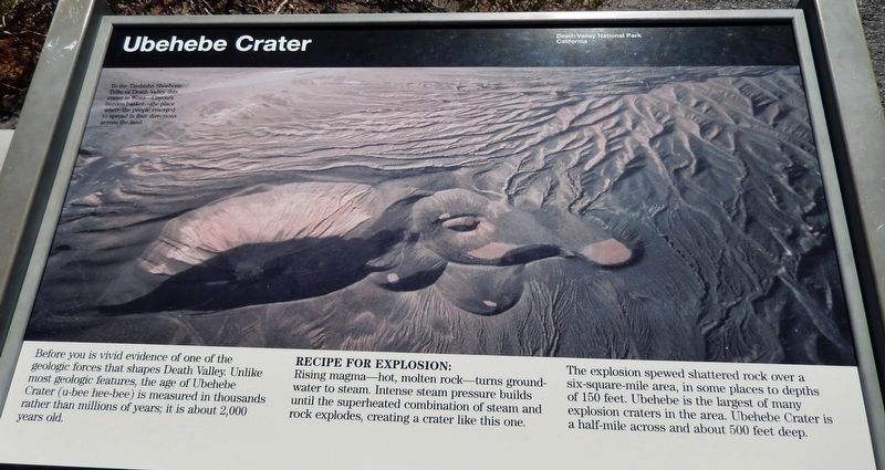
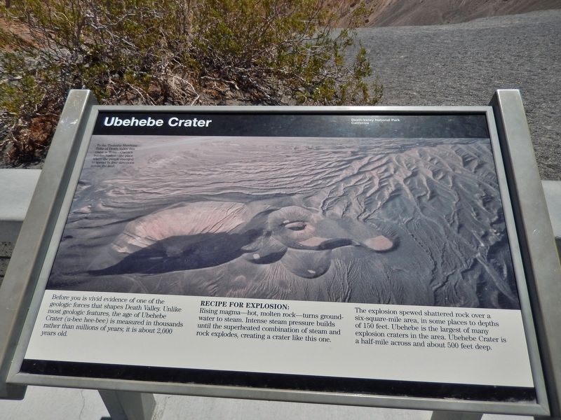
Ubehebe Crater
Death Valley National Park
Recipe for Explosion:
Rising magma — hot, molten rock — turns groundwater to steam. Intense steam pressure builds until the superheated combination of steam and rock explodes, creating a crater like this one.
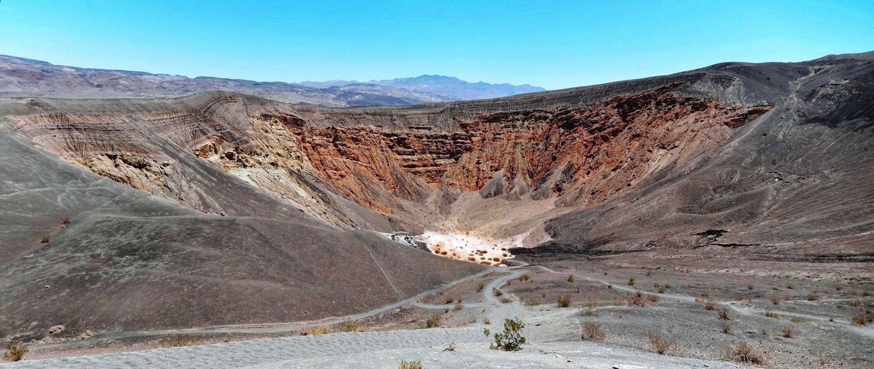
The explosion spewed shattered rock over a six-square-mile area, in some places to depths of 150 feet. Ubehebe is the largest of many explosion craters in the area. Ubehebe Crater is a half-mile across and about 500 feet deep.
photo caption:
To the Timbisha Shoshone Tribe of Death Valley this crater is Wosa — Coyote’s burden basket — the place where the people emerged to spread in four directions across the land.
Erected by National Park Service, U.S. Department of the Interior.
Topics. This historical marker is listed in this topic list: Natural Features.
Location. 37° 0.65′ N, 117° 27.289′ W. Marker is in Death Valley National Park, California, in Inyo County. Marker is on Ubehebe Crater Road, 2.8 miles west of Scotty’s Castle Road. Marker is located at the parking lot next to Ubehebe Crater. Touch for map. Marker is in this post office area: Death Valley CA 92328, United States of America. Touch for directions.
Other nearby markers. At least 1 other marker is within 5 miles of this marker, measured as the crow flies. Scotty’s Castle (approx. 5 miles away).
Also see . . . Ubehebe Crater. Ubehebe Crater is a large volcanic crater 600 feet deep and half a mile across. We often hear mistakenly that "Ubehebe" means "big basket", but the Paiute name Ubehebe was first applied to the 5,678 ft. Ubehebe Peak, 24 miles southwest of the crater. How the name Ubehebe became associated with the crater is not known. To the Timbisha Shoshone Indians, the crater has been known as "Tem-pin-tta- Wo’sah", meaning Coyote’s Basket. (Submitted on May 21, 2020, by Cosmos Mariner of Cape Canaveral, Florida.)
Credits. This page was last revised on April 14, 2022. It was originally submitted on May 20, 2020, by Cosmos Mariner of Cape Canaveral, Florida. This page has been viewed 392 times since then and 38 times this year. Last updated on February 26, 2021, by Craig Baker of Sylmar, California. Photos: 1, 2, 3. submitted on May 21, 2020, by Cosmos Mariner of Cape Canaveral, Florida.


