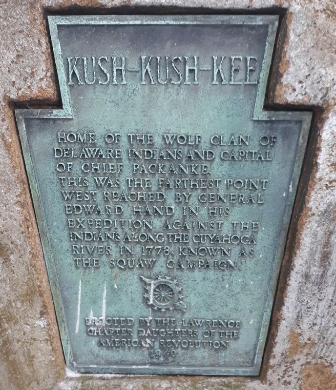
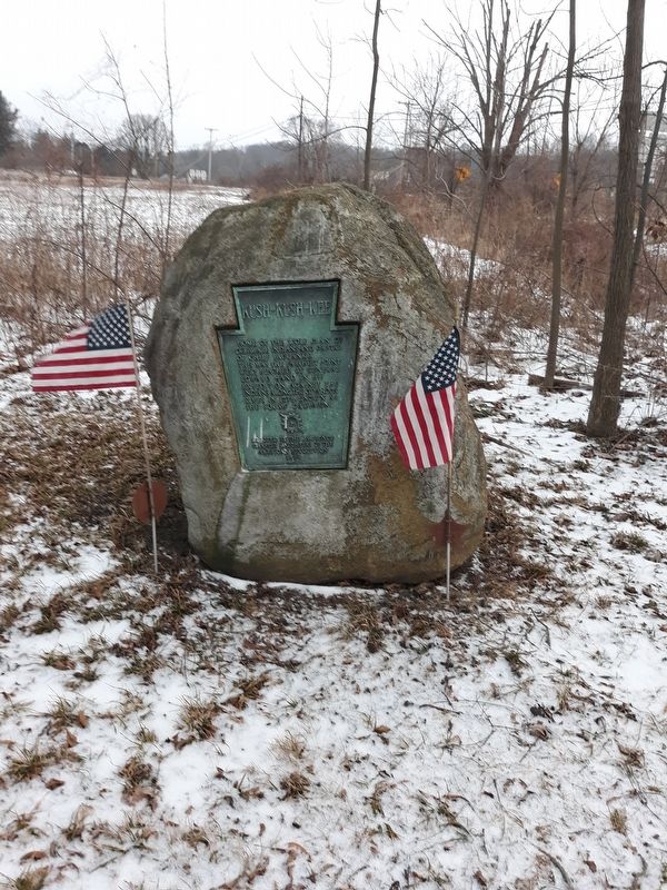
Kush-Kush-Kee
Home of the Wolf Clan of Delaware Indians and capital of Chief Packanke.
This was the farthest point west reached by General Edward Hand in his expedition against the Indians along the Cuyahoga River in 1778, known as the Squaw Campaign.
Erected 1940 by Lawrence Chapter Daughters of the American Revolution.
Topics and series. This historical marker is listed in these topic lists: Native Americans • War, French and Indian. In addition, it is included in the Daughters of the American Revolution series list. A significant historical year for this entry is 1778.
Location. 41° 0.917′ N, 80° 26.55′ W. Marker is in Edinburg, Pennsylvania, in Lawrence County. Marker is at the intersection of Jackson Street (Pennsylvania Route 551) and West State Street (U.S. 224), on the right when traveling east on Jackson Street. The marker is on the grounds of the Ashton Cemetery. Touch for map. Marker is at or near this postal address: 576 West State Street, Edinburg PA 16116, United States of America. Touch for directions.
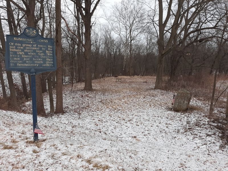
Other nearby markers. At least 8 other markers are within 3 miles of this marker, measured as the crow flies. Kuskuskies Towns (within shouting distance of this marker); Ira D. Sankey (approx. 0.3 miles away); Cross-Cut Canal (approx. 0.3 miles away); Edinburg World War II Memorial (approx. 0.4 miles away);
Credits. This page was last revised on March 1, 2021. It was originally submitted on December 29, 2020, by Craig Doda of Napoleon, Ohio. This page has been viewed 281 times since then and 40 times this year. Last updated on February 27, 2021, by Carl Gordon Moore Jr. of North East, Maryland. Photos: 1, 2, 3, 4. submitted on December 29, 2020, by Craig Doda of Napoleon, Ohio. • Bill Pfingsten was the editor who published this page.


