North Park in Billings in Yellowstone County, Montana — The American West (Mountains)
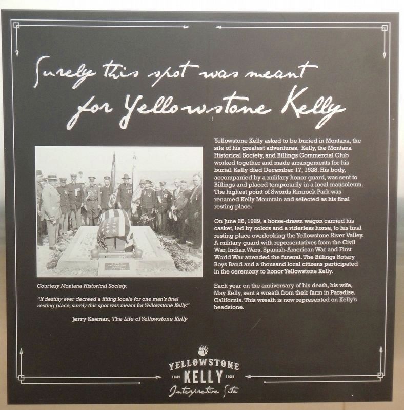
Surely this spot was meant for Yellowstone Kelley
Inscription.
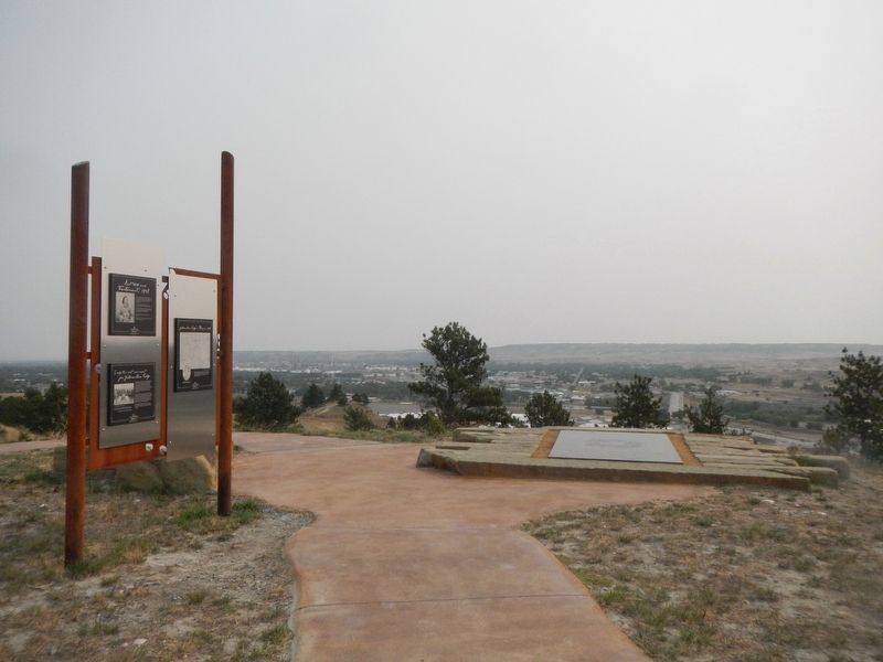
(Three panels make up this marker.)
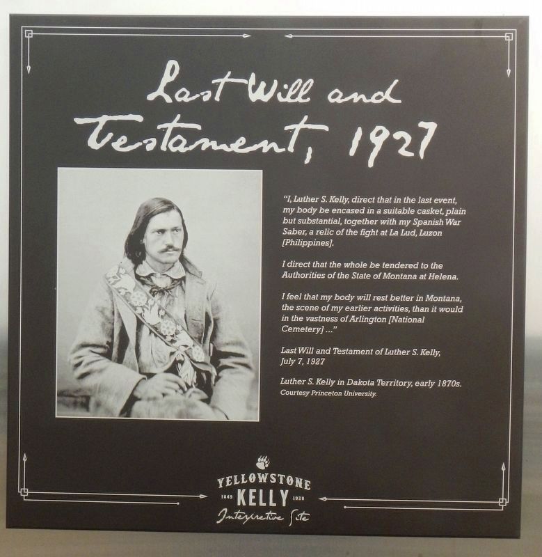
"I, Luther S. Kelly, direct that in the last event, my body be encased in a suitable casket, plain but substantial, together with my Spanish War Saber, a relic of the fight at La Lud, Luzon (Philippines).
I direct that the whole be tendered to the Authorities of the State of Montana at Helena.
If feel that my body will rest better in Montana, the scene of my earlier activities, than it would in the vastness of Arlington (National Cemetery)..." -- Last Will and Testament of Luther S. Kelly, July 7, 1927
Yellowstone Kelly asked to buried in Montana, the site of his greatest adventures. Kelly, the Montana Historical Society, and Billings Commercial Club worked together and made arrangements for his burial. Kelly died December 17, 1928. His body, accompanied by a military honor guard, was sent to Billings and place temporarily in a local mausoleum. The highest point of Swords Rimrock Park was renamed Kelly Mountain and selected as his final resting place.
On June 29, 1929, a horse-drawn wagon carried his casket, led by colors and a riderless horse, to his final resting place overlooking the Yellowstone River Valley. A military guard with representatives from the Civil War, Indian Wars, Spanish-American War and First World War attended the funeral. The Billings Rotary Boys Band and a thousand local citizens participated in the ceremony to honor Yellowstone Kelly.
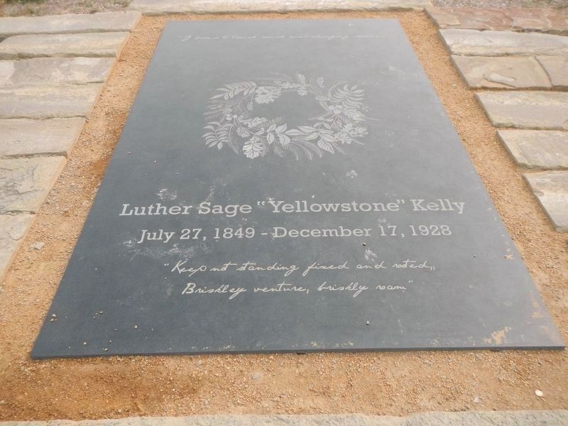
Each year on the anniversary of his death, his wife May Kelly, sent a wreath from their farm in Paradise, California. This wreath is now represented on Kelly's headstone.
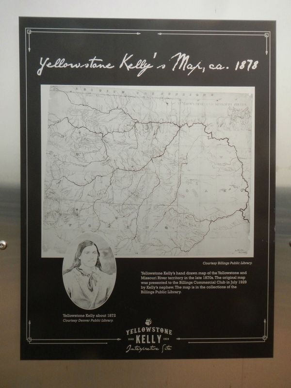
Yellowstone Kelly's hand drawn map of the Yellowstone and Missouri River territory in the late 1870s. The original map was presented to the Billings Commercial Club in July 1929 by Kelly's nephew. The map is in the collection of the Billings Public Library.
Erected by Yellowstone Kelly Interpretive Site.
Topics. This historical marker is listed in this topic list: Cemeteries & Burial Sites. A significant historical date for this entry is June 29, 1929.
Location. 45° 47.88′ N, 108° 29.329′ W. Marker is in Billings, Montana, in Yellowstone County. It is in North Park. Marker is on Chief Black Otter Trail near Rimtop Drive, on the right when traveling east. The marker is located at the Yellowstone Kelly Interpretive Site in Swords Rimrock Park. Touch for map. Marker is in this post office area: Billings MT 59101, United States of America. Touch for directions.
Other nearby markers. At least 8 other markers are within walking
distance of this marker. Yellowstone Kelly's Grave (here, next to this marker); Luther Sage "Yellowstone" Kelly (a few steps from this marker); Who was Luther Sage "Yellowstone" Kelly? (within shouting distance of this marker); The Nomadic Experience (within shouting distance of this marker); Where the River Meets the Rims (about 300 feet away, measured in a direct line); Enjoying Our Parks (approx. 0.2 miles away); Skeleton Cliff (approx. ¼ mile away); Boothill Cemetery (approx. half a mile away). Touch for a list and map of all markers in Billings.
Credits. This page was last revised on February 16, 2023. It was originally submitted on February 27, 2021, by Barry Swackhamer of Brentwood, California. This page has been viewed 211 times since then and 22 times this year. Photos: 1, 2, 3, 4, 5. submitted on February 27, 2021, by Barry Swackhamer of Brentwood, California.
