Monteagle in Marion County, Tennessee — The American South (East South Central)
Crossroads of War
The Southern Cumberland Mountains
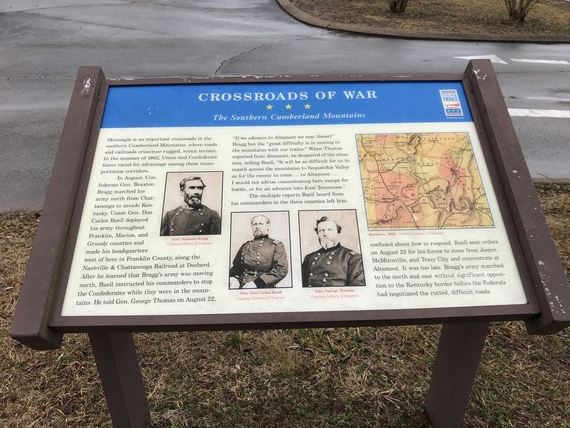
In August, Confederate Gen. Braxton Bragg marched his army north from Chattanooga to invade Kentucky. Union Gen. Don Carlos Buell deployed his army throughout Franklin, Marion, and Grundy counties and made his headquarters west of here in Franklin County, along the Nashville & Chattanooga Railroad at Decherd. After he learned that Bragg's army was moving north, Buell instructed his commanders to stop the Confederates while they were in the mountains. He told Gen. George Thomas on August 22, “If we advance to Altamont we may thwart” Bragg but the “great difficulty is in moving in the mountains with our trains.” When Thomas reported from Altamont, he despaired of the situation, telling Buell, “It will be as difficult for us to march across the mountains to Sequatchie Valley as for the enemy to come … to Altamont.… I would not advise concentrating here except for battle, or for an advance into East Tennessee.”
The multiple reports Buell heard from his commanders in the three counties left him confused about how to respond. Buell sent orders on August 23 for his forces to move from Jasper, McMinnville, and Tracy City and concentrate at Altamont. It was too late. Bragg's army marched to the north and east without significant opposition to the Kentucky border before the Federals had negotiated the rutted, difficult roads.
Captions(left to right):
• Gen. Braxton Bragg Courtesy Library of Congress
• Gen. Don Carlos Buell Courtesy Library of Congress
• Gen. George Thomas Courtesy Library of Congress
• Tennessee, 1863- Courtesy Library of Congress
Erected by Tennessee Civil War Trails.
Topics and series. This historical marker is listed in this topic list: War, US Civil. In addition, it is included in the Tennessee Civil War Trails series list. A significant historical month for this entry is August 1862.
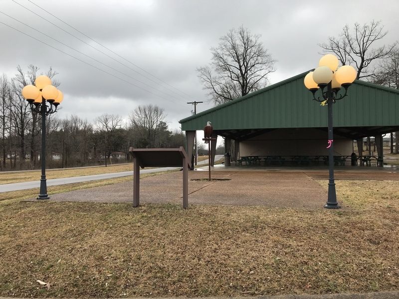
Location. 35° 14.415′ N, 85° 49.59′ W. Marker is in Monteagle, Tennessee, in Marion County. Marker is on Dubose Street (Tennessee Route 56) north of Dixie Lee Avenue (U.S. 64), on the right when traveling north. Touch for map. Marker is in this post office area: Monteagle TN 37356, United States of America. Touch for directions.
Other nearby markers. At least 8 other markers are within 2 miles of this marker, measured as the crow flies. Trail of Tears (about 700 feet away, measured in a direct line); RyeMabee 1930 (about 700 feet away); Monteagle Sunday School Assembly (approx. 0.6 miles away); The Amphitheater (approx. 0.7 miles away); The Dawn Redwood of Monteagle (approx. 0.7 miles away); Grundy County / Marion County (approx. 0.9 miles away); Highlander Folk School (approx. 1˝ miles away); Tullahoma Campaign (approx. 1˝ miles away). Touch for a list and map of all markers in Monteagle.
Credits. This page was last revised on February 28, 2021. It was originally submitted on February 28, 2021, by Duane and Tracy Marsteller of Murfreesboro, Tennessee. This page has been viewed 236 times since then and 38 times this year. Photos: 1, 2. submitted on February 28, 2021, by Duane and Tracy Marsteller of Murfreesboro, Tennessee.

