Perryville in Boyle County, Kentucky — The American South (East South Central)
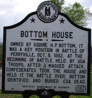
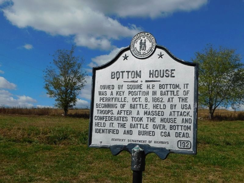
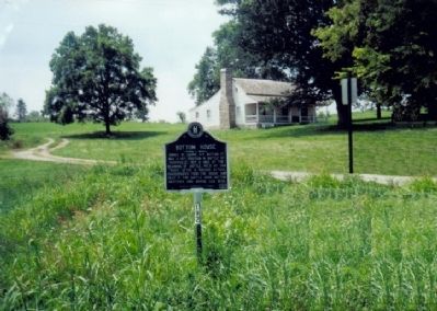
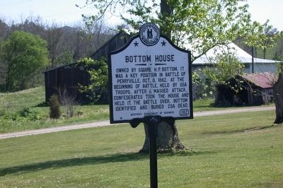
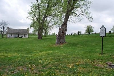
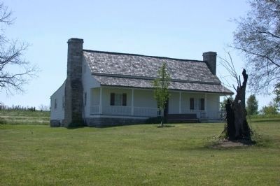
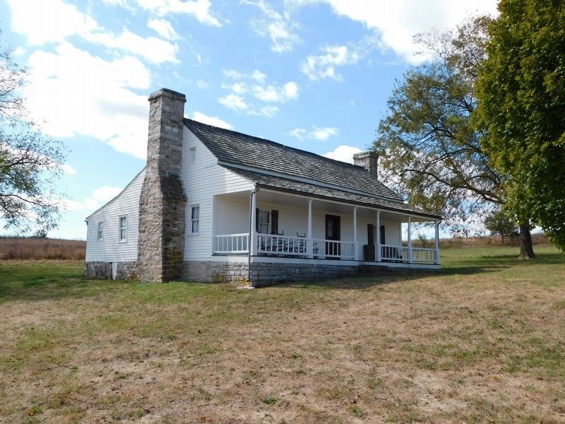
Bottom House
Erected by Kentucky Department of Highways. (Marker Number 192.)
Topics and series. This historical marker is listed in these topic lists: Notable Buildings • War, US Civil. In addition, it is included in the Kentucky Historical Society series list. A significant historical year for this entry is 1862.
Location. 37° 39.901′ N, 84° 58.194′ W. Marker is in Perryville, Kentucky, in Boyle County. Marker is on Hayes-May Road, on the right when traveling west. Marker is located at the southern edge of Perryville Battlefield State Historic Site. Touch for map. Marker is in this post office area: Perryville KY 40468, United States of America. Touch for directions.
Other nearby markers. At least 8 other markers are within walking distance of this marker. The H. P. Bottom House (within shouting distance of this marker); Baptism of Fire (about 300 feet away, measured in a direct line); The 15th Kentucky Infantry (US) (about 600 feet away); Assault from the Bottom House (about 600 feet away); Assault From The Bottom House (about 600 feet away); Michigan at Perryville (about 700 feet away); Artillery Duel at Loomis Heights (approx. 0.2 miles away); Simonson’s Battery (approx. ¼ mile away). Touch for a list and map of all markers in Perryville.
More about this marker. 2019 photo is not showing the signs of cracking down the center as in the 2012 photos.
Also see . . . The Battle of Perryville. (Submitted on August 6, 2009, by Bill Coughlin of Woodland Park, New Jersey.)
Credits. This page was last revised on March 1, 2021. It was originally submitted on August 6, 2009, by Bill Coughlin of Woodland Park, New Jersey. This page has been viewed 2,143 times since then and 37 times this year. Last updated on February 28, 2021, by Bradley Owen of Morgantown, West Virginia. Photos: 1. submitted on September 10, 2015, by Brandon Fletcher of Chattanooga, Tennessee. 2. submitted on February 28, 2021, by Bradley Owen of Morgantown, West Virginia. 3. submitted on August 6, 2009, by Bill Coughlin of Woodland Park, New Jersey. 4. submitted on May 3, 2012, by David Graff of Halifax, Nova Scotia. 5. submitted on September 10, 2015, by Brandon Fletcher of Chattanooga, Tennessee. 6. submitted on May 3, 2012, by David Graff of Halifax, Nova Scotia. 7. submitted on November 22, 2019, by Bradley Owen of Morgantown, West Virginia. • Bill Pfingsten was the editor who published this page.
