Sudan in Lamb County, Texas — The American South (West South Central)
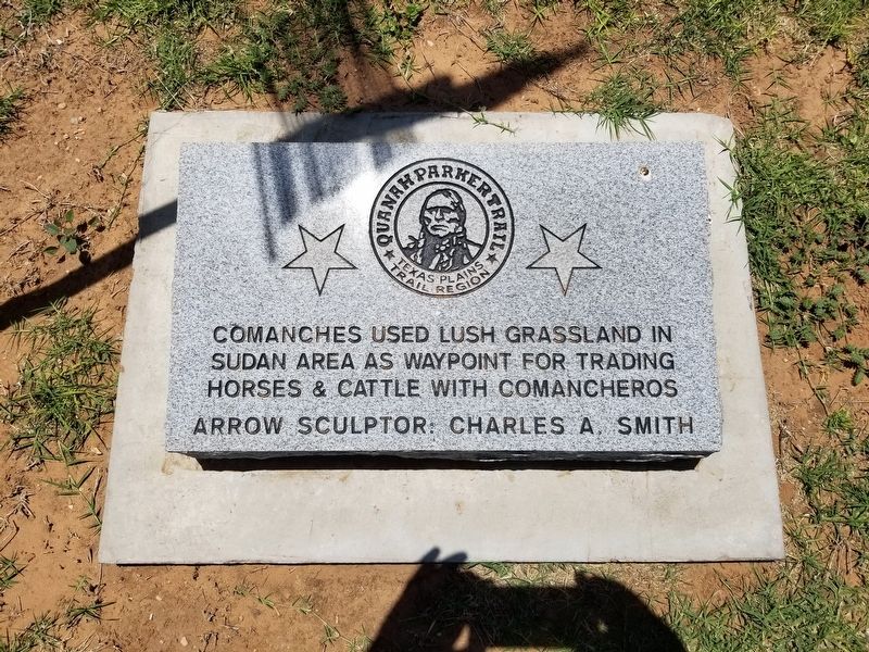
Quanah Parker Trail
Texas Plains Trail Region
Comanches used lush grassland in Sudan area as waypoint for trading horses & cattle with Comancheros
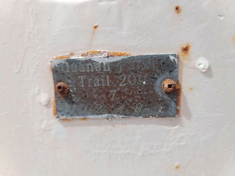
Arrow sculptor: Charles A. Smith (Marker Number 7.)
Topics. This historical marker is listed in this topic list: Native Americans.
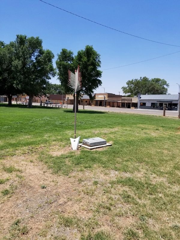
Location. 34° 4.036′ N, 102° 31.461′ W. Marker is in Sudan, Texas, in Lamb County. Marker is on US 84 when traveling east. Touch for map. Marker is in this post office area: Sudan TX 79371, United States of America. Touch for directions.
Other nearby markers. At least 8 other markers are within 14 miles of this marker, measured as the crow flies. Old Watering Trough (a few steps from this marker); Sod House Spring (approx. 7.2 miles away); Town of Amherst (approx. 7.4 miles away); Rocky Ford Crossing and Community (approx. 11˝ miles away); Spring Lake (approx. 11.6 miles away); First Irrigation Well in Lamb County (approx. 11.7 miles away); Comanchero Trail (approx. 11.7 miles away); a different marker also named Quanah Parker Trail (approx. 13.2 miles away).
Credits. This page was last revised on February 28, 2021. It was originally submitted on June 15, 2020, by Allen Lowrey of Amarillo, Texas. This page has been viewed 171 times since then and 10 times this year. Last updated on February 28, 2021, by Allen Lowrey of Amarillo, Texas. Photos: 1, 2. submitted on June 15, 2020, by Allen Lowrey of Amarillo, Texas. 3. submitted on February 28, 2021, by Allen Lowrey of Amarillo, Texas. • J. Makali Bruton was the editor who published this page.


