La Vernia in Wilson County, Texas — The American South (West South Central)
La Vernia
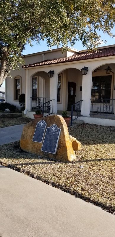
Established about 1846 or 1847 by Claiborne Rector, who built a stage stop and blacksmith shop here to serve travelers on the Chihuahua Road, a major trail in early Texas. Main Street today follows route of the old road. Settlement was called "Post Oak" until mail service started, 1856. Name was then changed to Spanish "La Verdear" because of many green oaks in area. English speakers called it "La Vernia". Like much of Texas, this area was settled by Southerners in search of fertile land. In Civil War, La Vernia was a recruiting and officer training center.
Erected 1968 by State Historical Survey Committee. (Marker Number 3004.)
Topics. This historical marker is listed in these topic lists: Roads & Vehicles • Settlements & Settlers • War, US Civil. A significant historical year for this entry is 1846.
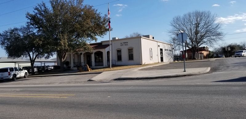
Location. 29° 21.338′ N, 98° 6.892′ W. Marker is in La Vernia, Texas, in Wilson County. Marker is at the intersection of Chihuahua Street and Bluebonnet Drive, on the left when traveling west on Chihuahua Street. The marker is located in front of the La Vernia City Office. Touch for map. Marker is at or near this postal address: 102 Chihuahua Street, La Vernia TX 78121, United States of America. Touch for directions.
Other nearby markers. At least 8 other markers are within walking distance of this marker. Old Chihuahua Road (here, next to this marker); Deaf Smith Oak Tree - the Next Generation (within shouting distance of this marker); Rector Chapel Bell (within shouting distance of this marker); Suttles Pottery (about 300 feet away, measured in a direct line); Brahan Lodge No. 226, A.F. & A.M. (approx. ¼ mile away); Immanuel Lutheran Church (approx. 0.3 miles away); La Vernia United Methodist Church (approx. 0.4 miles away); a different marker also named La Vernia United Methodist Church (approx. 0.4 miles away). Touch for a list and map of all markers in La Vernia.
Also see . . . La Vernia, TX.
La Vernia is on the south bank of Cibolo Creek at the junction of U.S. Highway 87 and Farm Road 775, fifteen miles north of Floresville in northern Wilson County. The town was first settled around 1850. W. R. Wiseman of Mississippi, who organized a Presbyterian church at the site around 1851, is said to have named the place Live Oak Grove for a grove nearby. In 1853 a post office was established under the name Post Oak, which was changed to La Vernia in 1859. The origin of the name is uncertain. Source: The Handbook of Texas(Submitted on February 28, 2021, by James Hulse of Medina, Texas.)
Credits. This page was last revised on March 1, 2021. It was originally submitted on February 28, 2021, by James Hulse of Medina, Texas. This page has been viewed 358 times since then and 50 times this year. Photos: 1, 2, 3. submitted on February 28, 2021, by James Hulse of Medina, Texas.


